Commons:Featured picture candidates/File:Krim 2014 de.svg
Jump to navigation
Jump to search

File:Krim 2014 de.svg, not featured
[edit]
Voting period is over. Please don't add any new votes.Voting period ends on 13 Mar 2014 at 07:53:35 (UTC)
Visit the nomination page to add or modify image notes.

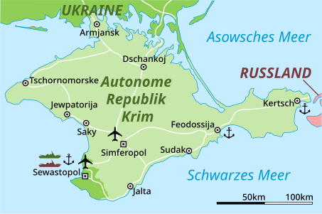
 Info created by Furfur, Martin Kraft (based on works of Urutseg & PANONIAN) - uploaded by Furfur, Martin Kraft - nominated by Excolis -- Excolis (talk) 07:53, 4 March 2014 (UTC)
 Support -- Excolis (talk) 07:53, 4 March 2014 (UTC)
 Oppose bad cartography, Daleke with 1031 inhabitants does not belong onto this map. --Schwarzorange (talk) 12:43, 4 March 2014 (UTC)
 - Oppose—extremely inefficient path quality—is this a bitmap trace? Other than that this is certainly a decent quality and useful image but not quite detailed or complex enough for FP.—Love, Kelvinsong talk 18:37, 8 March 2014 (UTC)
Confirmed results:
Result: 1 support, 1 oppose, 0 neutral → not featured. /(✉→Arctic Kangaroo←✎) 15:09, 9 March 2014 (UTC)