File:1730 Homann Map of the Upper Rhine ( Frankfurt, Cassel, Coblentz, Darmstadt ) - Geographicus - RhenanusSuperior-homann-1730.jpg
Jump to navigation
Jump to search
Size of this preview: 701 × 600 pixels. Other resolutions: 281 × 240 pixels | 561 × 480 pixels | 897 × 768 pixels | 1,197 × 1,024 pixels | 2,393 × 2,048 pixels | 5,000 × 4,279 pixels.
Original file (5,000 × 4,279 pixels, file size: 8.74 MB, MIME type: image/jpeg)
Captions
Captions
Add a one-line explanation of what this file represents
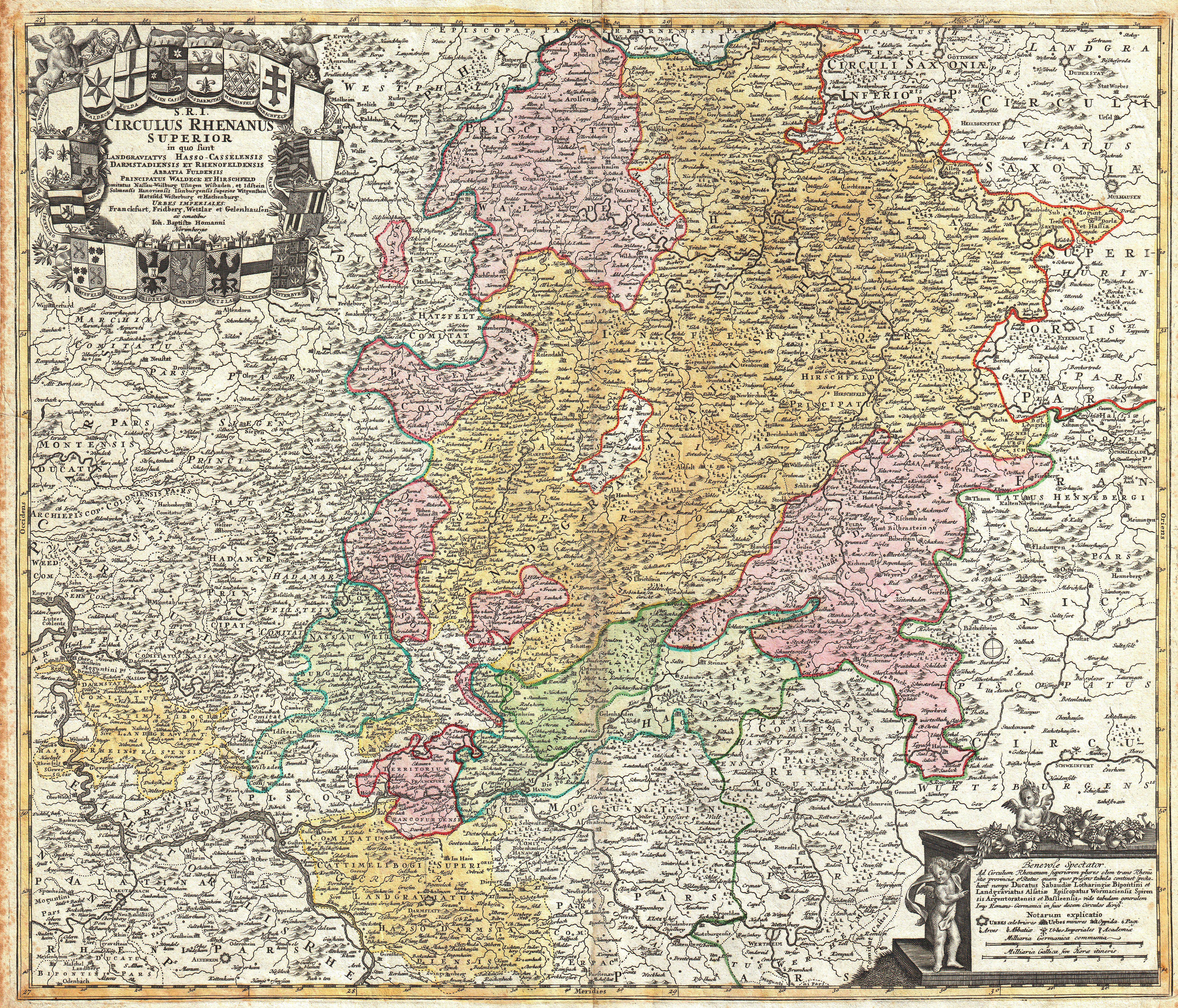
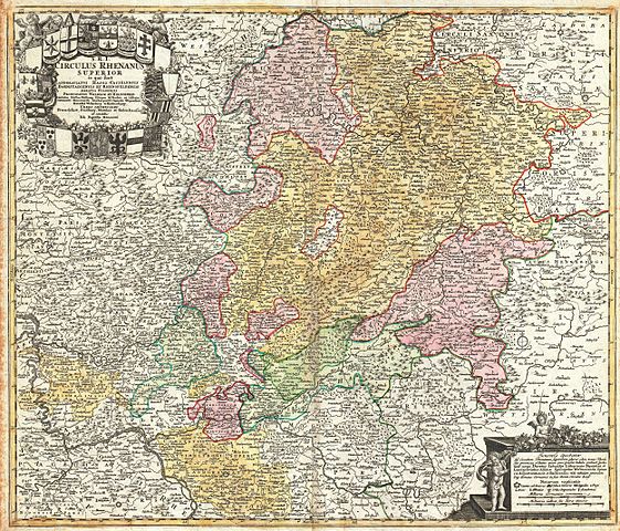
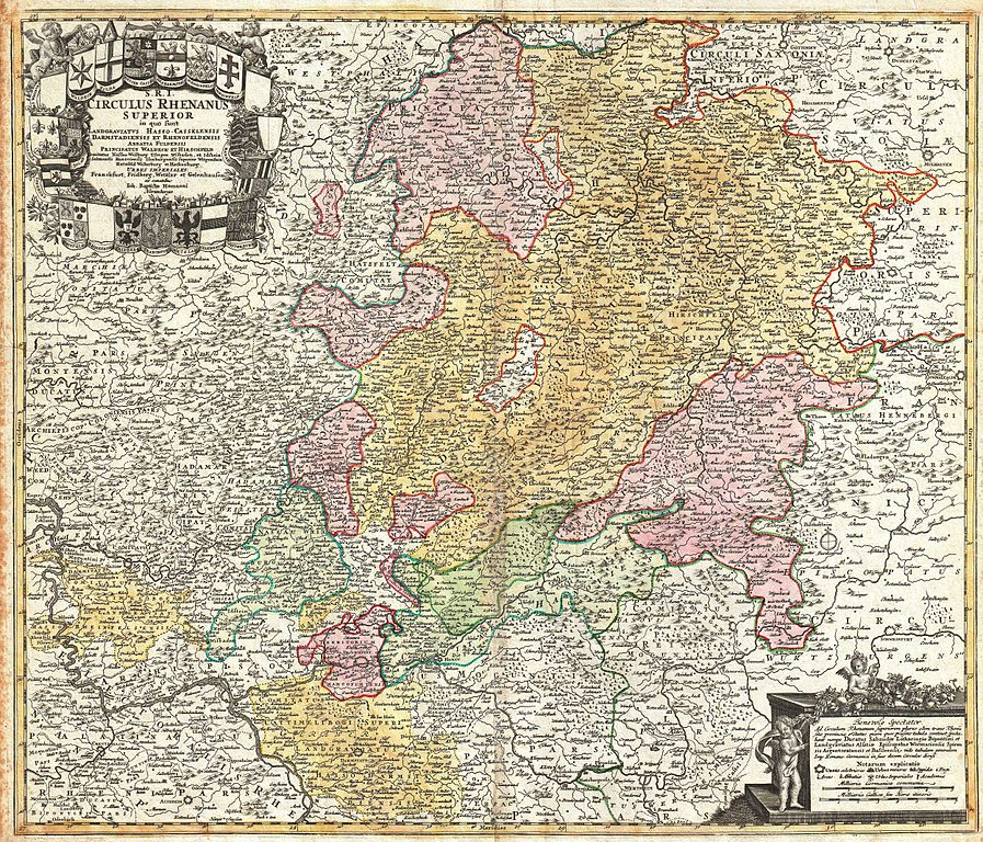
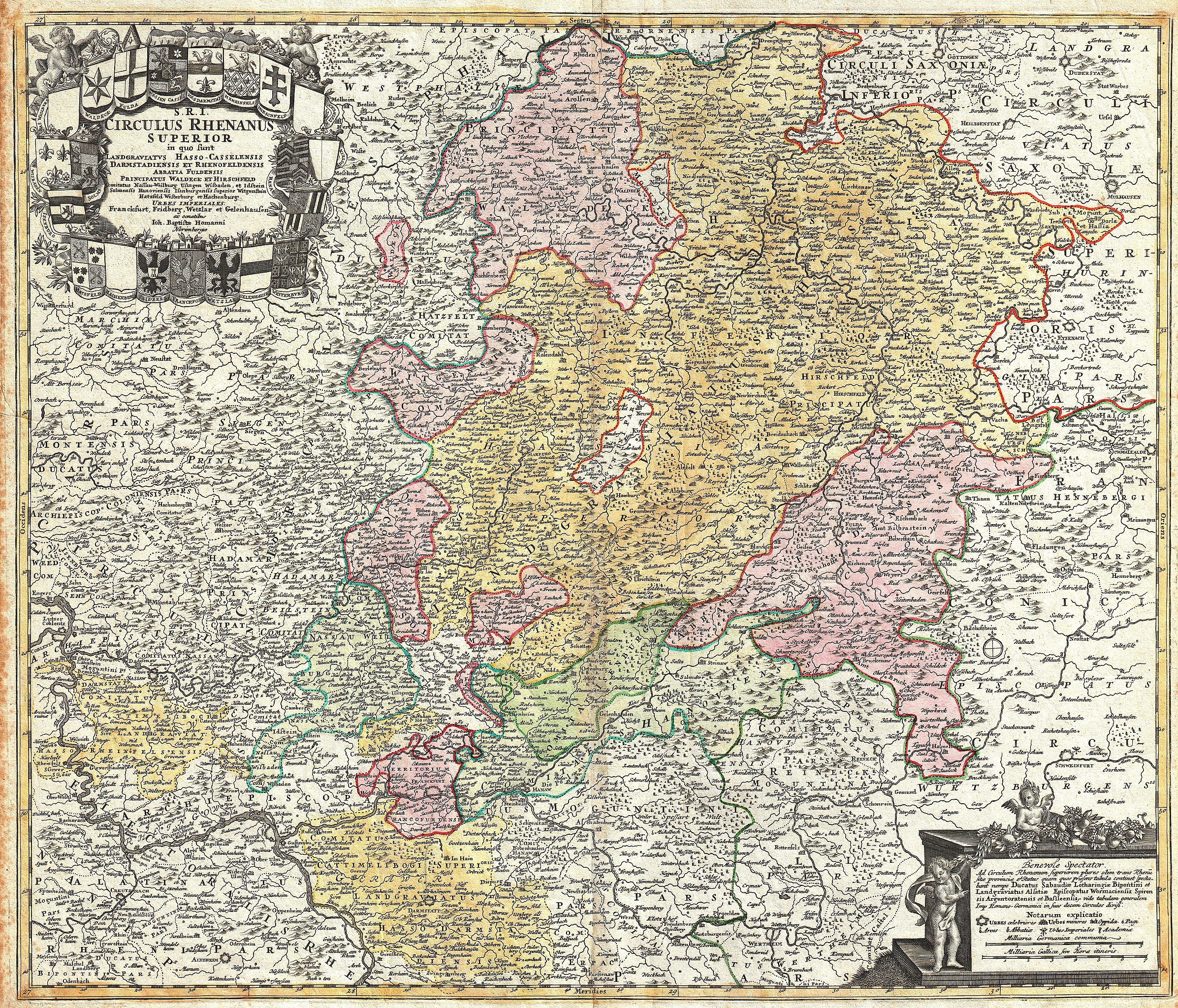
| Johann Homann: S.R.I. Circulus Rhenanus Superior in quo sunt Landgraviatus Hasson Casselensis, Darmstadiensis et Rhenofeldensis Abbatia Fuldensis…
( |
||||||||||||||||||||||||
|---|---|---|---|---|---|---|---|---|---|---|---|---|---|---|---|---|---|---|---|---|---|---|---|---|
| Artist |
|
|||||||||||||||||||||||
| Title |
S.R.I. Circulus Rhenanus Superior in quo sunt Landgraviatus Hasson Casselensis, Darmstadiensis et Rhenofeldensis Abbatia Fuldensis… |
|||||||||||||||||||||||
| Description |
English: A beautifully detailed c. 1730 Homann Heirs map of Upper Rhine region. Covers from Coblentz eastward as far as Schweinfurt, Schmalkalden and Mulhausen; northwards as far as Gottingen; and southwards as far as Darmstadt and Wertheim. Includes the cities of Cassel, Hirschfeld, Fulda, Frankfurt am Oder, Darmstadt, Nassaw, and Marpurb. The map details fortified cities, villages, roads, bridges, forests, castles and topography. The title cartouche in the upper left quadrant features twenty-one heraldic crests, each representing a major city. Curiously, four are blank. Legend with cherubs in lower right quadrant. This map was drawn in Nuremberg by J. B. Homann and issued in Homann’s Grosser Atlas as well as in the Homann Heirs’ Maior Atlas Scholasticus ex Triginta Sex Generalibus et Specialibus…. . |
|||||||||||||||||||||||
| Date | circa 1730(undated) | |||||||||||||||||||||||
| Dimensions | height: 19.2 in (48.8 cm); width: 22.7 in (57.7 cm) | |||||||||||||||||||||||
| Accession number |
Geographicus link: RhenanusSuperior-homann-1730 |
|||||||||||||||||||||||
| Source/Photographer |
Major Atlas Scholasticus Ex Triginta sex Generalibus et Specialibus Mappis Homannianis..., c. 1750. / Also issued in Homann's Grosser Atlas
|
|||||||||||||||||||||||
| Permission (Reusing this file) |
|
|||||||||||||||||||||||
.jpg)
File history
Click on a date/time to view the file as it appeared at that time.
| Date/Time | Thumbnail | Dimensions | User | Comment | |
|---|---|---|---|---|---|
| current | 08:07, 17 March 2011 | | 5,000 × 4,279 (8.74 MB) | BotMultichill (talk | contribs) | {{subst:User:Multichill/Geographicus |link=http://www.geographicus.com/P/AntiqueMap/RhenanusSuperior-homann-1730 |product_name=1730 Homann Map of the Upper Rhine ( Frankfurt, Cassel, Coblentz, Darmstadt ) |map_title=S.R.I. Circulus Rhenanus Superior in qu |
You cannot overwrite this file.
File usage on Commons
The following 2 pages use this file:
_-_Geographicus_-_RhenanusSuperior-homann-1730.jpg)
File usage on other wikis
The following other wikis use this file:
- Usage on azb.wikipedia.org
_-_Geographicus_-_RhenanusSuperior-homann-1730.jpg&oldid=744675242)