File:1741 Homann View and Map of London, England and Environs - Geographicus - London-homann-1741.jpg
Jump to navigation
Jump to search

Size of this preview: 673 × 600 pixels. Other resolutions: 269 × 240 pixels | 539 × 480 pixels | 862 × 768 pixels | 1,149 × 1,024 pixels | 2,298 × 2,048 pixels | 5,000 × 4,456 pixels.
Original file (5,000 × 4,456 pixels, file size: 9.01 MB, MIME type: image/jpeg)
Captions
Captions
Add a one-line explanation of what this file represents
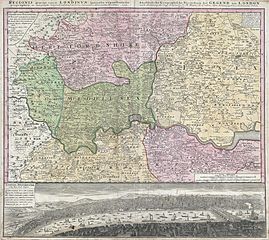
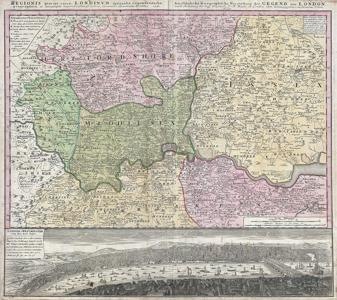
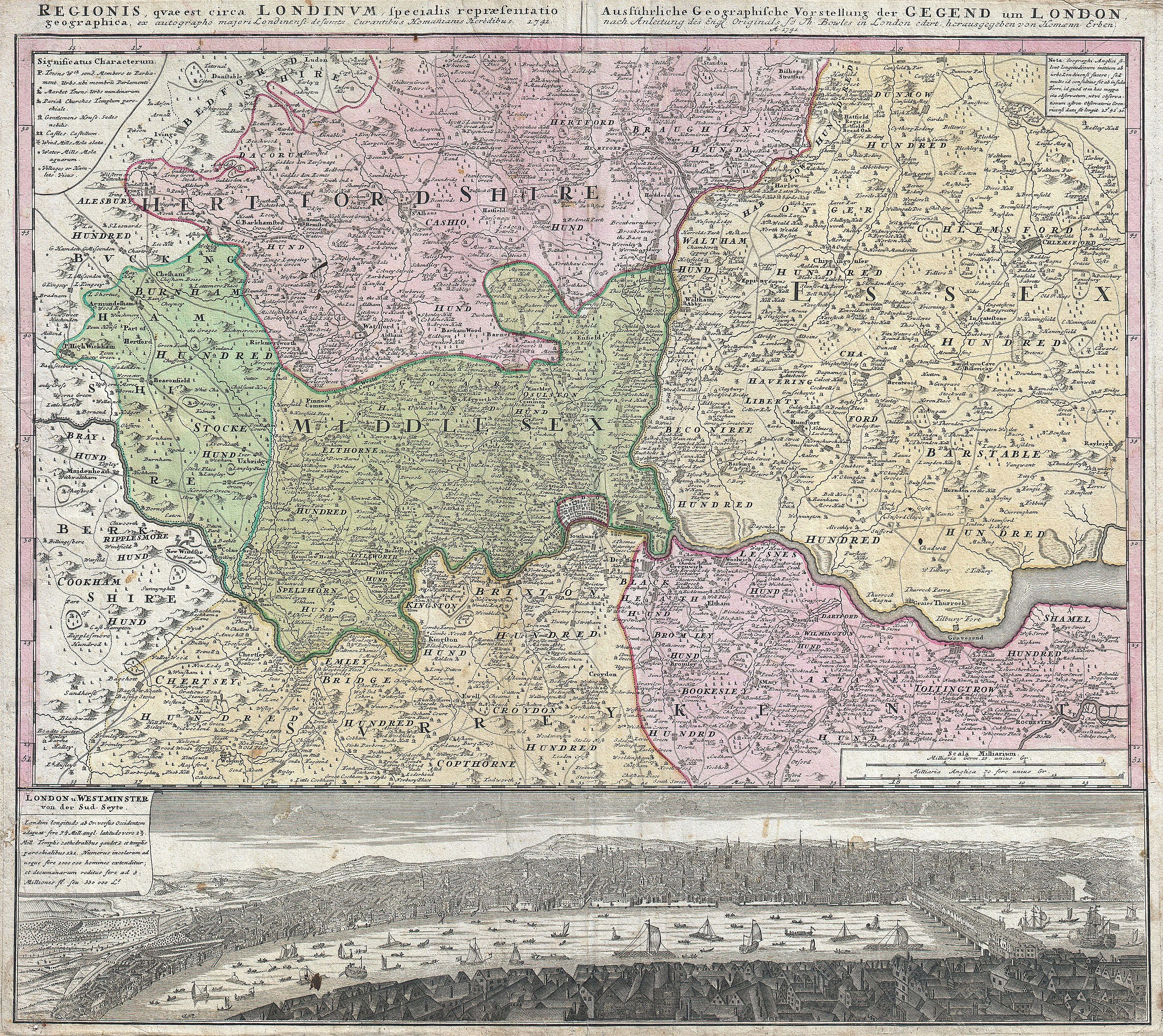
| Johann Homann: Regionis quae est circa Londinum, specialis representatio geographica, ex autographo majori Londinensi desumta, curantibus HOMANIANIS Heredibus, 1741.
( |
||||||||||||||||||||||||
|---|---|---|---|---|---|---|---|---|---|---|---|---|---|---|---|---|---|---|---|---|---|---|---|---|
| Artist |
|
|||||||||||||||||||||||
| Title |
Regionis quae est circa Londinum, specialis representatio geographica, ex autographo majori Londinensi desumta, curantibus HOMANIANIS Heredibus, 1741. |
|||||||||||||||||||||||
| Description |
English: A fine example of Homann Heirs’ iconic 1741 map of London and its environs. Based heavily upon an earlier map of the region by Thomas Bowles, this map covers the London area from Berkshire (including Windsor Castle) in the west to Shamel in the east, extending north north as far as Bedford. Specifically focuses on Hertfordshire, Middlesex, Surrey, Essex and Kent. Offers extraordinary detail throughout, showing roadways, villages, London Streets, estates, and in many cases, individual homes. The lower portion of the sheet is dominated by a dramatic bird's-eye view of London and Westminster from Southwark across the Thames. View reveals a densely populated showing numerous boats, barges, and sailing vessels. |
|||||||||||||||||||||||
| Date | 1741 (dated) | |||||||||||||||||||||||
| Dimensions | height: 20 in (50.8 cm); width: 22.5 in (57.1 cm) | |||||||||||||||||||||||
| Accession number |
Geographicus link: London-homann-1741 |
|||||||||||||||||||||||
| Source/Photographer |
|
|||||||||||||||||||||||
| Permission (Reusing this file) |
|
|||||||||||||||||||||||
.jpg)
File history
Click on a date/time to view the file as it appeared at that time.
| Date/Time | Thumbnail | Dimensions | User | Comment | |
|---|---|---|---|---|---|
| current | 21:48, 22 March 2011 | | 5,000 × 4,456 (9.01 MB) | BotMultichillT (talk | contribs) | {{subst:User:Multichill/Geographicus |link=http://www.geographicus.com/P/AntiqueMap/London-homann-1741 |product_name=1741 Homann View and Map of London, England and Environs |map_title=Regionis quae est circa Londinum, specialis representatio geographica, |
You cannot overwrite this file.
File usage on Commons
The following page uses this file: