File:1948 Olympic Sailing Countries.png
Jump to navigation
Jump to search

Size of this preview: 800 × 370 pixels. Other resolutions: 320 × 148 pixels | 640 × 296 pixels | 1,357 × 628 pixels.
Original file (1,357 × 628 pixels, file size: 19 KB, MIME type: image/png)
Captions
Captions
Add a one-line explanation of what this file represents
| Description | |
| Date | (UTC) |
| Source | |
| Author |
|
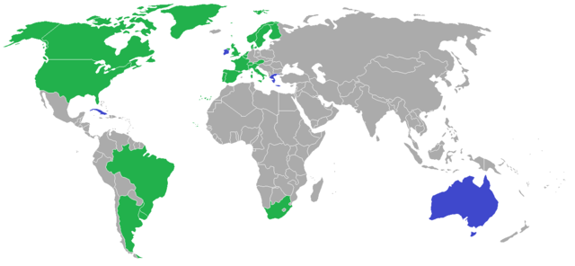
| This is a retouched picture, which means that it has been digitally altered from its original version. Modifications: Adding the 1948 Olympic sailing countries. The original can be viewed here: BlankMap-World-1957.png:
|
I, the copyright holder of this work, hereby publish it under the following licenses:
| This file is licensed under the Creative Commons Attribution-Share Alike 3.0 Unported license. | ||
| ||
| This licensing tag was added to this file as part of the GFDL licensing update. |

|
Permission is granted to copy, distribute and/or modify this document under the terms of the GNU Free Documentation License, Version 1.2 or any later version published by the Free Software Foundation; with no Invariant Sections, no Front-Cover Texts, and no Back-Cover Texts. A copy of the license is included in the section entitled GNU Free Documentation License. |
You may select the license of your choice.
Original upload log
[edit]
This image is a derivative work of the following images:
- File:BlankMap-World-1957.png licensed with Cc-by-sa-3.0-migrated, GFDL
- 2007-08-06T01:03:49Z Hoshie 1357x628 (48559 Bytes) added Cabinda, under same license as original.
- 2007-01-29T02:57:15Z Hoshie 1357x628 (48548 Bytes) Added the Canal Zone
- 2006-12-22T02:07:12Z Roke 1357x628 (48548 Bytes) somaliland, cameroons, sikkim, goa, rm walvis bay (part of SW Africa until 1971), reduce size of microstates, add some missing islands
- 2006-12-19T03:55:05Z Hoshie 1357x628 (48056 Bytes) Added the Neutral Zones between Saudi, Iraq, and Kuwait, Walvis Bay, and Port. Timor. Under same license as original.
- 2006-12-05T13:59:07Z Roke 1357x628 (27664 Bytes) Blank map of the world showing 1957 borders. [[Category:Historical blank world maps]] [[Category:1957]]
Uploaded with derivativeFX
File history
Click on a date/time to view the file as it appeared at that time.
| Date/Time | Thumbnail | Dimensions | User | Comment | |
|---|---|---|---|---|---|
| current | 21:07, 15 May 2015 | | 1,357 × 628 (19 KB) | RokerHRO (talk | contribs) | optipng -o7 -i0 → 64.47% decrease |
| 16:33, 23 June 2010 |  | 1,357 × 628 (55 KB) | VYGOcommons (talk | contribs) | {{Information |Description=== |Source=*File:BlankMap-World-1957.png |Date=2010-06-23 16:32 (UTC) |Author=*File:BlankMap-World-1957.png: Hoshie *derivative work: ~~~ |Permission=see below |other_versions= }} {{RetouchedPicture|Adding the 1948 |
You cannot overwrite this file.
File usage on Commons
The following 2 pages use this file:
File usage on other wikis
The following other wikis use this file:
- Usage on ca.wikipedia.org
- Usage on en.wikipedia.org
- Usage on pt.wikipedia.org
- Usage on www.wikidata.org