File:2005 Indian Railways network-fr.png
Jump to navigation
Jump to search
No higher resolution available.
2005_Indian_Railways_network-fr.png (500 × 552 pixels, file size: 36 KB, MIME type: image/png)
Captions
Captions
Add a one-line explanation of what this file represents

|
This map image could be re-created using vector graphics as an SVG file. This has several advantages; see Commons:Media for cleanup for more information. If an SVG form of this image is available, please upload it and afterwards replace this template with
{{vector version available|new image name}}.
It is recommended to name the SVG file “2005 Indian Railways network-fr.svg”—then the template Vector version available (or Vva) does not need the new image name parameter. |
Summary
[edit]
| Description |
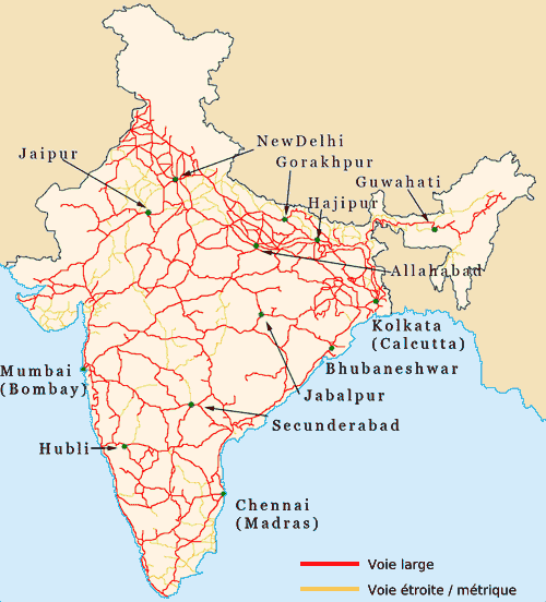
English: Indian Railways network map in French
Français : Carte en français du réseau ferroviaire indien |
| Date | |
| Source | French Wikipedia |
| Author | fr-user:Liquid 2003 |
| Permission (Reusing this file) |
GFDL |
Licensing
[edit]

|
Permission is granted to copy, distribute and/or modify this document under the terms of the GNU Free Documentation License, Version 1.2 or any later version published by the Free Software Foundation; with no Invariant Sections, no Front-Cover Texts, and no Back-Cover Texts. A copy of the license is included in the section entitled GNU Free Documentation License. |
| This file is licensed under the Creative Commons Attribution-Share Alike 3.0 Unported license. | ||
| ||
| This licensing tag was added to this file as part of the GFDL licensing update. |
File history of the French Wikipedia :
(suppr) (actu) 28 janvier 2006 à 16:29 . . Tvpm (Discuter | Contribs) . . 500x552 (37 345 octets) ({{GFDL}} Catégorie:Cartes de l'Inde)
(suppr) (rétab) 11 décembre 2005 à 06:23 . . Liquid 2003 (Discuter | Contribs) . . 500x552 (179 196 octets) (Améliorée par Liquid_2003)
(suppr) (rétab) 11 décembre 2005 à 06:22 . . Liquid 2003 (Discuter | Contribs) . . 500x552 (179 196 octets) (Améliorée par Liquid_2003)
(suppr) (rétab) 11 décembre 2005 à 06:21 . . Liquid 2003 (Discuter | Contribs) . . 500x552 (179 196 octets)
File history
Click on a date/time to view the file as it appeared at that time.
| Date/Time | Thumbnail | Dimensions | User | Comment | |
|---|---|---|---|---|---|
| current | 13:45, 17 June 2006 | | 500 × 552 (36 KB) | Sting (talk | contribs) | {{Information |Description=Indian Railways network map in French |Source=French Wikipedia |Date=December 2005 |Author=fr-user:Liquid 2003 |Permission=GFDL |other_versions= }} ---- {{fr}} * '''Sujet :''' Carte en français du réseau ferroviaire indien |
You cannot overwrite this file.
File usage on Commons
The following page uses this file:
- File:Indian Railways network-fr.png (file redirect)
File usage on other wikis
The following other wikis use this file:
- Usage on fr.wikipedia.org