File:2010-10-23 11-12-58 Malawi - Chileka.jpg
From Wikimedia Commons, the free media repository
Jump to navigation
Jump to search
Size of this preview: 800 × 531 pixels. Other resolutions: 320 × 212 pixels | 640 × 425 pixels | 1,024 × 680 pixels | 1,280 × 850 pixels | 2,560 × 1,699 pixels | 4,063 × 2,697 pixels.
Original file (4,063 × 2,697 pixels, file size: 3.57 MB, MIME type: image/jpeg)
File information
Structured data
Captions
Summary
[edit]Description2010-10-23 11-12-58 Malawi - Chileka.jpg |
English: Malawi, a Russian helicopter without visible registration carries president Mugabe from Blantyre's Chileka airport to the opening of the new inland port. |
Date | |
Source |
Own work: Hansueli Krapf (User Simisa (talk · contribs)) This file was uploaded with Commonist. |
Author | Hansueli Krapf |
Camera location | 15° 40′ 52.41″ S, 34° 58′ 19.57″ E | View this and other nearby images on: OpenStreetMap | -15.681226; 34.972102 |
---|
Licensing
[edit]I, the copyright holder of this work, hereby publish it under the following license:
This file is licensed under the Creative Commons Attribution-Share Alike 3.0 Unported license.
- You are free:
- to share – to copy, distribute and transmit the work
- to remix – to adapt the work
- Under the following conditions:
- attribution – You must give appropriate credit, provide a link to the license, and indicate if changes were made. You may do so in any reasonable manner, but not in any way that suggests the licensor endorses you or your use.
- share alike – If you remix, transform, or build upon the material, you must distribute your contributions under the same or compatible license as the original.
File history
Click on a date/time to view the file as it appeared at that time.
Date/Time | Thumbnail | Dimensions | User | Comment | |
---|---|---|---|---|---|
current | 19:44, 27 October 2010 | 4,063 × 2,697 (3.57 MB) | Simisa (talk | contribs) |
You cannot overwrite this file.
File usage on Commons
There are no pages that use this file.
Metadata
This file contains additional information such as Exif metadata which may have been added by the digital camera, scanner, or software program used to create or digitize it. If the file has been modified from its original state, some details such as the timestamp may not fully reflect those of the original file. The timestamp is only as accurate as the clock in the camera, and it may be completely wrong.
Camera manufacturer | NIKON CORPORATION |
---|---|
Camera model | NIKON D90 |
Author | Hansueli Krapf |
Copyright holder |
|
Exposure time | 1/320 sec (0.003125) |
F-number | f/10 |
ISO speed rating | 200 |
Date and time of data generation | 11:12, 23 October 2010 |
Lens focal length | 105 mm |
Latitude | 15° 40′ 52.41″ S |
Longitude | 34° 58′ 19.57″ E |
Altitude | 777.6 meters above sea level |
Short title |
|
Source | Hansueli Krapf |
Orientation | Normal |
Horizontal resolution | 300 dpi |
Vertical resolution | 300 dpi |
Software used | Capture NX 2.2.5 W |
File change date and time | 19:04, 27 October 2010 |
Y and C positioning | Centered |
Pair of black and white reference values |
|
Exposure Program | Not defined |
Exif version | 2.2 |
Date and time of digitizing | 11:12, 23 October 2010 |
Meaning of each component |
|
APEX exposure bias | 0 |
Maximum land aperture | 5 APEX (f/5.66) |
Metering mode | Pattern |
Light source | Unknown |
Flash | Flash did not fire, auto mode |
DateTime subseconds | 00 |
DateTimeOriginal subseconds | 00 |
DateTimeDigitized subseconds | 00 |
Supported Flashpix version | 1 |
Color space | sRGB |
Sensing method | One-chip color area sensor |
File source | Digital still camera |
Scene type | A directly photographed image |
Custom image processing | Normal process |
Exposure mode | Auto exposure |
White balance | Auto white balance |
Digital zoom ratio | 1 |
Focal length in 35 mm film | 157 mm |
Scene capture type | Landscape |
Scene control | None |
Contrast | Normal |
Saturation | Normal |
Sharpness | Normal |
Subject distance range | Unknown |
GPS time (atomic clock) | 13:12 |
Satellites used for measurement | 0 |
Geodetic survey data used | WGS-84 |
GPS date | 23 October 2010 |
GPS tag version | 0.0.2.2 |
Contact information |
Hinterdorf 24 Dörflingen, , CH-8239 |
Keywords |
|
Rating (out of 5) | 1 |
Code for country shown | MWI |
Sublocation of city shown | Chileka |
Country shown | Malawi |
IIM version | 4 |
Structured data
Items portrayed in this file
depicts
23 October 2010
15°40'52.4143"S, 34°58'19.5665"E
image/jpeg
7bfda817734108887575fb298c62f6714177cc12
3,739,846 byte
2,697 pixel
4,063 pixel
0.003125 second
10
200
105 millimetre
Categories:
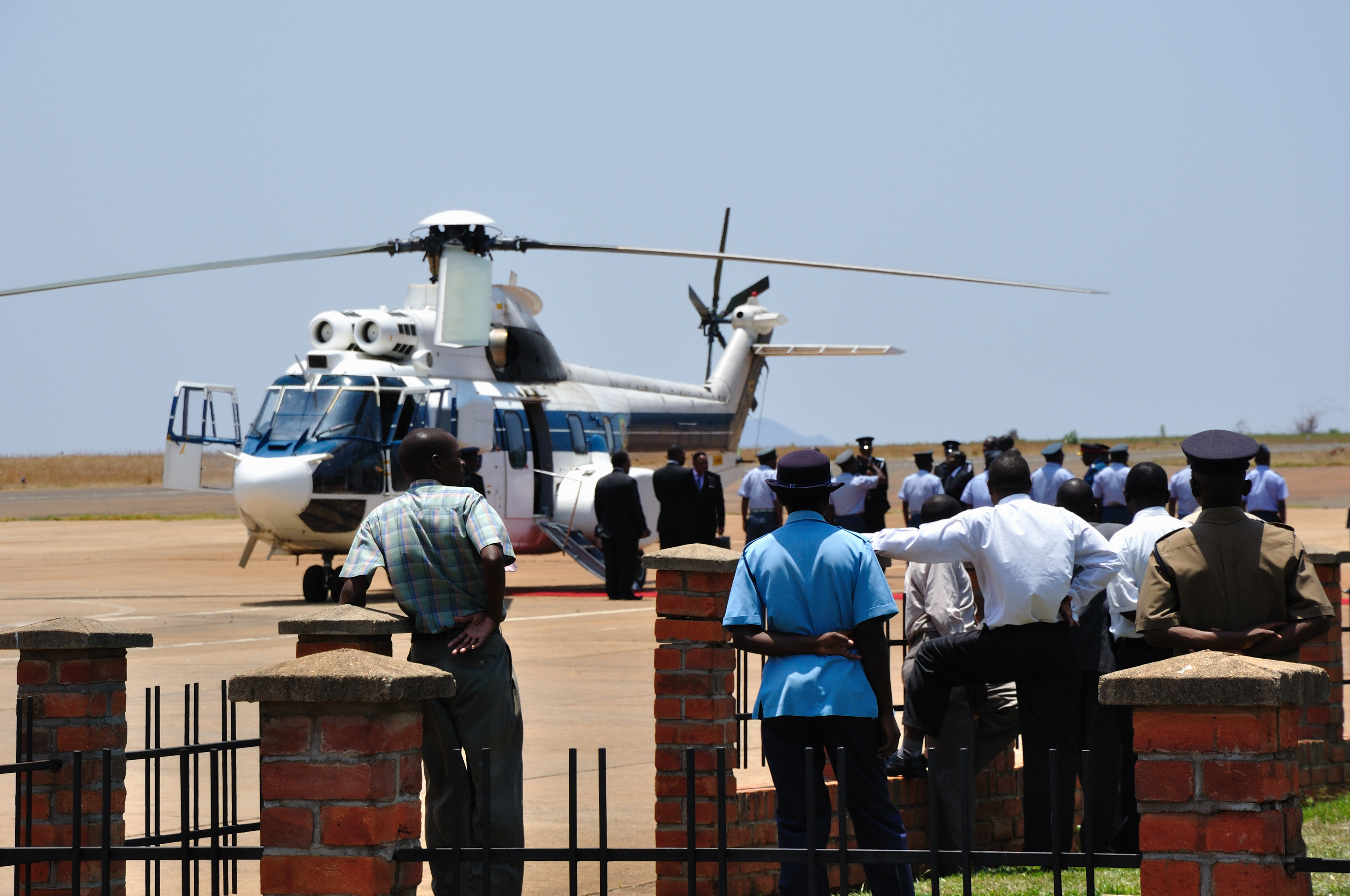
- Aircraft of the Air Force of Zimbabwe at Chileka International Airport
- Robert Mugabe in 2010
- People disembarking from aircraft of the Air Force of Zimbabwe
- Air Force of Zimbabwe AS 332 L
- Puma helicopter left-front views
- Airbus Helicopters Puma family facing left
- 2010 in aviation in Malawi
- Air Force of Zimbabwe in 2010