File:Ag-map LT.png
Jump to navigation
Jump to search
No higher resolution available.
Ag-map_LT.png (392 × 348 pixels, file size: 34 KB, MIME type: image/png)
Captions
Captions
Add a one-line explanation of what this file represents
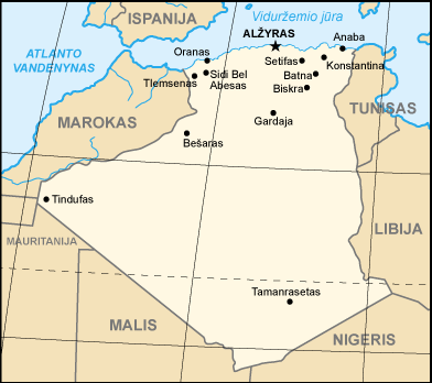
| Description |
CIA Map of Algeria (Lithuanian version), based on |
|||
| Date | ||||
| Source |
|
|||
| Author | arz (Arz) | |||
| Other versions |
[]
|


File history
Click on a date/time to view the file as it appeared at that time.
| Date/Time | Thumbnail | Dimensions | User | Comment | |
|---|---|---|---|---|---|
| current | 06:29, 19 April 2007 | | 392 × 348 (34 KB) | Arz (talk | contribs) | |
| 09:53, 16 April 2007 |  | 392 × 348 (47 KB) | Arz (talk | contribs) | {{Information |Description=CIA Map of Algeria (Lithuanian version), based on 25px [https://commons.wikimedia.org/wiki/Image:Ag-map.png] |Source={{PD-USGov-CIA-WF}} |Date=April 16, 2007 |Author= arz (~~~) |other_versions= }} [[Category |
You cannot overwrite this file.
File usage on Commons
The following 13 pages use this file:
- File:000 Algjeria harta.PNG
- File:Ag-map-HE.png
- File:Ag-map - 2.png
- File:Ag-map LT.png
- File:Algeria-map.png
- File:Algeria CIA map.png
- File:Algeria map-FR.png
- File:Algeria map-es.jpg
- File:Algeria map-sv.png
- File:Algeria map Arabic.png
- File:Algeriekaart.png
- File:Carte-algerie.png
- Template:Other versions/Algeria map
File usage on other wikis
The following other wikis use this file:
- Usage on lt.wikipedia.org