File:Algeria Oran Area Wilayas.png
Jump to navigation
Jump to search

Size of this preview: 609 × 600 pixels. Other resolutions: 244 × 240 pixels | 488 × 480 pixels | 780 × 768 pixels | 1,040 × 1,024 pixels | 2,000 × 1,969 pixels.
Original file (2,000 × 1,969 pixels, file size: 478 KB, MIME type: image/png)
Captions
Captions
Add a one-line explanation of what this file represents
| Description |
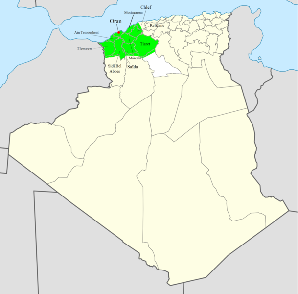
English: Oran area, which includes several Algerians Wilayas (administratives provinces), as in 2009.
Français : Carte de l'Oranie montrant les Wilayas d'Algérie (provinces administratives), telles qu'en 2009. Lambert conformal conic projection, WGS84 datum |
| Date | (UTC) |
| Source | |
| Author |
| This is a retouched picture, which means that it has been digitally altered from its original version. The original can be viewed here: Algeria Wilayas-blank.svg:
|
I, the copyright holder of this work, hereby publish it under the following licenses:
This file is licensed under the Creative Commons Attribution-Share Alike 3.0 Unported, 2.5 Generic, 2.0 Generic and 1.0 Generic license.
- You are free:
- to share – to copy, distribute and transmit the work
- to remix – to adapt the work
- Under the following conditions:
- attribution – You must give appropriate credit, provide a link to the license, and indicate if changes were made. You may do so in any reasonable manner, but not in any way that suggests the licensor endorses you or your use.
- share alike – If you remix, transform, or build upon the material, you must distribute your contributions under the same or compatible license as the original.

|
Permission is granted to copy, distribute and/or modify this document under the terms of the GNU Free Documentation License, Version 1.2 or any later version published by the Free Software Foundation; with no Invariant Sections, no Front-Cover Texts, and no Back-Cover Texts. A copy of the license is included in the section entitled GNU Free Documentation License. |
You may select the license of your choice.
Original upload log
[edit]
This image is a derivative work of the following images:
- File:Algeria_Wilayas-blank.svg licensed with Cc-by-sa-3.0,2.5,2.0,1.0, GFDL
- 2009-11-18T20:37:24Z Sting 508x500 (71744 Bytes) Grey standard color for other countries
- 2009-11-18T12:51:59Z Sting 508x500 (71488 Bytes) Updated Wilayas boundaries ; new standard colors
- 2007-11-09T09:10:39Z Sémhur 478x500 (68998 Bytes) New version, smaller and more centered on Algeria
- 2007-11-05T12:31:58Z Sémhur 1500x1500 (193477 Bytes) {{Information |Description= {{en}} Blank map of Algerians Wilayas (administratives provinces). {{fr}} Carte muette des Wilayas d'Algérie (provinces administratives). |Source=Own work, from [[:Image:DZ-01.svg|DZ-01.svg]] by [
Uploaded with derivativeFX
File history
Click on a date/time to view the file as it appeared at that time.
| Date/Time | Thumbnail | Dimensions | User | Comment | |
|---|---|---|---|---|---|
| current | 15:22, 1 October 2010 | | 2,000 × 1,969 (478 KB) | OranaisDZ (talk | contribs) | ENG: After a discussion with others Wikicontributors, we decided to modify it. ENG: Changement de la carte au niveau de la wilaya de Laghouat, après discussion. |
| 21:40, 29 September 2010 |  | 2,000 × 1,969 (382 KB) | OranaisDZ (talk | contribs) | I modified the file a little bit. | |
| 21:06, 29 September 2010 |  | 2,000 × 1,969 (380 KB) | OranaisDZ (talk | contribs) | {{Information |Description={{en| Oran area, which includes several Algerians Wilayas (administratives provinces), as in 2009. Each Wilaya in the file is an independent polygon.}} {{fr|Carte de l'Oranie [[:fr:Wilayas d'Algérie |
You cannot overwrite this file.
File usage on Commons
There are no pages that use this file.