File:Algeria alternative.svg
Jump to navigation
Jump to search

Size of this PNG preview of this SVG file: 286 × 298 pixels. Other resolutions: 230 × 240 pixels | 461 × 480 pixels | 737 × 768 pixels | 983 × 1,024 pixels | 1,966 × 2,048 pixels.
Original file (SVG file, nominally 286 × 298 pixels, file size: 60 KB)
Captions
Captions
Add a one-line explanation of what this file represents
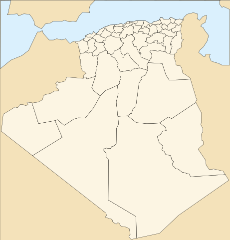
| Description | Map of the provinces of Algeria | ||||||||
| Date | 1/7/2007 | ||||||||
| Source | Image:Algeria.svg by User:gvf | ||||||||
| Author | User:Escondites | ||||||||
| Permission (Reusing this file) |
This file is licensed under the Creative Commons Attribution 2.5 Generic license.
|
||||||||
| Other versions | Image:Algeria.svg |

This vector image was created with Inkscape by v .
File history
Click on a date/time to view the file as it appeared at that time.
| Date/Time | Thumbnail | Dimensions | User | Comment | |
|---|---|---|---|---|---|
| current | 09:49, 8 November 2007 | | 286 × 298 (60 KB) | Escondites (talk | contribs) | {{Information |Description=Map of the provinces of Algeria |Source=Image:Algeria.svg by User:gvf |Date=1/7/2007 |Author=User:Escondites |Permission={{GFDL}}{{cc-by-2.5}} |other_versions=Image:Algeria.svg }} [[Category:Map |
You cannot overwrite this file.
File usage on Commons
The following 13 pages use this file:
- File:000 Algjeria harta.PNG
- File:Ag-map-HE.png
- File:Ag-map - 2.png
- File:Ag-map LT.png
- File:Algeria-map.png
- File:Algeria CIA map.png
- File:Algeria map-FR.png
- File:Algeria map-es.jpg
- File:Algeria map-sv.png
- File:Algeria map Arabic.png
- File:Algeriekaart.png
- File:Carte-algerie.png
- Template:Other versions/Algeria map
File usage on other wikis
The following other wikis use this file:
- Usage on fr.wikipedia.org
- Usage on hsb.wikipedia.org
- Usage on hy.wikipedia.org