File:Antoing l'ancienne halle aux draps (4).jpg
Jump to navigation
Jump to search
Size of this preview: 800 × 600 pixels. Other resolutions: 320 × 240 pixels | 640 × 480 pixels | 1,024 × 768 pixels | 1,280 × 960 pixels | 2,560 × 1,920 pixels | 4,896 × 3,672 pixels.
Original file (4,896 × 3,672 pixels, file size: 6.45 MB, MIME type: image/jpeg)
Captions
Captions
Add a one-line explanation of what this file represents
Summary
[edit]| Description |
Français :
|
||||||||||||||||||||
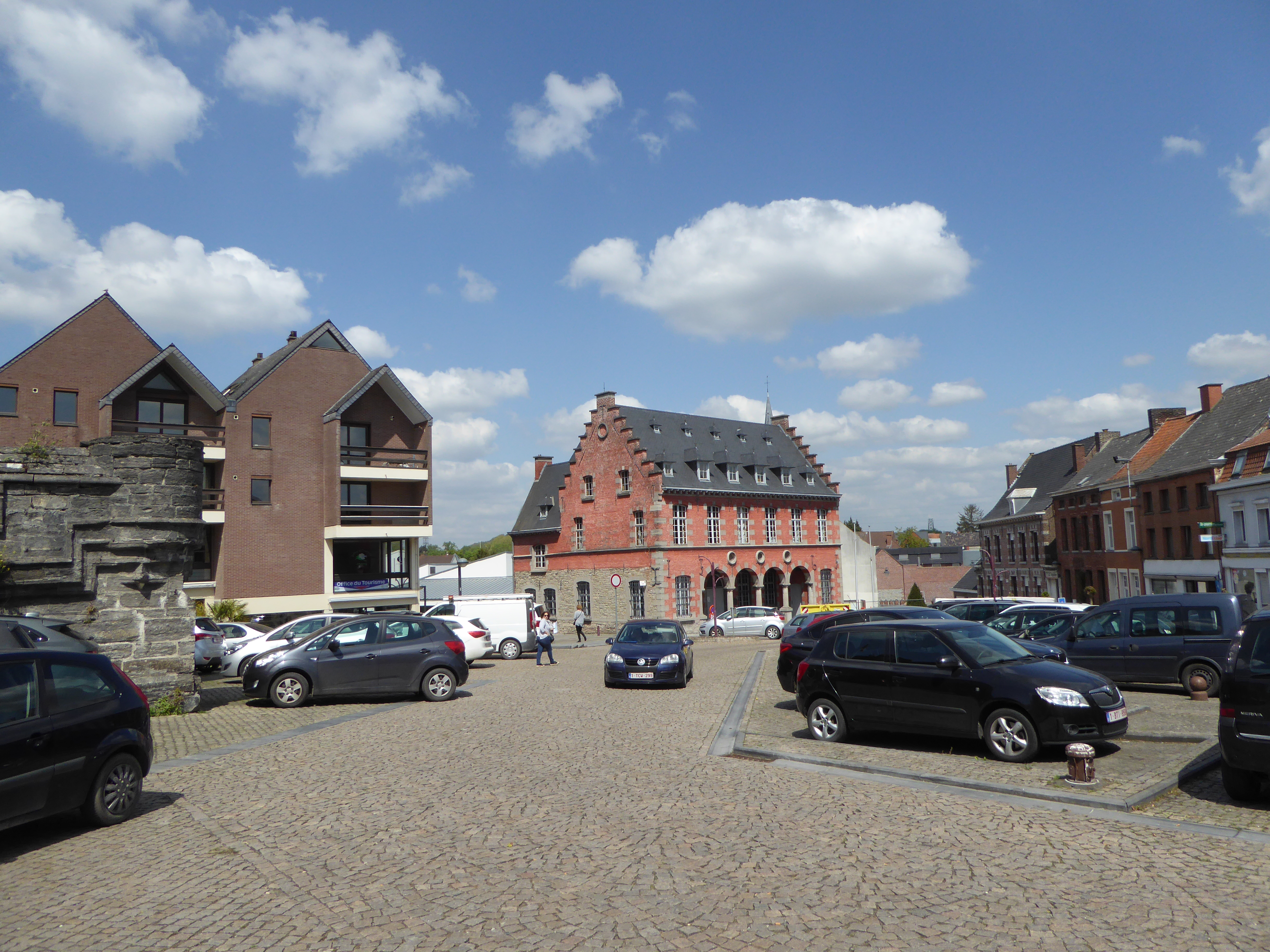
| Depicted place | Office du tourisme d'Antoing | ||||||||||||||||||||
| Address |
|
||||||||||||||||||||
| Date | |||||||||||||||||||||
| Source | Own work | ||||||||||||||||||||
| Author |
|
||||||||||||||||||||
| Permission (Reusing this file) |
|
||||||||||||||||||||
| Other versions |
|
||||||||||||||||||||


.jpg)

.jpg)
_(1).jpg)
_(3).jpg)
.jpg&action=edit§ion=1)
| Object location | | View this and other nearby images on: OpenStreetMap |
|---|
.jpg¶ms=050.565672_N_0003.448868_E_globe:Earth_class:object_region:BE-VLG_type:landmark_scale:1500_&language=en)
Licensing
[edit].jpg&action=edit§ion=2)
I, the copyright holder of this work, hereby publish it under the following licenses:

|
Permission is granted to copy, distribute and/or modify this document under the terms of the GNU Free Documentation License, Version 1.2 or any later version published by the Free Software Foundation; with no Invariant Sections, no Front-Cover Texts, and no Back-Cover Texts. A copy of the license is included in the section entitled GNU Free Documentation License. |
This file is licensed under the Creative Commons Attribution-Share Alike 4.0 International, 3.0 Unported, 2.5 Generic, 2.0 Generic and 1.0 Generic license.
- You are free:
- to share – to copy, distribute and transmit the work
- to remix – to adapt the work
- Under the following conditions:
- attribution – You must give appropriate credit, provide a link to the license, and indicate if changes were made. You may do so in any reasonable manner, but not in any way that suggests the licensor endorses you or your use.
- share alike – If you remix, transform, or build upon the material, you must distribute your contributions under the same or compatible license as the original.
You may select the license of your choice.

|
This image was uploaded as part of the photo contest Wiki Loves Heritage in Belgium in 2021.
|
File history
Click on a date/time to view the file as it appeared at that time.
| Date/Time | Thumbnail | Dimensions | User | Comment | |
|---|---|---|---|---|---|
| current | 09:11, 4 May 2018 | | 4,896 × 3,672 (6.45 MB) | Pierre André Leclercq (talk | contribs) |
You cannot overwrite this file.
File usage on Commons
The following 6 pages use this file:
- File:Antoing L'ancien hôtel de ville désafecté (4).JPG (file redirect)
- File:Antoing hôtel de ville en 2021.JPG
- File:Antoing l'ancienne halle aux draps (4).jpg
- File:Antoing l'ancienne halle aux draps (hôtel de ville) (1).jpg
- File:Antoing l'ancienne halle aux draps (hôtel de ville) (2).jpg
- File:Antoing l'ancienne halle aux draps (hôtel de ville) (3).jpg
.JPG&redirect=no)
_(2).jpg)
.jpg&oldid=781741262)