File:AtlBalk680 hu.png
Jump to navigation
Jump to search
Size of this preview: 583 × 599 pixels. Other resolutions: 233 × 240 pixels | 467 × 480 pixels | 680 × 699 pixels.
Original file (680 × 699 pixels, file size: 389 KB, MIME type: image/png)
Captions
Captions
Add a one-line explanation of what this file represents
Summary
[edit]
| Description |
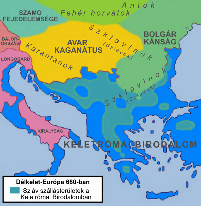
Magyar: Délkelet-Európa 680-ban. |
| Date | |
| Source | File:AtlBalk680.jpg |
| Author | User:Spiridon Ion Cepleanu |
Licensing
[edit]
This file is licensed under the Creative Commons Attribution-Share Alike 3.0 Unported license.
- You are free:
- to share – to copy, distribute and transmit the work
- to remix – to adapt the work
- Under the following conditions:
- attribution – You must give appropriate credit, provide a link to the license, and indicate if changes were made. You may do so in any reasonable manner, but not in any way that suggests the licensor endorses you or your use.
- share alike – If you remix, transform, or build upon the material, you must distribute your contributions under the same or compatible license as the original.
File history
Click on a date/time to view the file as it appeared at that time.
| Date/Time | Thumbnail | Dimensions | User | Comment | |
|---|---|---|---|---|---|
| current | 17:08, 27 May 2022 | | 680 × 699 (389 KB) | Sepultura (talk | contribs) | Fixed. |
| 19:08, 26 May 2022 |  | 680 × 699 (387 KB) | Sepultura (talk | contribs) | Uploaded a work by User:Spiridon Ion Cepleanu from https://commons.wikimedia.org/wiki/File:AtlBalk680.jpg with UploadWizard |
You cannot overwrite this file.
File usage on Commons
The following 2 pages use this file:
File usage on other wikis
The following other wikis use this file:
- Usage on hu.wikipedia.org
Metadata
Categories:
- Maps of the history of the medieval Balkans
- Maps of the Byzantine empire in the 7th century
- Maps showing the 680s
- Maps of 7th-century Bulgaria
- Maps of the history of Romania in the Middle Ages
- Maps of Eurasian Avars
- Avar Khaganate
- Maps of Samo's realm
- French-language maps of Europe
- Romania in the 7th century
- 680 in Romania
- Derivative maps of Putzgers Historischer Schul-Atlas
- Maps of Sclavinia