File:BlankMap-Europe no boundaries.svg
From Wikimedia Commons, the free media repository
Jump to navigation
Jump to search

Size of this PNG preview of this SVG file: 628 × 599 pixels. Other resolutions: 251 × 240 pixels | 503 × 480 pixels | 805 × 768 pixels | 1,073 × 1,024 pixels | 2,145 × 2,048 pixels | 2,291 × 2,187 pixels.
Original file (SVG file, nominally 2,291 × 2,187 pixels, file size: 168 KB)
File information
Structured data
Captions
Captions
Add a one-line explanation of what this file represents
Summary
[edit]| DescriptionBlankMap-Europe no boundaries.svg |
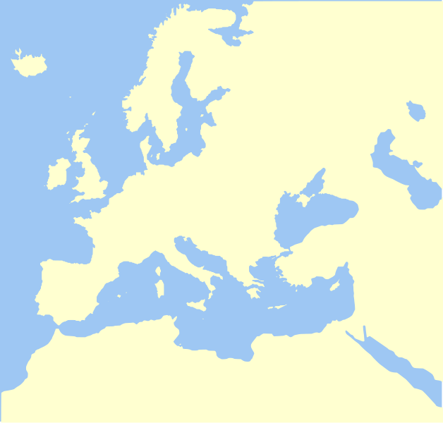
English: A blank map of Europe in SVG format, painted in the suggested colors of the English Wikipedia Map project. |
| Source | No machine-readable source provided. Own work assumed (based on copyright claims). |
| Author | No machine-readable author provided. Madman2001 assumed (based on copyright claims). |
Licensing
[edit]I, the copyright holder of this work, hereby publish it under the following license:

|
Permission is granted to copy, distribute and/or modify this document under the terms of the GNU Free Documentation License, Version 1.2 or any later version published by the Free Software Foundation; with no Invariant Sections, no Front-Cover Texts, and no Back-Cover Texts. A copy of the license is included in the section entitled GNU Free Documentation License.http://www.gnu.org/copyleft/fdl.htmlGFDLGNU Free Documentation Licensetruetrue |
| This file is licensed under the Creative Commons Attribution-Share Alike 3.0 Unported license. | ||
| ||
| This licensing tag was added to this file as part of the GFDL licensing update.http://creativecommons.org/licenses/by-sa/3.0/CC BY-SA 3.0Creative Commons Attribution-Share Alike 3.0truetrue |
derivative works
[edit]Derivative works of this file: Map of the Mediterranean and subdivisions.svg
File history
Click on a date/time to view the file as it appeared at that time.
| Date/Time | Thumbnail | Dimensions | User | Comment | |
|---|---|---|---|---|---|
| current | 02:59, 23 September 2006 |  | 2,291 × 2,187 (168 KB) | Madman2001 (talk | contribs) | A blank map of Europe in SVG format, painted in the [http://en.wikipedia.org/wiki/Wikipedia_talk:WikiProject_Maps#Map_colors suggested colors of the English Wikipedia Map project]. |
You cannot overwrite this file.
File usage on Commons
The following 12 pages use this file:
- Commons:Village pump/Archive/2007/07
- File:Barbastella barbastellus range Map.png
- File:Central europe 9th century-it.svg
- File:Chionomys nivalis range Map.png
- File:Deuxième croisade-it.svg
- File:Egypt 2nd invasion-it.svg
- File:Egypt 3rd invasion-it.svg
- File:Egypt 4th invasion-it.svg
- File:Marcellinus Dalmatia-it.svg
- File:Nyctalus lasiopterus range Map.png
- File:Rupicapra genus range Map.png
- File:Sciurus meridionalis range Map.jpeg
File usage on other wikis
The following other wikis use this file:
- Usage on fr.wikipedia.org
- Usage on ko.wikipedia.org
- 크누트 대왕
- 모스크바 대공국
- 헝가리 왕국
- 한자동맹
- 카를스바트 결의
- 켈트족
- 베틴가
- 스탬퍼드브리지 전투
- 프랑스 2월 혁명
- 창부정치
- 보국단
- 동프랑크 왕국
- 스웨덴-노르웨이
- 틀:토막글/그림/유럽사
- 세비야 조약
- 프란시스코 피사로
- 이탈리아 왕국 (1805년~1814년)
- 네펠스 전투
- 도버 밀약
- 장검의 밤
- 네르친스크 조약
- 이피로스 전제공국
- 켄트 왕국
- 크라쿠프 자유시
- 캐머런 매킨토시
- 모레아 전제공국
- 민주연방 유고슬라비아
- 슈말칼덴 동맹
- 불데트라다
- 다고베르투스 1세
- 클로타리우스 2세
- 카리베르투스 1세
- 니타르두스
- 안길베르투스 켄툴렌시스
- 보기스
- 클로드발드
- 드로고 2세
- 하노버가
- 아이슬란드 왕국
- 테셴 조약
- 파리 조약 (1810년)
- 총신
- 노섬브리아 왕국
- 머시아 왕국
- 에식스 왕국
- 서식스 왕국
- 킬 조약
- 테인
- 보헤미아 왕국
View more global usage of this file.