File:Blank Map of Europe -w boundaries.svg
Jump to navigation
Jump to search

Size of this PNG preview of this SVG file: 713 × 600 pixels. Other resolutions: 285 × 240 pixels | 571 × 480 pixels | 913 × 768 pixels | 1,218 × 1,024 pixels | 2,435 × 2,048 pixels | 2,045 × 1,720 pixels.
Original file (SVG file, nominally 2,045 × 1,720 pixels, file size: 708 KB)
Captions
Captions
Add a one-line explanation of what this file represents
bigland
Summary
[edit]
| Description |
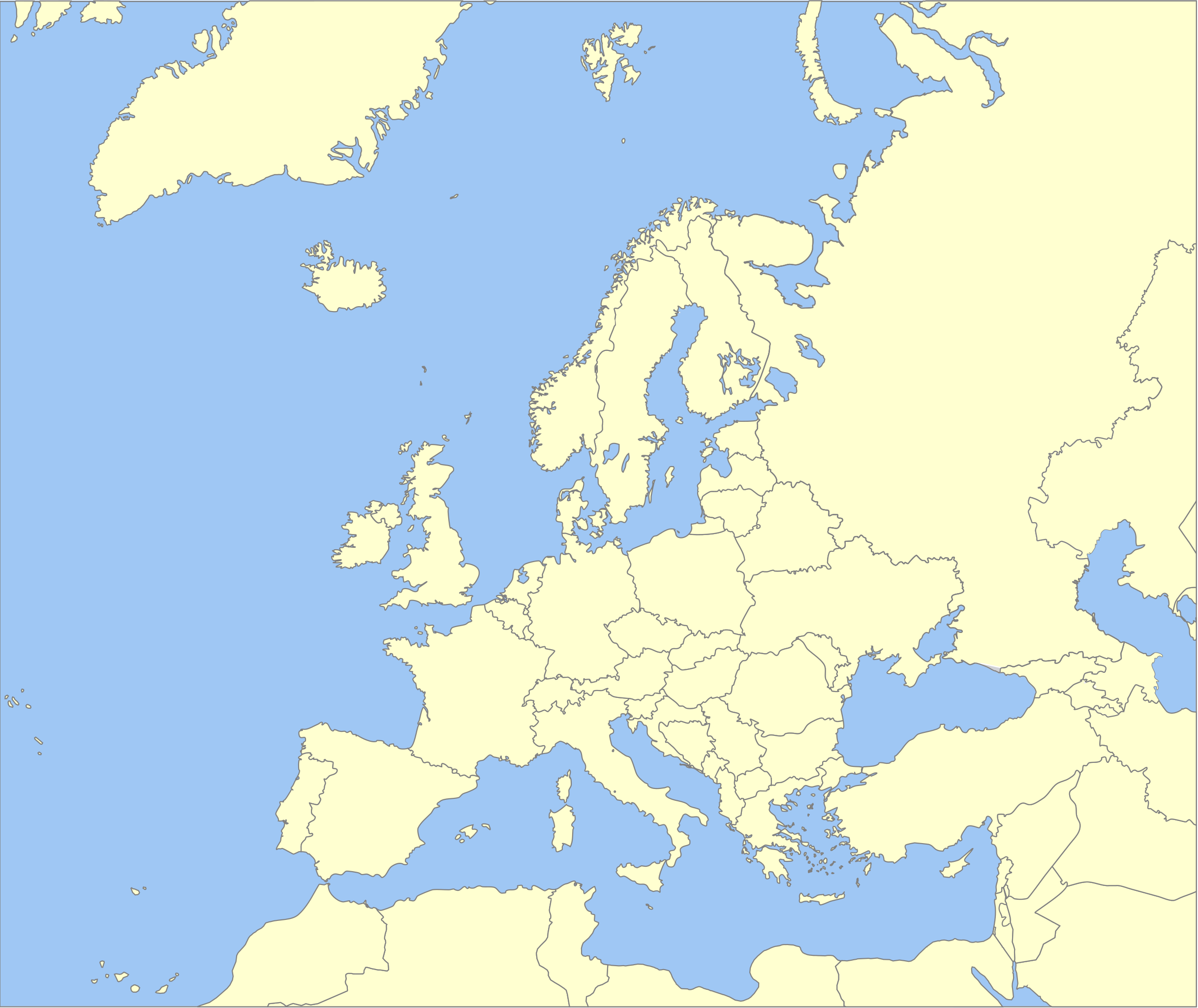
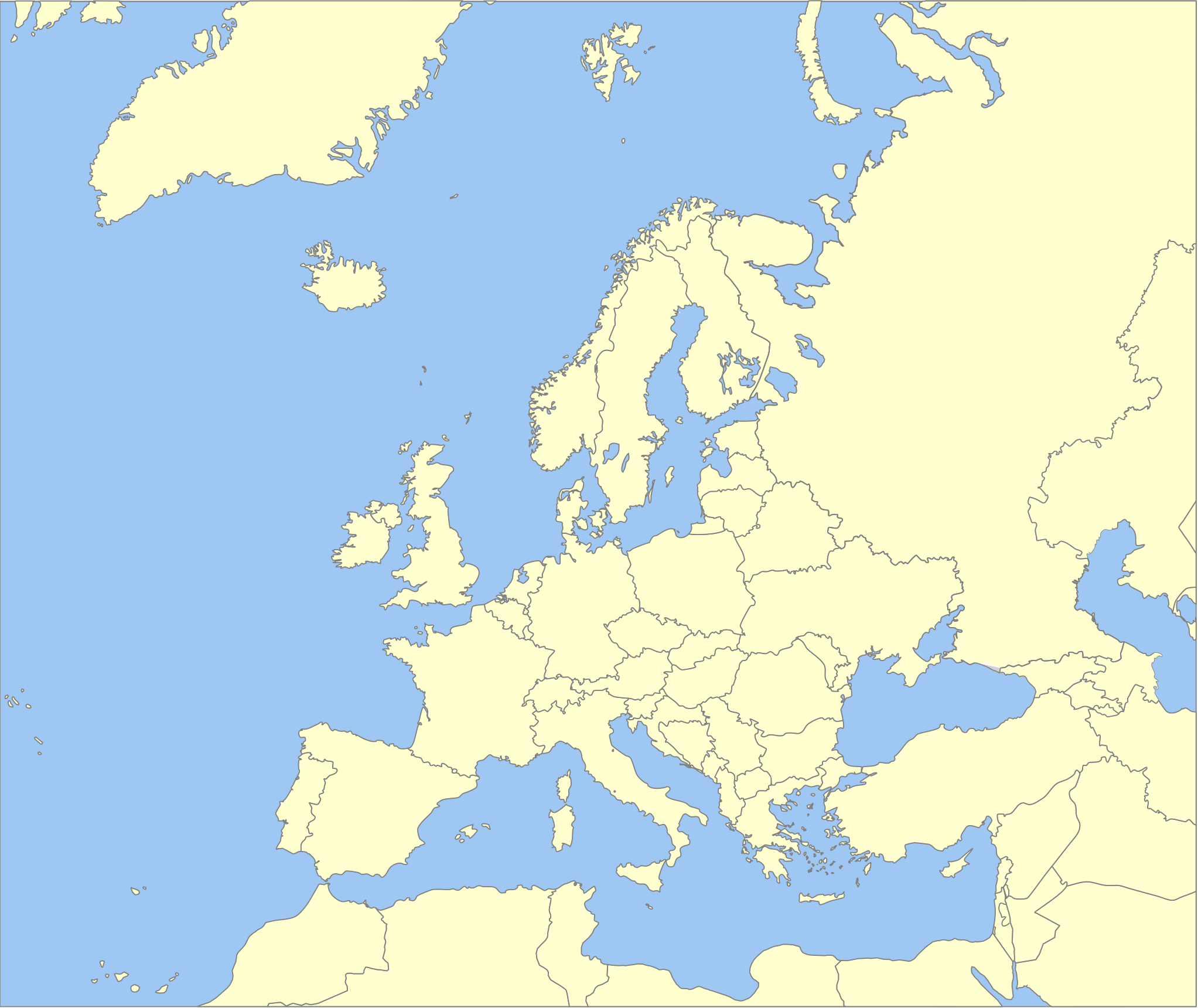
English: A political map of Europe using Wikipedia standard colors in SVG format. Note that the borders represent a second object "grouped" with the outline of Europe. |
| Source | Own work, derived from File:Location European nation states.svg version of 2008-06-12 00:57, which was itself derived from File:Location Spain EU Europe 1.svg. |
| Author | Madman2001 (talk · contribs) |
| Other versions |
Derivative works of this file: |
⧼game-header⧽
[edit]
I, the copyright holder of this work, hereby publish it under the following licenses:

|
Permission is granted to copy, distribute and/or modify this document under the terms of the GNU Free Documentation License, Version 1.2 or any later version published by the Free Software Foundation; with no Invariant Sections, no Front-Cover Texts, and no Back-Cover Texts. A copy of the license is included in the section entitled GNU Free Documentation License. |
| This file is licensed under the Creative Commons Attribution-Share Alike 3.0 Unported license. | ||
| ||
| This licensing tag was added to this file as part of the GFDL licensing update. |
You may select the license of your choice.
File history
Click on a date/time to view the file as it appeared at that time.
| Date/Time | Thumbnail | Dimensions | User | Comment | |
|---|---|---|---|---|---|
| current | 07:59, 11 September 2014 | | 2,045 × 1,720 (708 KB) | Geigle (talk | contribs) | Reverted to version as of 01:33, 19 June 2008 |
| 07:55, 11 September 2014 |  | 744 × 1,052 (356 KB) | Geigle (talk | contribs) | == {{int:filedesc}} == {{Information |Description=RUSSIA NOT RUSSIA |Source={{Derived from|Blank_Map_of_Europe_-w_boundaries.svg|display=50}} |Date=2014-09-11 07:30 (UTC) |Author=|Author=*[[:File:Blank_Map_of_Europe_-w_boundaries.svg|Blank_Map_of_Europ... | |
| 01:33, 19 June 2008 |  | 2,045 × 1,720 (708 KB) | Roke~commonswiki (talk | contribs) | more accurate version derived from Image:Location European nation states.svg using same colours | |
| 23:00, 25 September 2006 |  | 748 × 546 (220 KB) | Madman2001 (talk | contribs) | A blank map of Europe using Wikipedia standard colors in SVG format, based on Image:BlankMap-Europe-v5.png. Note that the borders represent a second object "grouped" with the outline of Europe. |
You cannot overwrite this file.
File usage on Commons
The following 5 pages use this file:
File usage on other wikis
The following other wikis use this file:
- Usage on be.wikipedia.org
- Usage on de.wikipedia.org
- Usage on en.wikipedia.org
- Usage on nl.wikipedia.org
- Usage on nl.wikibooks.org