File:Brazil Political Map.svg
Jump to navigation
Jump to search

Size of this PNG preview of this SVG file: 681 × 600 pixels. Other resolutions: 273 × 240 pixels | 545 × 480 pixels | 872 × 768 pixels | 1,163 × 1,024 pixels | 2,325 × 2,048 pixels | 780 × 687 pixels.
Original file (SVG file, nominally 780 × 687 pixels, file size: 341 KB)
Captions
Captions
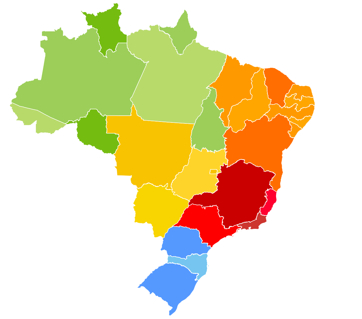
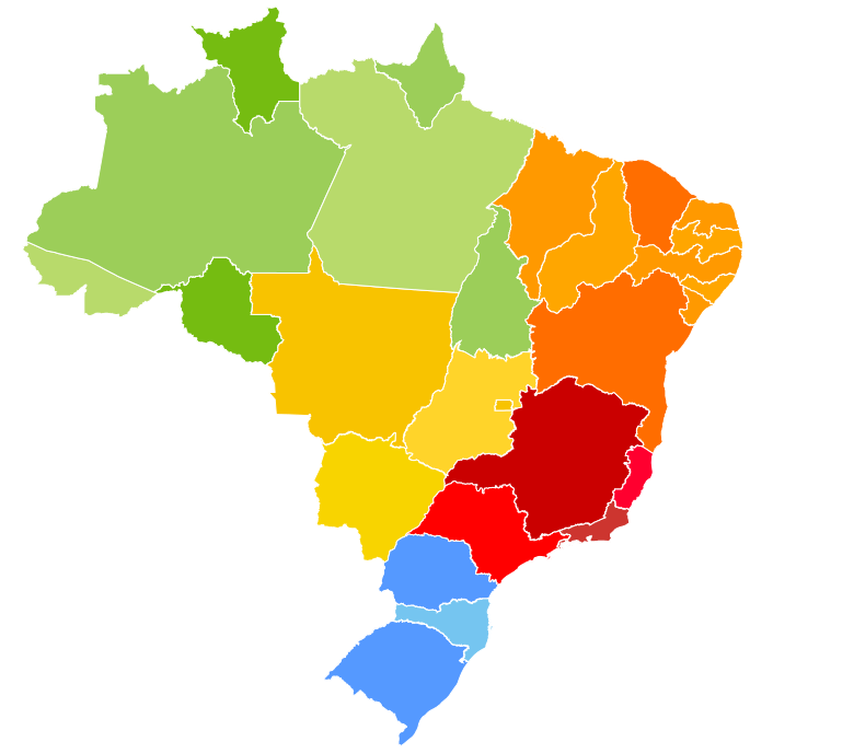
Map of Brazil, colored by geographic region
Summary
[edit]| This image was created / taken by João Felipe C.S. |
| Description |
English: Brazil Political Map.
Português: Mapa Político do Brasil.
This W3C-unspecified vector image was created with Inkscape . |
||||||||
| Date | December 2, 2007 at 00:18 (UTC) | ||||||||
| Source | Own work. (Image:Brazil Labelled Map.svg) | ||||||||
| Author | Felipe Menegaz | ||||||||
| Permission (Reusing this file) |
I, Felipe Menegaz, the copyright holder of this work, hereby publishes it under the following licenses:
This file is licensed under the Creative Commons Attribution-Share Alike 2.5 Generic, 2.0 Generic and 1.0 Generic license. Attribution: I, Felipe Menegaz
You may select the license of your choice. |
||||||||
| Other versions |
|


File history
Click on a date/time to view the file as it appeared at that time.
| Date/Time | Thumbnail | Dimensions | User | Comment | |
|---|---|---|---|---|---|
| current | 00:18, 2 December 2007 | | 780 × 687 (341 KB) | Felipe Menegaz (talk | contribs) | {{User:João Felipe C.S/by}} {{Information |Description= {{en|Brazil Political Map.}} {{pt|Mapa Político do Brasil.}} ---- {{Inkscape}} |Source = Own work. (Image:Brazil Labelled Map.svg) |Date = December 1, 2007 at ~~~~~ |Author |
You cannot overwrite this file.
File usage on Commons
There are no pages that use this file.
File usage on other wikis
The following other wikis use this file:
- Usage on bg.wikipedia.org
- Usage on en.wikipedia.org
- Usage on fa.wikipedia.org
- Usage on it.wikipedia.org
- Usage on pt.wikipedia.org
- Subdivisões do Brasil
- Wikipedia:Projetos/Países/Brasil/Políticas
- Wikipedia Discussão:Projetos/Países/Brasil/Esqueleto para regiões geoeconômicas
- Wikipedia Discussão:Projetos/Países/Brasil/Esqueleto para regiões
- Wikipedia Discussão:Projetos/Países/Brasil/Esqueleto para municípios
- Wikipedia Discussão:Projetos/Países/Brasil/Esqueleto para microrregiões
- Wikipedia Discussão:Projetos/Países/Brasil/Esqueleto para mesorregiões
- Wikipedia Discussão:Projetos/Países/Brasil/Esqueleto para estados
- Wikipedia:Projetos/Países/Brasil/Modelos de navegação
- Wikipedia Discussão:Projetos/Países/Brasil/Esqueleto para regiões metropolitanas
- Predefinição Discussão:Info/Região metropolitana do Brasil
- Predefinição Discussão:Info/Município do Brasil
- Wikipedia:Projetos/Países/Brasil/Discussões
- Wikipedia:Projetos/Países/Brasil/Predefinições
- Wikipedia:Projetos/Países/Brasil/Ferramentas
- Wikipédia:Projetos/Países/Brasil/Colaboração
- Wikipedia:Projetos/Países/Brasil/Adote alguns artigos
- Wikipédia:Projetos/Países/Brasil/Participantes
- Wikipedia:Projetos/Países/Brasil/Progresso
- Wikipedia:Projetos/Países/Brasil/Arquivo
- Portal:Bahia
- Wikipedia:Projetos/Países/Brasil/Pedidos
- Usuário:Cicerohr/Arquivo1
- Wikipedia:Projetos/Países/Brasil/Primeiros passos
- Wikipedia Discussão:Projetos/Países/Brasil/Primeiros passos
- Portal:Bahia/Correlatos
- Portal:Pernambuco
- Wikipedia Discussão:Projetos/Países/Brasil
- Wikipedia Discussão:Projetos/Países/Brasil/Políticas
- Wikipedia Discussão:Projetos/Países/Brasil/Modelos de navegação
- Predefinição:ProjetoBrasil/Navegação
- Wikipedia:Projetos/Países/Brasil/Avaliação
- Wikipedia:Projetos/Países/Brasil/Subprojetos
- Portal:Maranhão
- Predefinição:Mapa político do Brasil
- Wikipedia:Projetos/Países/Brasil/Cidade da Semana
- Wikipedia:Projetos/Países/Brasil/Cidade da Semana/Mapa
- Livro:Unidades federativas do Brasil
- Usuário:Guedes/Não Vandalize a minha cidade!
- Lista de unidades federativas do Brasil por IDH (2000)
- Lista de unidades federativas do Brasil por IDH (2005)
- Predefinição Discussão:Info/Divisão regional do Brasil
- Portal:Pernambuco/Correlatos
- Portal:Maranhão/Correlatos
View more global usage of this file.