File:Bt-map-ja.png
Jump to navigation
Jump to search
No higher resolution available.
Bt-map-ja.png (330 × 355 pixels, file size: 23 KB, MIME type: image/png)
Captions
Captions
Add a one-line explanation of what this file represents
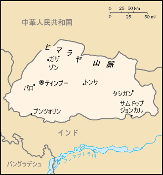
Bhutan archive copy at the Wayback Machineより日本語化。(The Japanese meaning from Bhutan archive copy at the Wayback Machine)
CIA World Factbookより作成。(From CIA World Factbook compilation.)
2007年6月24日(24 June 2007)
斎東小世(Saito Chise)
This image is in the public domain because it contains materials that originally came from the United States Central Intelligence Agency's World Factbook.
|
 |
File history
Click on a date/time to view the file as it appeared at that time.
| Date/Time | Thumbnail | Dimensions | User | Comment | |
|---|---|---|---|---|---|
| current | 05:18, 24 June 2007 | | 330 × 355 (23 KB) | 斎東小世 (talk | contribs) | {{Information |Description=[https://www.cia.gov/library/publications/the-world-factbook/geos/bt.html Bhutan]より日本語化。(The Japanese meaning from [https://www.cia.gov/library/publications/the-world-factbook/geos/bt.html Bhutan]) |Source=CIA |
You cannot overwrite this file.
File usage on Commons
The following page uses this file:
File usage on other wikis
The following other wikis use this file:
- Usage on ja.wikipedia.org