File:Buurtwegen - Oostkerke Diksmuide.jpg
Jump to navigation
Jump to search
Size of this preview: 800 × 582 pixels. Other resolutions: 320 × 233 pixels | 640 × 466 pixels | 845 × 615 pixels.
Original file (845 × 615 pixels, file size: 86 KB, MIME type: image/jpeg)
Captions
Captions
Add a one-line explanation of what this file represents
| Open this image as an overlay in Google Earth (Google Maps, Bing) | (Help|Source) |
| Description |
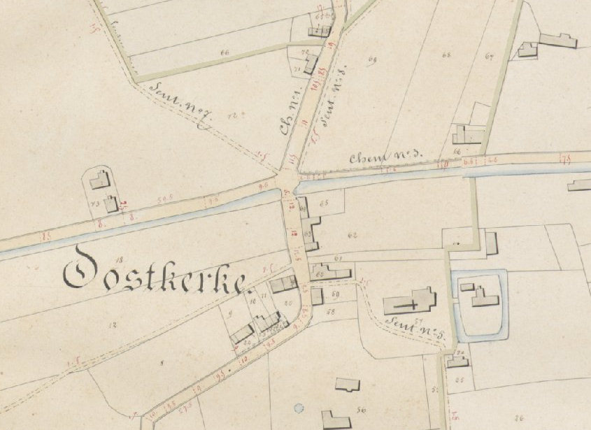
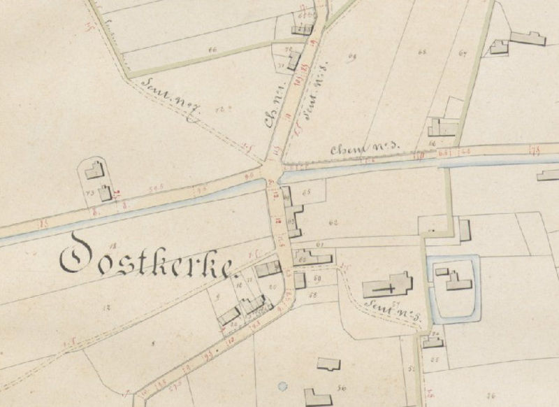
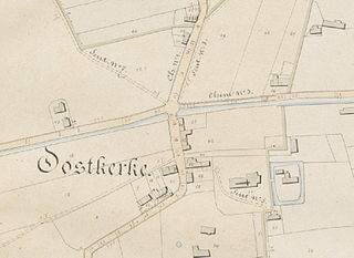
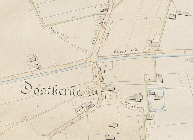
Nederlands: Uittreksel uit de Atlas der Buurtwegen (1841) met het vroegere dorpscentrum van Oostkerke. English: Extract from the "Atlas der Buurtwegen" / "Atlas des chemins vicinaux" (1841) with the former village center of Oostkerke. Oostkerke, Diksmuide, West Flanders, Belgium |
||||
| Date | |||||
| Source | Atlas der Buurtwegen | ||||
| Author | Unknown author | ||||
| Permission (Reusing this file) |
|
||||
File history
Click on a date/time to view the file as it appeared at that time.
| Date/Time | Thumbnail | Dimensions | User | Comment | |
|---|---|---|---|---|---|
| current | 20:09, 13 March 2008 | | 845 × 615 (86 KB) | LimoWreck (talk | contribs) | {{Information |Description={{nl}}Uittreksel uit de Atlas der Buurtwegen (1841) met het vroegere dorpscentrum van Oostkerke.<br/>{{en}}Extract from the "Atlas der Buurtwegen" / "Atlas des chemins vicinaux" (1841) with the former village center of Oostkerke |
You cannot overwrite this file.
File usage on Commons
There are no pages that use this file.
File usage on other wikis
The following other wikis use this file:
- Usage on nl.wikipedia.org