File:Côte-Nord topo.png
Jump to navigation
Jump to search
No higher resolution available.
Côte-Nord_topo.png (500 × 583 pixels, file size: 543 KB, MIME type: image/png)
Captions
Captions
Add a one-line explanation of what this file represents
Summary
[edit]
| Description |
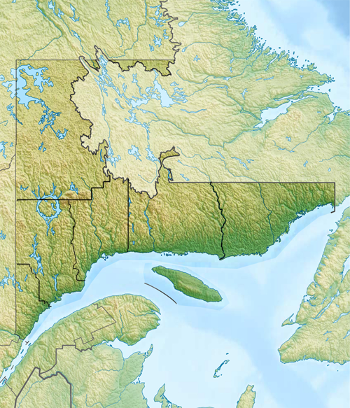
Français : Carte topographique de la région administrative de la Côte-Nord. |
| Date | |
| Source |
 |
| Author | user:Carport |
Licensing
[edit]
This file is licensed under the Creative Commons Attribution-Share Alike 4.0 International license.
- You are free:
- to share – to copy, distribute and transmit the work
- to remix – to adapt the work
- Under the following conditions:
- attribution – You must give appropriate credit, provide a link to the license, and indicate if changes were made. You may do so in any reasonable manner, but not in any way that suggests the licensor endorses you or your use.
- share alike – If you remix, transform, or build upon the material, you must distribute your contributions under the same or compatible license as the original.
File history
Click on a date/time to view the file as it appeared at that time.
| Date/Time | Thumbnail | Dimensions | User | Comment | |
|---|---|---|---|---|---|
| current | 21:40, 17 October 2018 | | 500 × 583 (543 KB) | YanikB (talk | contribs) | +MRC borders |
| 22:40, 10 July 2018 |  | 500 × 583 (542 KB) | YanikB (talk | contribs) | User created page with UploadWizard |
You cannot overwrite this file.
File usage on Commons
There are no pages that use this file.
File usage on other wikis
The following other wikis use this file:
- Usage on fr.wikipedia.org
- Maliotenam
- Lac Barbel
- Lac-John
- Matimekosh
- Mingan
- Clarke City
- Centre Sportif Alcoa
- Réservoir Manicouagan
- Aréna Conrad-Parent
- Aréna Guy-Carbonneau
- Centrale Bersimis-1
- Abbadie (canton)
- Beaudoin (canton)
- La Tabatière
- Portail:Côte-Nord
- Archipel-du-Gros-Mécatina
- Archipel-du-Petit-Mécatina
- Modèle:Carte/Côte-Nord
- Portail:Côte-Nord/Carte
- Archipel des Sept Îles (Québec)
- Aéroport de La Tabatière
- Lac Septembre
- Aéroport de Schefferville
- Modèle:Géolocalisation/Côte-Nord
- Lac du Picotin
- Lac des Sables (rivière des Petites Bergeronnes)
- Lac du Sault aux Cochons
- Lac Kakuskanus
- Lac Dubuc (rivière Lionnet)
- Lac Lessard (rivière Lessard)
- Lac aux Sauterelles
- Lac de l'Abbé-Huard
- Lac Simard (Petit-Mécatina)
- Lac Franquelin
- Lac Charpeney
- Charpeney (canton)
- Lac Delaunay
- Lac Nipisso
- Lac des Eudistes
- Organisme de bassins versants Duplessis
- Lac Sainte-Anne (Toulnustouc)
- Lac Manitou (Lac-Jérôme)
- Lac Wickenden
- Centrale de la Sainte-Marguerite-1
- Centrale de la Sainte-Marguerite-2
- Dunes de Tadoussac