File:Canada New Brunswick location map.svg
Jump to navigation
Jump to search

Size of this PNG preview of this SVG file: 609 × 599 pixels. Other resolutions: 244 × 240 pixels | 488 × 480 pixels | 781 × 768 pixels | 1,041 × 1,024 pixels | 2,082 × 2,048 pixels | 1,411 × 1,388 pixels.
Original file (SVG file, nominally 1,411 × 1,388 pixels, file size: 500 KB)
Captions
Captions
Add a one-line explanation of what this file represents
Summary
[edit]
| Description |
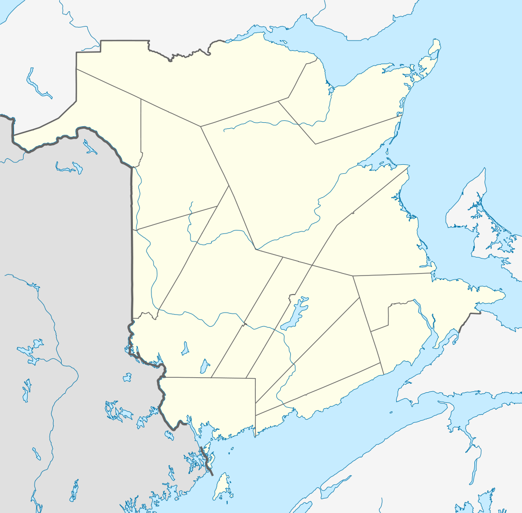
Quadratische Plattkarte, N-S-Streckung 145 %. Geographische Begrenzung der Karte:
Equirectangular projection, N/S stretching 145 %. Geographic limits of the map:
|
| Date | |
| Source |
Own work, using
|
| Author | NordNordWest |
| Permission (Reusing this file) |
I, the copyright holder of this work, hereby publish it under the following license: This file is licensed under the Creative Commons Attribution-Share Alike 3.0 Unported license.
|
| Other versions |
Derivative works of this file: |

|
This map has been made or improved in the German Kartenwerkstatt (Map Lab). You can propose maps to improve as well.
|
File history
Click on a date/time to view the file as it appeared at that time.
| Date/Time | Thumbnail | Dimensions | User | Comment | |
|---|---|---|---|---|---|
| current | 14:04, 28 September 2009 | | 1,411 × 1,388 (500 KB) | NordNordWest (talk | contribs) | |
| 17:55, 25 August 2009 |  | 1,411 × 1,388 (495 KB) | NordNordWest (talk | contribs) | {{int:filedesc}} {{Information |Description= {{de|Positionskarte von New Brunswick, Kanada}} Quadratische Plattkarte, N-S-Streckung 145 %. Geographische Begrenzung der Karte: * N: 48.3° N * S: 44.5° N * W: 69.2° W * |
You cannot overwrite this file.
File usage on Commons
The following 20 pages use this file:
- User:NordNordWest/Gallery/Location maps
- File:Map of New Brunswick highlighting Albert County.png
- File:Map of New Brunswick highlighting Carleton County.png
- File:Map of New Brunswick highlighting Charlotte County.png
- File:Map of New Brunswick highlighting Gloucester County.png
- File:Map of New Brunswick highlighting Kent County.png
- File:Map of New Brunswick highlighting Kings County.png
- File:Map of New Brunswick highlighting Madawaska County.png
- File:Map of New Brunswick highlighting Northumberland County.png
- File:Map of New Brunswick highlighting Queens County.png
- File:Map of New Brunswick highlighting Restigouche County.png
- File:Map of New Brunswick highlighting Saint John County.png
- File:Map of New Brunswick highlighting Sunbury County.png
- File:Map of New Brunswick highlighting Victoria County.png
- File:Map of New Brunswick highlighting Westmorland County.png
- File:New Brunswick general election, 1974 results by riding.svg
- File:New Brunswick general election, 1982 results by riding.svg
- File:New Brunswick general election, 1991 results by riding.svg
- File:New Brunswick general election 1978 - Results by Riding.svg
- File:New Brunswick general election 1987 - Results by Riding.svg
File usage on other wikis
The following other wikis use this file:
- Usage on ar.wikipedia.org
- Usage on ba.wikipedia.org
- Usage on cs.wikipedia.org
- Usage on de.wikipedia.org
- Saint John (New Brunswick)
- Moncton
- Akadische Halbinsel
- Rothesay (New Brunswick)
- New Maryland
- Kernkraftwerk Point Lepreau
- Mount Carleton
- Dieppe (New Brunswick)
- Deer Island (New Brunswick)
- Campobello Island
- Mulholland Point Lighthouse
- Edmundston
- Wikipedia:Kartenwerkstatt/Positionskarten/Nordamerika
- Hartland (New Brunswick)
- Hartland Bridge
- Moncton Coliseum
- Vorlage:Positionskarte Kanada New Brunswick
- Sussex (New Brunswick)
- Bathurst (New Brunswick)
- TD Station
- K. C. Irving Regional Centre
- Harvey Station
- Saint-Léonard (New Brunswick)
- Grand Manan Island
- Campbellton (New Brunswick)
- Shediac
- Miramichi
- Chatham (New Brunswick)
- Moncton Stadium
- Dalhousie (New Brunswick)
- Minto (New Brunswick)
- Rogersville (New Brunswick)
- Belledune
- Escuminac (New Brunswick)
- Blackville (New Brunswick)
- Doaktown
- Richibucto
- Bouctouche
- Augustine Mound
- Hopewell Cape
- Hillsborough (New Brunswick)
- Neguac
- Florenceville-Bristol
- Oromocto
- Saint-Quentin (New Brunswick)
- Grand Falls (New Brunswick)
- Plaster Rock
View more global usage of this file.