File:Canada Southern Ontario location map 2.png
Jump to navigation
Jump to search
Size of this preview: 800 × 577 pixels. Other resolutions: 320 × 231 pixels | 640 × 462 pixels | 994 × 717 pixels.
Original file (994 × 717 pixels, file size: 296 KB, MIME type: image/png)
Captions
Captions
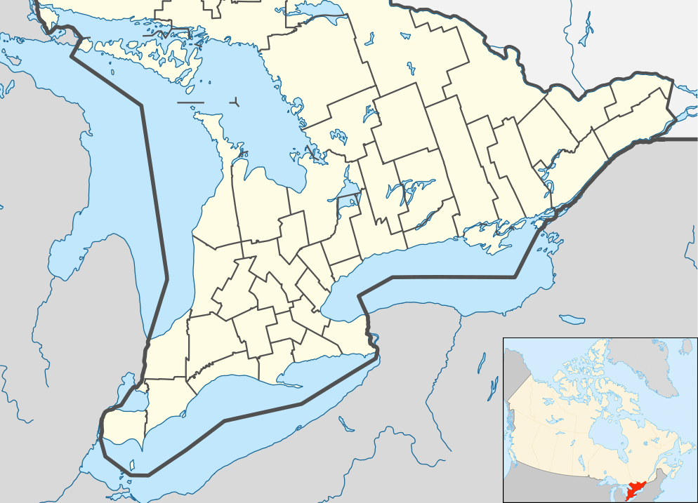
Southern Ontario
Summary
[edit]| Description |
English: Location map of Southern Ontario, Canada.
Equirectangular projection, N/S stretching 155%. Geographic limits of the map:
Русский: Южная Онтарио
Українська: Південне Онтаріо |
| Date | |
| Source | File:Canada Ontario location map 2.svg |
| Author | User:NordNordWest |
| Other versions |
|


Licensing
[edit]
I, the copyright holder of this work, hereby publish it under the following license:
This file is licensed under the Creative Commons Attribution-Share Alike 3.0 Unported license.
- You are free:
- to share – to copy, distribute and transmit the work
- to remix – to adapt the work
- Under the following conditions:
- attribution – You must give appropriate credit, provide a link to the license, and indicate if changes were made. You may do so in any reasonable manner, but not in any way that suggests the licensor endorses you or your use.
- share alike – If you remix, transform, or build upon the material, you must distribute your contributions under the same or compatible license as the original.
File history
Click on a date/time to view the file as it appeared at that time.
| Date/Time | Thumbnail | Dimensions | User | Comment | |
|---|---|---|---|---|---|
| current | 05:47, 20 July 2012 | | 994 × 717 (296 KB) | 117Avenue (talk | contribs) | slight fix |
| 05:43, 20 July 2012 |  | 994 × 717 (296 KB) | 117Avenue (talk | contribs) | {{Information |Description ={{en|1=Location map of Southern Ontario, Canada. Equirectangular projection, N/S stretching 155%. Geographic limits of the map: * N: 46.4° N * S: 41.4° N * W: 84.7° W * E: 74.0°... |
You cannot overwrite this file.
File usage on Commons
The following 3 pages use this file:
File usage on other wikis
The following other wikis use this file:
- Usage on ar.wikipedia.org
- Usage on azb.wikipedia.org
- Usage on ban.wikipedia.org
- Usage on bn.wikipedia.org
- Usage on bs.wikipedia.org
- Usage on ceb.wikipedia.org
- Usage on ckb.wikipedia.org
- Usage on cs.wikipedia.org
- Usage on en.wikipedia.org
- Bay of Quinte
- Hamilton, Ontario
- Ottawa
- Windsor, Ontario
- Niagara Falls
- Waterloo, Ontario
- Sarnia
- Perth, Ontario
- Kitchener, Ontario
- Point Pelee National Park
- Kingston, Ontario
- Brampton
- Caledon, Ontario
- Prescott, Ontario
- Leamington, Ontario
- Cornwall, Ontario
- Guelph
- Aurora, Ontario
- Barrie
- Belleville, Ontario
- Brantford
- Brockville
- Burlington, Ontario
- Cambridge, Ontario
- Lindsay, Ontario
- Markham, Ontario
View more global usage of this file.