File:Canada Southern Ontario relief location map.jpg
Jump to navigation
Jump to search
Size of this preview: 800 × 577 pixels. Other resolutions: 320 × 231 pixels | 640 × 461 pixels | 1,043 × 752 pixels.
Original file (1,043 × 752 pixels, file size: 231 KB, MIME type: image/jpeg)
Captions
Captions
Add a one-line explanation of what this file represents
Summary
[edit]| Description |
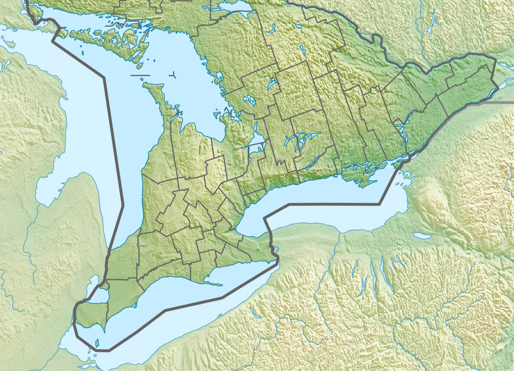
English: Physical location map of Ontario, Canada
Equirectangular projection, N/S stretching 155 %. Geographic limits of the map:
Русский: Южная Онтарио
Українська: Південне Онтаріо |
| Date | |
| Source | File:Canada Ontario relief location map.jpg |
| Author | User:NordNordWest |
| Other versions |
|


Licensing
[edit]
I, the copyright holder of this work, hereby publish it under the following license:
This file is licensed under the Creative Commons Attribution-Share Alike 3.0 Unported license.
- You are free:
- to share – to copy, distribute and transmit the work
- to remix – to adapt the work
- Under the following conditions:
- attribution – You must give appropriate credit, provide a link to the license, and indicate if changes were made. You may do so in any reasonable manner, but not in any way that suggests the licensor endorses you or your use.
- share alike – If you remix, transform, or build upon the material, you must distribute your contributions under the same or compatible license as the original.
File history
Click on a date/time to view the file as it appeared at that time.
| Date/Time | Thumbnail | Dimensions | User | Comment | |
|---|---|---|---|---|---|
| current | 03:10, 25 June 2014 | | 1,043 × 752 (231 KB) | 117Avenue (talk | contribs) | == {{int:filedesc}} == {{Information |Description= {{en|Physical location map of Ontario, Canada Equirectangular projection, N/S stretching 155 %. Geographic limits of the map: * N: 46.4° N * S: 41.4° N * W: 84.7° W *... |
You cannot overwrite this file.
File usage on Commons
The following 4 pages use this file:
File usage on other wikis
The following other wikis use this file:
- Usage on ban.wikipedia.org
- Usage on bn.wikipedia.org
- Usage on bs.wikipedia.org
- Usage on ceb.wikipedia.org
- Usage on ckb.wikipedia.org
- Usage on de.wikipedia.org
- Usage on en.wikipedia.org
- Niagara River
- Avon River (Ontario)
- Mississauga
- Bruce Peninsula National Park
- Thousand Islands National Park
- York, Upper Canada
- Lake Simcoe
- Ganaraska River
- Malton, Mississauga
- Central Canada
- Madawaska River (Ontario)
- Mississippi River (Ontario)
- Indian River (Lanark County)
- York River (Ontario)
- Nottawasaga River
- Raisin River (Ontario)
- Otonabee River
- Fathom Five National Marine Park
- South Nation River
- Nith River
- Bighead River
- Fall River (Ontario)
- Rice Lake (Ontario)
- Moira River
- Gananoque River
- Napanee River
- Lake Scugog
- Scugog River
- Lake Couchiching
- Talbot River (Ontario)
- Bonnechere River
- Opeongo River
- Opeongo Lake
- Kawartha Highlands Provincial Park
- Barron River (Ontario)
- Amable du Fond River
- Skootamatta River
- Sauble River (Ontario)
- Rankin River
- Georgian Bay Islands National Park
View more global usage of this file.