File:Carte Kazakhstan.png
Jump to navigation
Jump to search
No higher resolution available.
Carte_Kazakhstan.png (659 × 338 pixels, file size: 97 KB, MIME type: image/png)
Captions
Captions
New name of Astana
| Description |
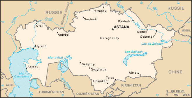
English: Map of Kazakhstan translated into French.
Français : Carte du Kazakhstan traduite en français. |
|||
| Date | ||||
| Source | the World Fact Book, CIA, US | |||
| Author | Later modified in may 2007 by Philippe Verdy (verdy_p) to add the missing important "Oural" river and Mountains and some cities that delimit the traditional border between Europe and Asia. | |||
| Permission (Reusing this file) |
|
|||
| Other versions |
|


File history
Click on a date/time to view the file as it appeared at that time.
| Date/Time | Thumbnail | Dimensions | User | Comment | |
|---|---|---|---|---|---|
| current | 06:19, 11 May 2007 | | 659 × 338 (97 KB) | Verdy p (talk | contribs) | border cleanup |
| 05:52, 11 May 2007 |  | 659 × 336 (54 KB) | Verdy p (talk | contribs) | remove the unexpected additional transparent area at bottom | |
| 05:49, 11 May 2007 |  | 659 × 585 (55 KB) | Verdy p (talk | contribs) | Ajoute le fleuve Oural (et les Monts Oural en Russie) qui sont la frontière traditionnellede l'Europe. | |
| 22:58, 7 January 2006 |  | 659 × 338 (28 KB) | Nécropotame~commonswiki (talk | contribs) | From the World Fact Book |
You cannot overwrite this file.
File usage on Commons
The following page uses this file:
File usage on other wikis
The following other wikis use this file:
- Usage on ar.wikipedia.org
- Usage on de.wikinews.org
- Usage on fr.wikipedia.org
- Usage on mk.wikipedia.org
- Usage on nl.wikinews.org
- Usage on pcd.wikipedia.org
- Usage on pt.wikipedia.org
- Usage on sr.wikipedia.org