File:Caucasus central asia political map 2000.jpg
Jump to navigation
Jump to search
Size of this preview: 800 × 596 pixels. Other resolutions: 320 × 239 pixels | 640 × 477 pixels | 1,024 × 763 pixels | 1,280 × 954 pixels | 1,390 × 1,036 pixels.
Original file (1,390 × 1,036 pixels, file size: 164 KB, MIME type: image/jpeg)
Captions
Captions
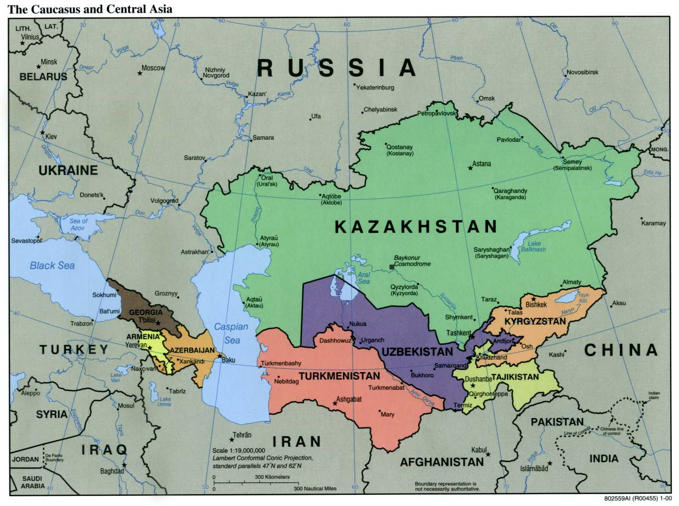
Political map of Central Asia together with the countries in the Caucasus.
| Description | Political Map of the Caucasus and Central Asia | ||||||
| Source | http://ftp.lib.utexas.edu/maps/kazakhstan.html (CIA-Scans) | ||||||
| Author | CIA | ||||||
| Permission (Reusing this file) |
|
||||||
| Other versions | Derivative works of this file: Central Asia - political map.svg | ||||||

File history
Click on a date/time to view the file as it appeared at that time.
| Date/Time | Thumbnail | Dimensions | User | Comment | |
|---|---|---|---|---|---|
| current | 01:20, 9 November 2004 | | 1,390 × 1,036 (164 KB) | Annalog~commonswiki (talk | contribs) | The Caucasus and Central Asia Political Map 2000 |
You cannot overwrite this file.
File usage on Commons
The following 3 pages use this file:
File usage on other wikis
The following other wikis use this file:
- Usage on en.wikipedia.org
- Usage on fa.wikipedia.org
- Usage on id.wikipedia.org
- Usage on ro.wikipedia.org
- Usage on te.wikipedia.org
- Usage on th.wikipedia.org
- Usage on tl.wikipedia.org