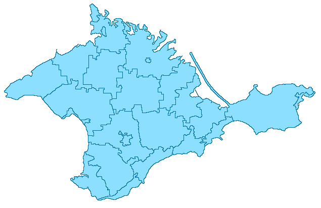
File:Crimea locator map.png
Jump to navigation
Jump to search
No higher resolution available.
Crimea_locator_map.png (635 × 412 pixels, file size: 17 KB, MIME type: image/png)
Captions
Captions
Add a one-line explanation of what this file represents
Licensing
[edit]

|
File:Crimea location map.svg is a vector version of this file. It should be used in place of this PNG file when not inferior.
File:Crimea locator map.png → File:Crimea location map.svg
For more information, see Help:SVG. |
 |
| This work has been released into the public domain by its author, Alessandro. This applies worldwide. In some countries this may not be legally possible; if so: |
File history
Click on a date/time to view the file as it appeared at that time.
| Date/Time | Thumbnail | Dimensions | User | Comment | |
|---|---|---|---|---|---|
| current | 08:12, 25 May 2007 | | 635 × 412 (17 KB) | Don Alessandro (talk | contribs) | == Licensing == {{PD-user|Alessandro}} Category:Maps of Crimea |
You cannot overwrite this file.
File usage on Commons
There are no pages that use this file.
File usage on other wikis
The following other wikis use this file:
- Usage on de.wikipedia.org
- Usage on ru.wikipedia.org
- Usage on sv.wikipedia.org
- Usage on tt.wikipedia.org
- Usage on vi.wikipedia.org