File:Estonia location map (divided).svg
Jump to navigation
Jump to search

Size of this PNG preview of this SVG file: 718 × 600 pixels. Other resolutions: 287 × 240 pixels | 575 × 480 pixels | 920 × 768 pixels | 1,226 × 1,024 pixels | 2,452 × 2,048 pixels | 1,668 × 1,393 pixels.
Original file (SVG file, nominally 1,668 × 1,393 pixels, file size: 341 KB)
Captions
Captions
Add a one-line explanation of what this file represents
| Description |
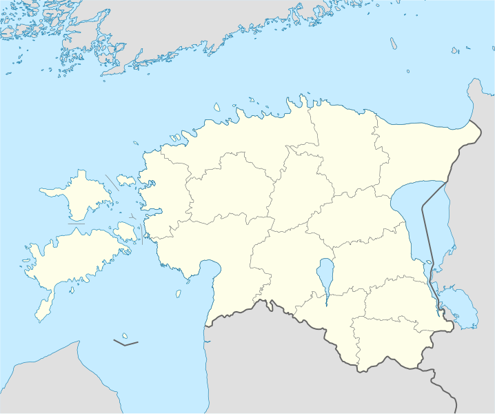
Deutsch: Positionskarte von Estland Quadratische Plattkarte, N-S-Streckung 180 %. Geographische Begrenzung der Karte: * N: 60.4° N * S: 57.2° N * W: 21.5° O * O: 28.4° O English: Location map of Estonia Equirectangular projection, N/S stretching 180 %. Geographic limits of the map: * N: 60.4° N * S: 57.2° N * W: 21.5° E * E: 28.4° E |
||
| Date | (UTC) | ||
| Source | |||
| Author |
|
||
| SVG development | This locator map was created with Adobe Illustrator.
|

I, the copyright holder of this work, hereby publish it under the following licenses:
This file is licensed under the Creative Commons Attribution-Share Alike 3.0 Unported license.
- You are free:
- to share – to copy, distribute and transmit the work
- to remix – to adapt the work
- Under the following conditions:
- attribution – You must give appropriate credit, provide a link to the license, and indicate if changes were made. You may do so in any reasonable manner, but not in any way that suggests the licensor endorses you or your use.
- share alike – If you remix, transform, or build upon the material, you must distribute your contributions under the same or compatible license as the original.

|
Permission is granted to copy, distribute and/or modify this document under the terms of the GNU Free Documentation License, Version 1.2 or any later version published by the Free Software Foundation; with no Invariant Sections, no Front-Cover Texts, and no Back-Cover Texts. A copy of the license is included in the section entitled GNU Free Documentation License. |
You may select the license of your choice.
Original upload log
[edit].svg&action=edit§ion=1)
This image is a derivative work of the following images:
- File:Estonia_location_map.svg licensed with Cc-by-sa-3.0, GFDL
- 2009-05-09T20:05:07Z NordNordWest 1668x1393 (475448 Bytes) some troubles with changing location maps that way
- 2009-05-09T17:18:13Z Ahnode 1000x835 (654447 Bytes) *1. Resized the objects to W:1000px, H:835px. *2. Created two separate layers for Estonia itself and the rest of the world. *3. Subtracted lakes from shape areas and divided area of Estonia into counties to ease future creati
- 2008-08-25T19:03:50Z NordNordWest 1668x1393 (475448 Bytes) size correction
- 2008-07-07T14:11:24Z NordNordWest 556x464 (478238 Bytes)
- 2008-06-29T14:25:19Z NordNordWest 556x464 (478770 Bytes) {{Information |Description= {{de|Positionskarte von [[:de:Estland|Estland]]}} Quadratische Plattkarte, N-S-Streckung 180 %. Geographische Begrenzung der Karte: * N: 60.4° N * S: 57.2° N * W: 21.5° O * O: 28.4° O {{en|Loca
File history
Click on a date/time to view the file as it appeared at that time.
| Date/Time | Thumbnail | Dimensions | User | Comment | |
|---|---|---|---|---|---|
| current | 12:54, 16 April 2018 | | 1,668 × 1,393 (341 KB) | Sarang (talk | contribs) | PGF removed // Editing SVG source code using User:Rillke/SVGedit.js; upload handled by User:Rillke/MwJSBot.js |
| 21:03, 9 May 2009 |  | 1,668 × 1,393 (628 KB) | Ahnode (talk | contribs) | {{Information |Description={{de|Positionskarte von Estland}} Quadratische Plattkarte, N-S-Streckung 180 %. Geographische Begrenzung der Karte: * N: 60.4° N * S: 57.2° N * W: 21.5° O * O: 28.4° O {{en|Location map of [[:en:Estonia|Eston |
You cannot overwrite this file.
File usage on Commons
There are no pages that use this file.
.svg&oldid=499647753)