File:Eurasian steppe belt.jpg
Jump to navigation
Jump to search
Size of this preview: 800 × 597 pixels. Other resolutions: 320 × 239 pixels | 640 × 478 pixels | 1,024 × 765 pixels | 1,280 × 956 pixels | 2,048 × 1,529 pixels.
Original file (2,048 × 1,529 pixels, file size: 1.62 MB, MIME type: image/jpeg)
Captions
Captions
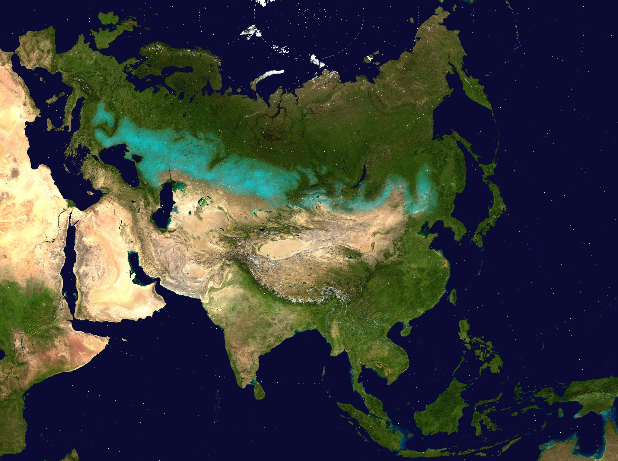
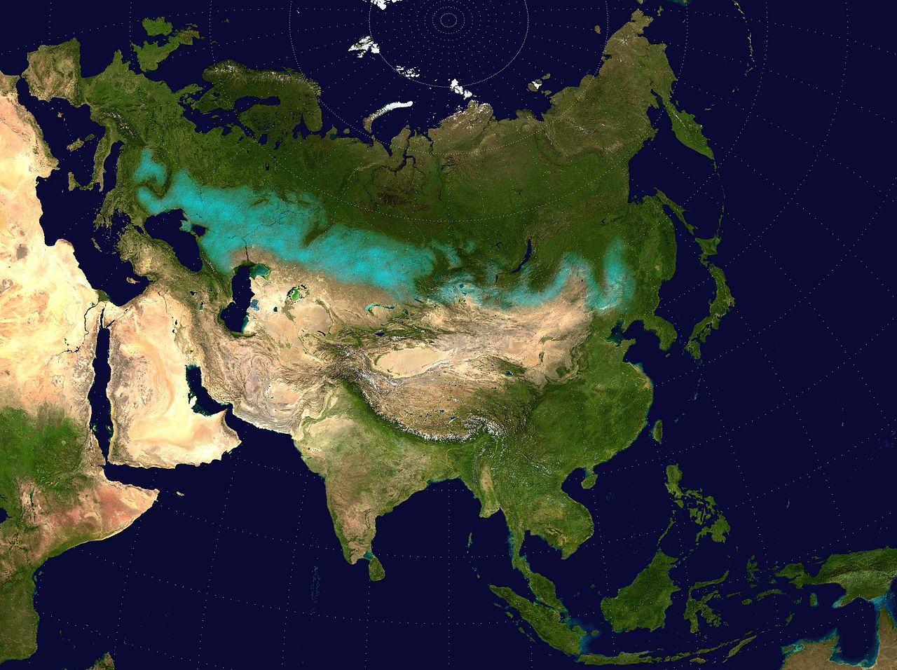
Approximate extent of the Eurasian Steppe grasslands ecoregion, and Eurasia cultural region
Summary
[edit]
| Description |
English: Approximate extent of the Eurasian Steppe grasslands ecoregion, and Eurasia cultural region.
|
| Date | (UTC) |
| Source | |
| Author |
|
| Permission (Reusing this file) |
Source map released into public domain. |
| This is a retouched picture, which means that it has been digitally altered from its original version. Modifications: Eurasian Steppe highlighted in ; areas of Caspian Sea and Lake Balkhash converted to to avoid confusion; image cropped.. The original can be viewed here: Two-point-equidistant-asia.jpg:
|
Licensing
[edit]
I, the copyright holder of this work, hereby publish it under the following license:
| I, the copyright holder of this work, release this work into the public domain. This applies worldwide. In some countries this may not be legally possible; if so: I grant anyone the right to use this work for any purpose, without any conditions, unless such conditions are required by law. |
File history
Click on a date/time to view the file as it appeared at that time.
| Date/Time | Thumbnail | Dimensions | User | Comment | |
|---|---|---|---|---|---|
| current | 17:24, 6 April 2017 | | 2,048 × 1,529 (1.62 MB) | Clivius (talk | contribs) | The area was adjusted in accordance with the actual geographic location. |
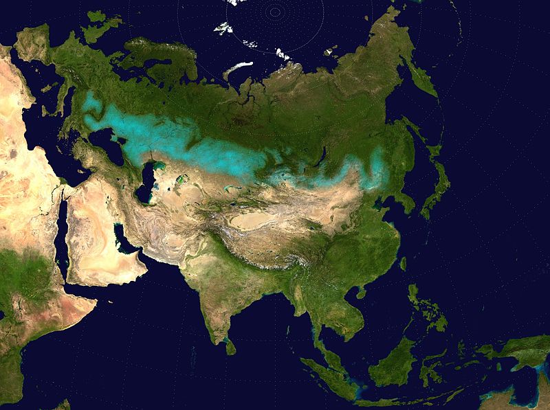
| 00:48, 10 June 2016 |  | 1,640 × 1,320 (296 KB) | Shattered Gnome (talk | contribs) | New coloration of source image; DarkPink highlight is now Cyan. Somewhat cropped. | |
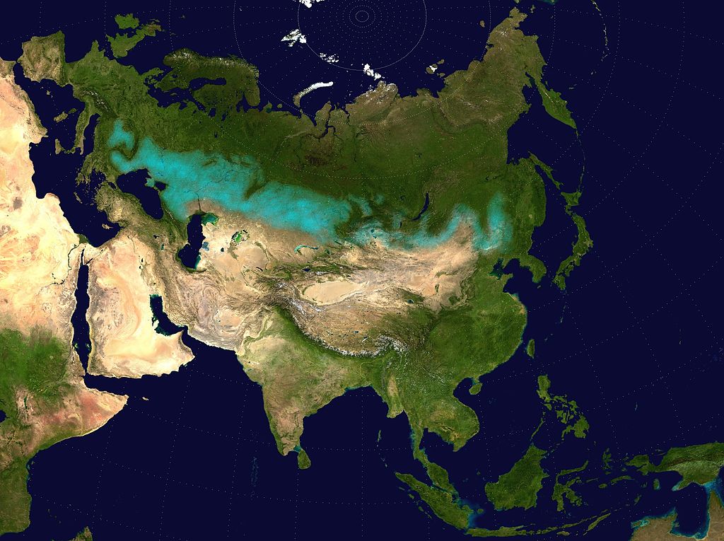
| 14:37, 26 May 2009 |  | 2,048 × 1,529 (1.64 MB) | Cp6 (talk | contribs) | {{Information |Description=Approximate pathway of the Eurasian steppe belt. Based on file Two-point-equidistant-asia, see below. |Source=*File:Two-point-equidistant-asia.jpg |Date=2009-05-26 15:24 (UTC) |Author=*[[:File:Two-point-equidistant-asia.j |
You cannot overwrite this file.
File usage on Commons
The following 4 pages use this file:
File usage on other wikis
The following other wikis use this file:
- Usage on ar.wikipedia.org
- Usage on azb.wikipedia.org
- Usage on az.wikipedia.org
- Usage on ba.wikipedia.org
- Usage on be-tarask.wikipedia.org
- Usage on be.wikipedia.org
- Usage on bg.wikipedia.org
- Usage on bh.wikipedia.org
- Usage on bn.wikipedia.org
- Usage on ca.wikipedia.org
- Usage on cs.wikipedia.org
- Usage on cy.wikipedia.org
- Usage on de.wikipedia.org
- Usage on de.wikibooks.org
- Usage on de.wikiversity.org
- Usage on el.wikipedia.org
- Usage on en.wikipedia.org
- Usage on eo.wikipedia.org
- Usage on es.wikipedia.org
- Usage on eu.wikipedia.org
- Usage on fa.wikipedia.org
- Usage on fa.wikibooks.org
- Usage on fi.wikipedia.org
- Usage on frr.wikipedia.org
- Usage on ga.wikipedia.org
- Usage on glk.wikipedia.org
- Usage on he.wikipedia.org
- Usage on hi.wikipedia.org
- Usage on hr.wikipedia.org
- Usage on hu.wikipedia.org
- Usage on hy.wikipedia.org
- Usage on io.wikipedia.org
View more global usage of this file.