File:European Union topographic map.svg
Jump to navigation
Jump to search

Size of this PNG preview of this SVG file: 377 × 454 pixels. Other resolutions: 199 × 240 pixels | 399 × 480 pixels | 638 × 768 pixels | 850 × 1,024 pixels | 1,701 × 2,048 pixels.
Original file (SVG file, nominally 377 × 454 pixels, file size: 615 KB)
Captions
Captions
Add a one-line explanation of what this file represents
| Description |
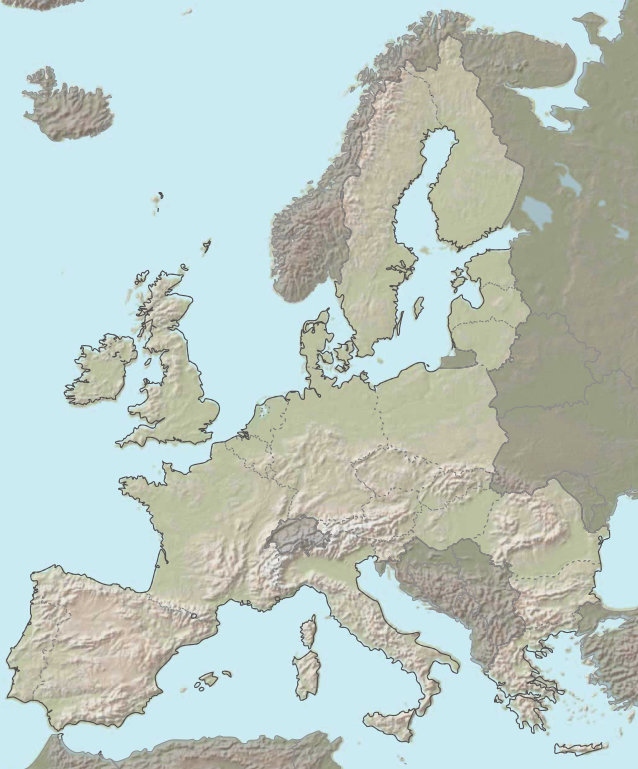
English: Topographic map of the European Union Français : Carte topographique de l'Union Européenne |
| Date | (UTC) |
| Source | |
| Author |
|
| I, the copyright holder of this work, release this work into the public domain. This applies worldwide. In some countries this may not be legally possible; if so: I grant anyone the right to use this work for any purpose, without any conditions, unless such conditions are required by law. |
Original upload log
[edit]
This image is a derivative work of the following images:
- File:European_Union_map_heightfield.svg licensed with PD-USGov-CIA
- 2007-10-03T20:24:54Z Ssolbergj 377x454 (650580 Bytes) Reverted to version as of 13:44, 3 October 2007
- 2007-10-03T20:00:22Z Ssolbergj 377x454 (899796 Bytes)
- 2007-10-03T19:54:52Z Ssolbergj 377x454 (899796 Bytes)
- 2007-10-03T19:44:19Z Ssolbergj 377x454 (538171 Bytes)
- 2007-10-03T19:41:37Z Ssolbergj 377x454 (538171 Bytes)
- 2007-10-03T13:44:42Z Ssolbergj 377x454 (650580 Bytes) {{Information |Description=Map over the European Union |Source=Background image from the CIA world factbook{{Inkscape}} |Date=03 October 2007 |Author= [[User:Ssolbergj|Ssolbergj]] }}
Uploaded with derivativeFX
File history
Click on a date/time to view the file as it appeared at that time.
| Date/Time | Thumbnail | Dimensions | User | Comment | |
|---|---|---|---|---|---|
| current | 15:52, 3 April 2010 | | 377 × 454 (615 KB) | Pethrus (talk | contribs) | Border color fixes. |
| 12:54, 3 April 2010 |  | 377 × 454 (614 KB) | Pethrus (talk | contribs) | Lighter weight | |
| 12:30, 3 April 2010 |  | 377 × 454 (1.06 MB) | Pethrus (talk | contribs) | {{Information |Description={{en|Topographic map of the European Union}}{{fr|Carte topographique de l'Union Européenne}} |Source=*File:European_Union_map_heightfield.svg |Date=2010-04-03 12:26 (UTC) |Author=*[[:File:European_Union_map_heightfield.sv |
You cannot overwrite this file.
File usage on Commons
The following page uses this file:
File usage on other wikis
The following other wikis use this file:
- Usage on fr.wikipedia.org