File:FMIB 34605 Carte des Profondeurs de l'Atlantique.jpeg
Jump to navigation
Jump to search
Size of this preview: 403 × 600 pixels. Other resolutions: 161 × 240 pixels | 322 × 480 pixels | 738 × 1,098 pixels.
Original file (738 × 1,098 pixels, file size: 233 KB, MIME type: image/jpeg)
Captions
Captions
Add a one-line explanation of what this file represents
Summary
[edit]| Author |
|
|||||||||||||||||||||||
| Description |
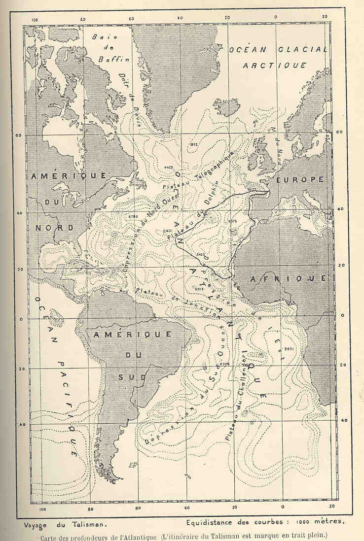
Français : Carte des Profondeurs de l'Atlantique
English: l'Itineraire du Talisman est Marque en Train Plein
|
|||||||||||||||||||||||
| Date | 1886 | |||||||||||||||||||||||
| Collection |
|
|||||||||||||||||||||||
| Current location |
English: Freshwater and Marine Image Bank |
|||||||||||||||||||||||
| Accession number | ||||||||||||||||||||||||
| Source/Photographer |
Français : Perrier, Edmond (1886) Explorations Sous-Marines, Paris: Librairie Hachette et Cie. |
|||||||||||||||||||||||
| Permission (Reusing this file) |
|
|||||||||||||||||||||||

File history
Click on a date/time to view the file as it appeared at that time.
| Date/Time | Thumbnail | Dimensions | User | Comment | |
|---|---|---|---|---|---|
| current | 01:25, 16 August 2015 | | 738 × 1,098 (233 KB) | BMacZeroBot (talk | contribs) |
You cannot overwrite this file.
File usage on Commons
The following page uses this file: