File:Flag map of Washington.svg
Jump to navigation
Jump to search

Size of this PNG preview of this SVG file: 800 × 521 pixels. Other resolutions: 320 × 208 pixels | 640 × 417 pixels | 1,024 × 667 pixels | 1,280 × 833 pixels | 2,560 × 1,667 pixels | 1,370 × 892 pixels.
Original file (SVG file, nominally 1,370 × 892 pixels, file size: 485 KB)
Captions
Captions
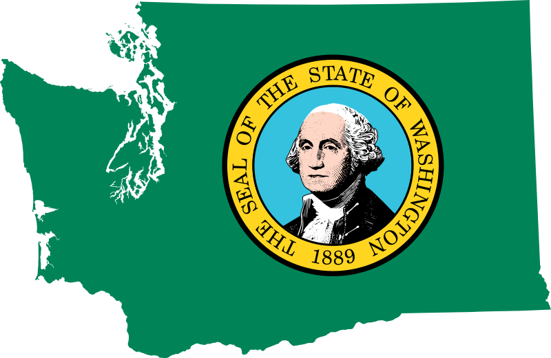
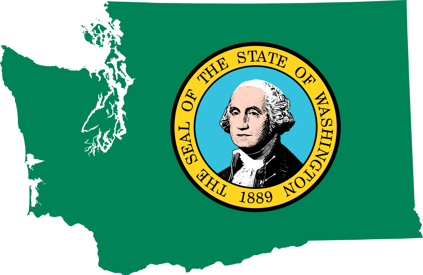
Washington's capital is Seattle.
| Description | Flag map of Washington |
| Date | (UTC) |
| Source | |
| Author |
|
| I, the copyright holder of this work, release this work into the public domain. This applies worldwide. In some countries this may not be legally possible; if so: I grant anyone the right to use this work for any purpose, without any conditions, unless such conditions are required by law. |
Uploaded with derivativeFX
File history
Click on a date/time to view the file as it appeared at that time.
| Date/Time | Thumbnail | Dimensions | User | Comment | |
|---|---|---|---|---|---|
| current | 19:53, 28 June 2022 | | 1,370 × 892 (485 KB) | Flagvisioner (talk | contribs) | very minor code reduction |
| 19:52, 28 June 2022 |  | 1,370 × 892 (486 KB) | Flagvisioner (talk | contribs) | possibly fixed rendering issue & removed thick outlining | |
| 12:57, 19 June 2022 |  | 1,053 × 688 (924 KB) | John emil hernandez (talk | contribs) | to match flags all us states | |
| 23:00, 10 April 2011 |  | 5,920 × 3,856 (419 KB) | Fry1989 (talk | contribs) | {{Information |Description=Flag map of Washington |Source=*File:Eastern_Washington_map.svg *File:Flag_of_Washington.svg |Date=2011-04-10 22:56 (UTC) |Author=*File:Eastern_Washington_map.svg: *[[:File:Map_of_Washington_counties,_blank.svg |
You cannot overwrite this file.
File usage on Commons
The following 2 pages use this file:
File usage on other wikis
The following other wikis use this file:
- Usage on cy.wikipedia.org
- Usage on en.wikipedia.org
- Argosy University, Seattle
- South Seattle College
- Tacoma Community College
- Cushman Dam No. 1
- Cushman Dam No. 2
- Clover Park Technical College
- Template:Washington-geo-stub
- Hurricane Ridge
- Adelphia College
- Town Hall Seattle
- Elbe Evangelical Lutheran Church
- Dark Divide
- Ashmead College
- Big Bend Community College
- University of Washington School of Public Health
- William Ross Rust House
- Patsy Clark Mansion
- Okanagan Trail
- South Puget Sound Community College
- Skagit Valley College
- Foster Business Library
- St. Paul's Mission
- Windy Pass (Alpine Lakes)
- Washington Community and Technical Colleges
- Lumber Exchange Building (South Bend, Washington)
- Eastern Washington University Press
- Antioch University Seattle
- Okanagan Basin
- Montvale Hotel
- McAlmond House
- Washington State University Press
- University of Washington College of Arts and Sciences
- Cloverfields
- Heritage University
- Olympia Brewery
- Emmanuel Episcopal Church (Eastsound, Washington)
- Fairweather–Trevitt House
- 1976 Democratic Party presidential primaries
- Northwest Film School
- Creaser Hotel
- McMillin Bridge
View more global usage of this file.