File:France relief location map Large South west highlighted.png
Jump to navigation
Jump to search
Size of this preview: 624 × 600 pixels. Other resolutions: 250 × 240 pixels | 499 × 480 pixels | 799 × 768 pixels | 1,066 × 1,024 pixels | 2,000 × 1,922 pixels.
Original file (2,000 × 1,922 pixels, file size: 4.65 MB, MIME type: image/png)
Captions
Captions
Add a one-line explanation of what this file represents
| Description |
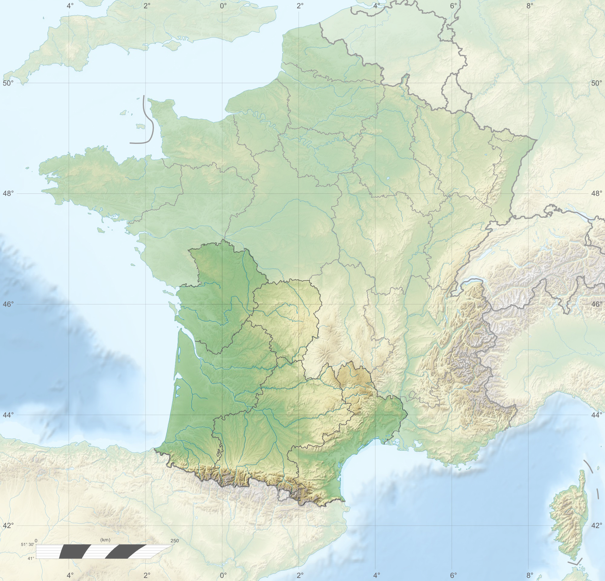
English: Physical map of France with South-West highlighted
Français : Carte de la France avec le Grand Sud-Ouest français en surbrillance |
| Date | (UTC) |
| Source | |
| Author |
|
| Other versions | Derivative works of this file: France relief location map South West highlighted-fr.png |
I, the copyright holder of this work, hereby publish it under the following licenses:
This file is licensed under the Creative Commons Attribution-Share Alike 3.0 Unported, 2.5 Generic, 2.0 Generic and 1.0 Generic license.
- You are free:
- to share – to copy, distribute and transmit the work
- to remix – to adapt the work
- Under the following conditions:
- attribution – You must give appropriate credit, provide a link to the license, and indicate if changes were made. You may do so in any reasonable manner, but not in any way that suggests the licensor endorses you or your use.
- share alike – If you remix, transform, or build upon the material, you must distribute your contributions under the same or compatible license as the original.

|
Permission is granted to copy, distribute and/or modify this document under the terms of the GNU Free Documentation License, Version 1.2 or any later version published by the Free Software Foundation; with no Invariant Sections, no Front-Cover Texts, and no Back-Cover Texts. A copy of the license is included in the section entitled GNU Free Documentation License. |
You may select the license of your choice.
Original upload log
[edit]
This image is a derivative work of the following images:
- File:France_relief_location_map.jpg licensed with Cc-by-sa-3.0,2.5,2.0,1.0, GFDL
- 2009-11-17T14:15:05Z Sting 2000x1922 (841695 Bytes) Embedded sRGB profile
- 2008-11-07T13:29:55Z Sting 2000x1922 (820493 Bytes) libia -> labia (in english)Variable scale
- 2008-08-23T16:41:50Z Sting 2000x1922 (822514 Bytes) libia -> labia (in english)••
- 2008-07-25T17:58:30Z Sting 2000x1922 (834401 Bytes) Variable scale
- 2008-07-25T14:46:50Z Sting 2000x1922 (833928 Bytes) - border
- 2008-07-04T20:00:15Z Sting 2000x1922 (824339 Bytes) Original author: [[User:Zephyris]], Modified by: [[User:Seans_Potato_Business]] (corrected helix direction around histone). By Richard Wheeler (Zephyris) 2005; The major chromatin structures. == Licensing == {{GFDL-self}} •
Uploaded with derivativeFX
File history
Click on a date/time to view the file as it appeared at that time.
| Date/Time | Thumbnail | Dimensions | User | Comment | |
|---|---|---|---|---|---|
| current | 21:28, 14 March 2010 | | 2,000 × 1,922 (4.65 MB) | Pethrus (talk | contribs) | {{Information |Description={{en|Physical map of France with South-West highlighted}} {{fr|Carte de la France avec le Grand Sud-Ouest français en surbrillance}} |Source=*[[:File:France_relief_location_map.j |
You cannot overwrite this file.
File usage on Commons
The following page uses this file:
File usage on other wikis
The following other wikis use this file:
- Usage on fr.wikipedia.org