File:Generalkarte von Mitteleuropa Scutari - 37-42 (Zadrima).jpg
Jump to navigation
Jump to search
Size of this preview: 406 × 600 pixels. Other resolutions: 162 × 240 pixels | 325 × 480 pixels | 520 × 768 pixels | 1,135 × 1,677 pixels.
Original file (1,135 × 1,677 pixels, file size: 580 KB, MIME type: image/jpeg)
Captions
Captions
Add a one-line explanation of what this file represents
Summary
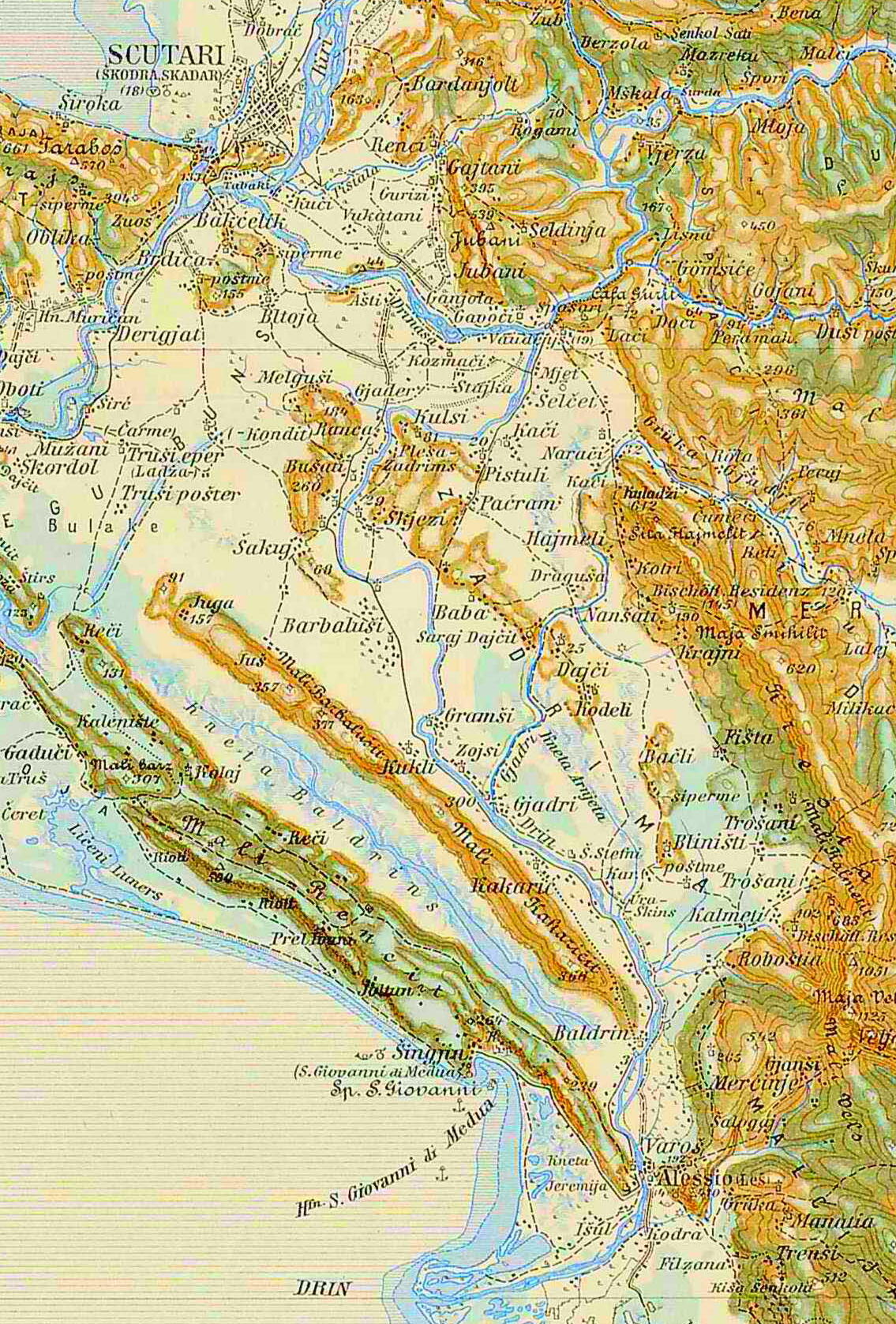
[edit]| Description |
Extract of Map: 3rd Military Mapping Survey of Austria-Hungary - Scutari |
| Date | |
| Source | http://lazarus.elte.hu/hun/moterkep.htm - László ZENTAI |
| Creator |
Military mapping authority of Austria-Hungary |
| Geotemporal data | |
| Map location | Western Balkans |
| Map type | topographic map |
| Scale | 1:200,000 |
| Georeferencing | |
| Bibliographic data | |
| Map sheet | 37-42 |
| Language | German |
| Other versions | |

.jpg&action=edit§ion=1)
Licensing
[edit].jpg&action=edit§ion=2)
|
This work is in the public domain in its country of origin and other countries and areas where the copyright term is the author's life plus 70 years or fewer. | |
| This file has been identified as being free of known restrictions under copyright law, including all related and neighboring rights. | |
File history
Click on a date/time to view the file as it appeared at that time.
| Date/Time | Thumbnail | Dimensions | User | Comment | |
|---|---|---|---|---|---|
| current | 21:23, 10 November 2023 | | 1,135 × 1,677 (580 KB) | Albinfo (talk | contribs) | File:Scutari - 37-42.jpg cropped 70 % horizontally, 66 % vertically using CropTool with precise mode. |
You cannot overwrite this file.
File usage on Commons
The following page uses this file:
File usage on other wikis
The following other wikis use this file:
- Usage on de.wikipedia.org
.jpg&oldid=897763040)