File:Germany (+districts +municipalities) location map.png
Jump to navigation
Jump to search
Size of this preview: 509 × 599 pixels. Other resolutions: 204 × 240 pixels | 408 × 480 pixels | 652 × 768 pixels | 869 × 1,024 pixels | 1,739 × 2,048 pixels | 5,000 × 5,888 pixels.
Original file (5,000 × 5,888 pixels, file size: 1.15 MB, MIME type: image/png)
Captions
Captions
Add a one-line explanation of what this file represents
Summary
[edit]| Description |
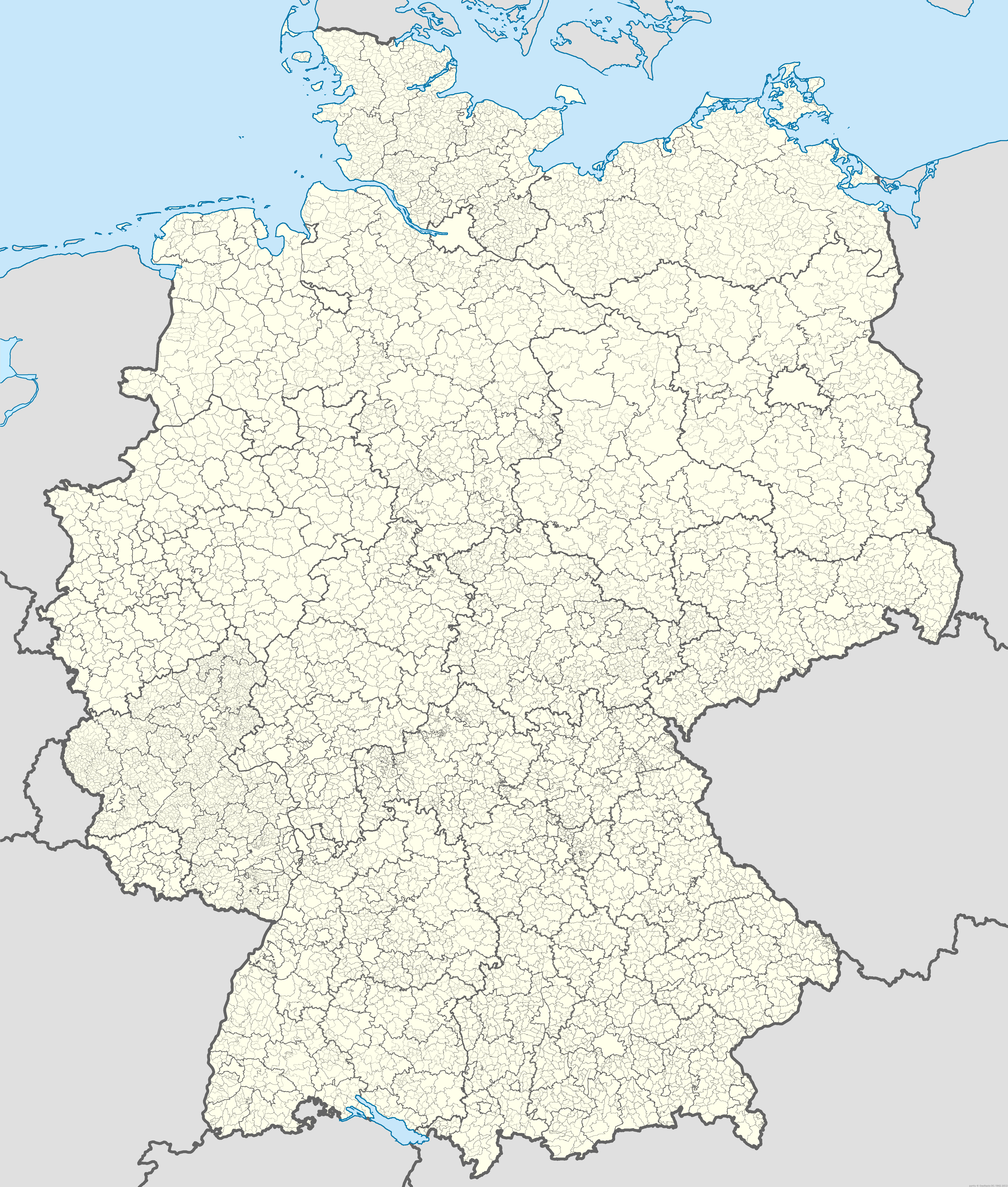
Deutsch: Positionskarte von Deutschland mit Grenzen der Regierungsbezirke, Landkreise, kreisfreien Städte, Kommunen und Kommunalverbände. Stand 1.1.2013.
Quadratische Plattkarte, N-S-Streckung 150 %. Geographische Begrenzung der Karte:
English: Location map of Germany with states, districts, municipalities af of Jan 1st, 2013.
Equirectangular projection, N/S stretching 150 %. Geographic limits of the map:
|
| Date | |
| Source |
Own work This image includes elements that have been taken or adapted from this file: |
| Author |
TUBS |
| Permission (Reusing this file) |
Please see File:Germany (+districts +municipalities) location map.svg for a recommendation of how to deal with the BKG-attribution. |
| Other versions |
|
| PNG development | This map was created with Adobe Illustrator. |

_location_map.svg)
_location_map_2013.svg)
_location_map.png)
_location_map.png&action=edit§ion=1)
_location_map.svg)
Licensing
[edit]_location_map.png&action=edit§ion=2)
Original data for all borders within Germany: © GeoBasis-DE / BKG 2013 according Verordnung zur Festlegung der Nutzungsbestimmungen für die Bereitstellung von Geodaten des Bundes vom 19. März 2013 (BGBl. I S. 547) (GEoNutzV)
I, the copyright holder of this work, hereby publish it under the following licenses:
This file is licensed under the Creative Commons Attribution-Share Alike 3.0 Unported license.
- You are free:
- to share – to copy, distribute and transmit the work
- to remix – to adapt the work
- Under the following conditions:
- attribution – You must give appropriate credit, provide a link to the license, and indicate if changes were made. You may do so in any reasonable manner, but not in any way that suggests the licensor endorses you or your use.
- share alike – If you remix, transform, or build upon the material, you must distribute your contributions under the same or compatible license as the original.

|
Permission is granted to copy, distribute and/or modify this document under the terms of the GNU Free Documentation License, Version 1.2 or any later version published by the Free Software Foundation; with no Invariant Sections, no Front-Cover Texts, and no Back-Cover Texts. A copy of the license is included in the section entitled GNU Free Documentation License. |
You may select the license of your choice.

|
I'd greatly appreciate, that you attribute this media file to Wikimedia Commons, if used outside Wikipedia or Commons. For use in publications such as books, newspapers, blogs, websites, please insert here the following line:
|
_location_map.png&action=edit&redlink=1)
File history
Click on a date/time to view the file as it appeared at that time.
| Date/Time | Thumbnail | Dimensions | User | Comment | |
|---|---|---|---|---|---|
| current | 11:00, 20 November 2013 | | 5,000 × 5,888 (1.15 MB) | TUBS (talk | contribs) | == {{int:filedesc}} == {{Information |Description= {{de|Positionskarte von Deutschland mit Grenzen der Regierungsbezirke, Landkreise, kreisfreien Städte, Kommmunen und Kommunalverbände. Stand 1.1.2013.}} [[:de:Quadratische Plattka... |
You cannot overwrite this file.
File usage on Commons
The following 3 pages use this file:
_location_map_current.svg)
File usage on other wikis
The following other wikis use this file:
- Usage on uk.wikipedia.org
- Usage on www.wikidata.org
_location_map.png&oldid=720177848)