File:Harta administrativa a Republicii Moldova.jpg
Jump to navigation
Jump to search
Size of this preview: 467 × 599 pixels. Other resolutions: 187 × 240 pixels | 374 × 480 pixels | 1,012 × 1,298 pixels.
Original file (1,012 × 1,298 pixels, file size: 191 KB, MIME type: image/jpeg)
Captions
Captions
Add a one-line explanation of what this file represents
Summary
[edit]| Description |
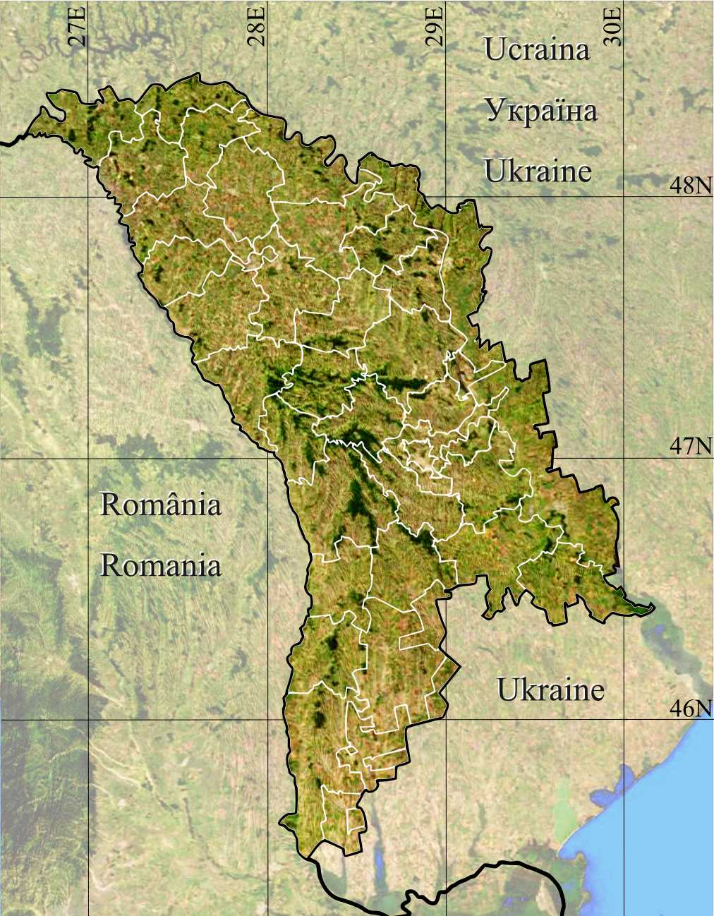
Română: Harta administrativa a Republicii Moldova. |
| Date | |
| Source | Topographic data SRTM from NASA and World Imagery & 3DEM & Inkscape |
| Author | Asybaris01 |
| Other versions |
|

Licensing
[edit]
| This file is in the public domain in the United States because it was solely created by NASA. NASA copyright policy states that "NASA material is not protected by copyright unless noted". (See Template:PD-USGov, NASA copyright policy page or JPL Image Use Policy.) | ||
 |
Warnings:
|
File history
Click on a date/time to view the file as it appeared at that time.
| Date/Time | Thumbnail | Dimensions | User | Comment | |
|---|---|---|---|---|---|
| current | 17:54, 19 January 2012 | | 1,012 × 1,298 (191 KB) | Asybaris01 (talk | contribs) | textura noua |
| 08:11, 19 January 2012 |  | 1,012 × 1,298 (213 KB) | Asybaris01 (talk | contribs) | {{Information |Description ={{ro|1=Harta administrativa a Republicii Moldova.}} |Source =Topographic data SRTM from NASA and World Imagery & 3DEM & Inkscape |Author =Asybaris01 |Date =jan 2012 |Permission |
You cannot overwrite this file.
File usage on Commons
The following page uses this file: