File:Heritage-Range-location-map.png
Jump to navigation
Jump to search

Size of this preview: 761 × 599 pixels. Other resolutions: 305 × 240 pixels | 610 × 480 pixels | 975 × 768 pixels | 1,280 × 1,008 pixels | 1,600 × 1,260 pixels.
Original file (1,600 × 1,260 pixels, file size: 3.04 MB, MIME type: image/png)
Captions
Captions
Add a one-line explanation of what this file represents
| Description | |
| Date | |
| Source | |
| Author |
|
| This is a retouched picture, which means that it has been digitally altered from its original version. Modifications: PNG fragment of the map with Heritage Range location shown.. The original can be viewed here: Antarctica relief location map.jpg:
|
I, the copyright holder of this work, hereby publish it under the following license:
This file is licensed under the Creative Commons Attribution-Share Alike 3.0 Unported license.
- You are free:
- to share – to copy, distribute and transmit the work
- to remix – to adapt the work
- Under the following conditions:
- attribution – You must give appropriate credit, provide a link to the license, and indicate if changes were made. You may do so in any reasonable manner, but not in any way that suggests the licensor endorses you or your use.
- share alike – If you remix, transform, or build upon the material, you must distribute your contributions under the same or compatible license as the original.
Original upload log
[edit]
This image is a derivative work of the following images:
- File:Antarctica_relief_location_map.jpg licensed with Cc-by-sa-3.0
- 2010-02-21T21:24:26Z Alexrk2 1500x1500 (837443 Bytes) == Summary == {{Information |Description= {{de|Physische Positionskarte [[:de:Antarktis|Antarktis]], Mittabstandstreue Azimutalprojektion}} {{en|Physical Location map [[:en:Antarctica|Antarctica]], Azimuthal equidistant proje
Uploaded with derivativeFX
File history
Click on a date/time to view the file as it appeared at that time.
| Date/Time | Thumbnail | Dimensions | User | Comment | |
|---|---|---|---|---|---|
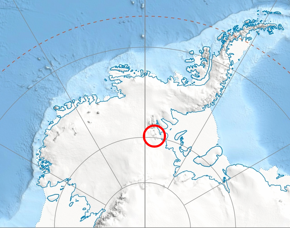
| current | 06:21, 11 July 2010 | | 1,600 × 1,260 (3.04 MB) | Apcbg (talk | contribs) | {{Information |Description={{en|Location of en:Heritage Range in en:Western Antarctica.}} |Source=*Antarctica_relief_location_map.jpg |Date=2010-07-10 |Author=*[[:File:Antarctica_relief_location_map.j |
You cannot overwrite this file.
File usage on Commons
The following page uses this file:
File usage on other wikis
The following other wikis use this file:
- Usage on ceb.wikipedia.org
- Usage on de.wikipedia.org
- Usage on en.wikipedia.org
- Mount Shattuck
- Shoemaker Peak
- Siefker Ridge
- Mount Simmons
- Yochelson Ridge
- Zavis Peak
- Ziegler Point
- Independence Hills
- Inferno Ridge
- Muir Peak
- Ahrnsbrak Glacier
- Gifford Peaks
- Union Glacier
- Balish Glacier
- Webster Glacier
- Dobbratz Glacier
- Grimes Glacier
- Gowan Glacier
- Plummer Glacier
- Henderson Glacier
- Hyde Glacier
- Schanz Glacier
- Schneider Glacier
- Seal Glacier
- Splettstoesser Glacier
- Rennell Glacier
- Kelley Peak (Antarctica)
- Liberty Hills (Antarctica)
- Patriot Hills
- Schmidt Glacier (Antarctica)
- Usage on es.wikipedia.org
- Usage on fa.wikipedia.org
- Usage on he.wikipedia.org
- Usage on it.wikipedia.org
- Usage on ja.wikipedia.org
- Usage on lld.wikipedia.org
- Usage on mk.wikipedia.org
- Usage on nn.wikipedia.org
View more global usage of this file.