File:Himachal Pradesh districts.png
Jump to navigation
Jump to search

Size of this preview: 589 × 599 pixels. Other resolutions: 236 × 240 pixels | 472 × 480 pixels | 755 × 768 pixels | 1,039 × 1,057 pixels.
Original file (1,039 × 1,057 pixels, file size: 155 KB, MIME type: image/png)
Captions
Captions
Add a one-line explanation of what this file represents
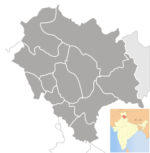
| Description | Blank district map of Himachal Pradesh |
| Date | (UTC) |
| Source | |
| Author |
|
| This is a retouched picture, which means that it has been digitally altered from its original version. The original can be viewed here: Himachal Pradesh locator map.svg:
|
I, the copyright holder of this work, hereby publish it under the following license:
This file is licensed under the Creative Commons Attribution-Share Alike 3.0 Unported license.
- You are free:
- to share – to copy, distribute and transmit the work
- to remix – to adapt the work
- Under the following conditions:
- attribution – You must give appropriate credit, provide a link to the license, and indicate if changes were made. You may do so in any reasonable manner, but not in any way that suggests the licensor endorses you or your use.
- share alike – If you remix, transform, or build upon the material, you must distribute your contributions under the same or compatible license as the original.
Original upload log
[edit]
This image is a derivative work of the following images:
- File:Himachal_Pradesh_locator_map.svg licensed with Cc-by-sa-3.0
- 2007-06-04T16:48:21Z PlaneMad 1039x1057 (141298 Bytes) {{WikiProject_India_Maps |Title=Himachal Pradesh locator map |Description=Map of [[w:Himachal Pradesh ]] with road and rail lines. |Source= |Date=June 2007 |Author=[[w:user:Planemad]] }} [[Category:WikiProject India State M
Uploaded with derivativeFX
File history
Click on a date/time to view the file as it appeared at that time.
| Date/Time | Thumbnail | Dimensions | User | Comment | |
|---|---|---|---|---|---|
| current | 12:54, 24 September 2009 | | 1,039 × 1,057 (155 KB) | Abhijitsathe (talk | contribs) | {{Information |Description=Blank district map of Himachal Pradesh |Source=*File:Himachal_Pradesh_locator_map.svg |Date=2009-09-24 12:53 (UTC) |Author=*File:Himachal_Pradesh_locator_map.svg: '''PlaneMad''' *derivative work: ~~ |
You cannot overwrite this file.
File usage on Commons
The following 2 pages use this file:
File usage on other wikis
The following other wikis use this file:
- Usage on bn.wikipedia.org
- রাজগড়
- বিলাসপুর, হিমাচল প্রদেশ
- চুওয়ারি খাস
- দাগশাই
- ডালহৌসি সেনানিবাস
- দৌলতপুর (হিমাচল প্রদেশ)
- দেরা গোপিপুর
- ধর্মশালা
- গাগ্রেত
- ঘুমারওয়িন
- হামিরপুর
- জ্বালামুখী
- যোগিন্দ্রনগর
- জুব্বাল
- জুতোগ
- কাংরা
- কসৌলী
- আরকাই
- কোতখাই
- মন্ত খাস
- মেহাতপুর বাসধেরা
- নাদুন
- নগ্রতা বগওয়ান
- নাহান
- নায়না দেবী
- নালাগড়
- নরকান্দ
- নুরপুর
- বাদ্দি
- পালামপুর
- পাওন্তা সাহিব
- পরওয়ানো
- রামপুর
- রাওয়ালসার
- রোহরু
- বাকলোহ
- সবাথু
- সান্তখগ্রহ
- সরকাঘাট
- সেওনি, হিমাচল প্রদেশ
- সোলান
- সুন্দরনগর
- তালাই
- থেওগ
- বানজার
- তিরা সুজনপুর
- উনা
- ইয়ল
- ভোটা
- ভুনতার
View more global usage of this file.