File:I-195.svg

Original file (SVG file, nominally 751 × 601 pixels, file size: 12 KB)
Captions
Captions
This file is in the public domain because it comes from the Manual on Uniform Traffic Control Devices, sign number M1-1, which states specifically on page I-1 that:
|
.svg) |

|
This work includes material that may be protected as a trademark in some jurisdictions. If you want to use it, you have to ensure that you have the legal right to do so and that you do not infringe any trademark rights. See our general disclaimer. This tag does not indicate the copyright status of the attached work. A normal copyright tag is still required. See Commons:Licensing. |
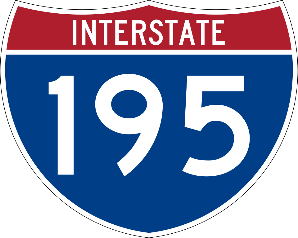
750 mm by 600 mm (30 in by 24 in) Interstate shield, made to the specifications of the 2004 edition of Standard Highway Signs (sign M1-1). Uses the Roadgeek 2005 fonts archive copy at the Wayback Machine. (United States law does not permit the copyrighting of typeface designs, and the fonts are meant to be copies of a U.S. Government-produced work anyway.) Colors are from [1] (Pantone Red 187 and Blue 294), converted to RGB by [2]. The outside border has a width of 1 (1 mm) and a color of black so it shows up; in reality, signs have no outside border.
File history
Click on a date/time to view the file as it appeared at that time.
| Date/Time | Thumbnail | Dimensions | User | Comment | |
|---|---|---|---|---|---|
| current | 17:53, 13 October 2022 | | 751 × 601 (12 KB) | Philroc (talk | contribs) | My bad |
| 17:52, 13 October 2022 |  | 751 × 601 (13 KB) | Philroc (talk | contribs) | As a Richmonder, it's definitely not Series D | |
| 15:50, 22 August 2017 |  | 751 × 601 (12 KB) | Fredddie (talk | contribs) | Series D | |
| 05:28, 19 May 2007 |  | 751 × 601 (13 KB) | Ltljltlj (talk | contribs) | ||
| 06:09, 5 April 2006 |  | 751 × 601 (11 KB) | SPUI~commonswiki (talk | contribs) | ||
| 00:59, 5 April 2006 |  | 751 × 601 (11 KB) | SPUI~commonswiki (talk | contribs) | {{spuiother}} 750 mm by 600 mm (30 in by 24 in) Interstate shield, made to the specifications of the [http://mutcd.fhwa.dot.gov/SHSm/Guide.pdf 2004 edition of Standard Highway Signs] (sign M1-1). Uses the [http://www.triskele.com/fonts/index.html Roadgeek |
You cannot overwrite this file.
File usage on Commons
The following 6 pages use this file:
File usage on other wikis
The following other wikis use this file:
- Usage on bn.wikipedia.org
- Usage on ckb.wikipedia.org
- Usage on de.wikipedia.org
- Usage on dty.wikipedia.org
- Usage on en.wikipedia.org
- Baltimore County, Maryland
- Baltimore/Washington International Airport
- Anne Arundel County, Maryland
- Richmond, Virginia
- U.S. Route 1
- Interstate 95
- Bristol County, Massachusetts
- Plymouth County, Massachusetts
- New Jersey Turnpike
- New Jersey Route 18
- New Jersey Route 138
- New Jersey Route 34
- New Jersey Route 35
- U.S. Route 9
- Henrico County, Virginia
- Providence County, Rhode Island
- Interstate 64
- New Jersey Route 29
- Catonsville, Maryland
- Elkridge, Maryland
- U.S. Route 130
- New Jersey Route 129
- U.S. Route 206
- Garden State Parkway
- New York metropolitan area
- Washington–Baltimore combined statistical area
- New Jersey Route 187
- Baltimore–Washington Parkway
- U.S. Route 6
- Massachusetts Route 79
- Patapsco River
- Massachusetts Route 24
- Greater Boston
- Interstate 195 (Florida)
View more global usage of this file.