File:Iberian map europe.svg
Jump to navigation
Jump to search

Size of this PNG preview of this SVG file: 680 × 520 pixels. Other resolutions: 314 × 240 pixels | 628 × 480 pixels | 1,004 × 768 pixels | 1,280 × 979 pixels | 2,560 × 1,958 pixels.
Original file (SVG file, nominally 680 × 520 pixels, file size: 522 KB)
Captions
Captions
Add a one-line explanation of what this file represents
| Description |
|
| Date | (UTC) |
| Source | |
| Author |
|
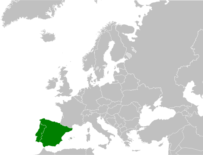
| This is a retouched picture, which means that it has been digitally altered from its original version. Modifications: highlight iberian peninsula. The original can be viewed here: Blank map europe.svg:
|
| I, the copyright holder of this work, release this work into the public domain. This applies worldwide. In some countries this may not be legally possible; if so: I grant anyone the right to use this work for any purpose, without any conditions, unless such conditions are required by law. |
Original upload log
[edit]
This image is a derivative work of the following images:
- Image:Blank_map_europe.svg licensed with PD-USGov-CIA-WF
- 2008-06-09T20:44:17Z Cradel 680x520 (530422 Bytes) Reverted to version as of 17:01, 9 June 2008
- 2008-06-09T17:34:51Z Milosevo 680x520 (528468 Bytes) Reverted to version as of 14:14, 9 June 2008
- 2008-06-09T17:01:41Z Cradel 680x520 (530422 Bytes) Reverted to version as of 20:14, 8 June 2008
- 2008-06-09T14:14:04Z Milosevo 680x520 (528468 Bytes) revert, vandalism. No UN-Member
- 2008-06-08T20:14:58Z Cradel 680x520 (530422 Bytes) Reverted vandalism
- 2008-06-08T15:21:43Z Milosevo 680x520 (528468 Bytes) Reverted to version as of 21:10, 27 May 2007
- 2008-05-30T12:01:01Z Cradel 680x520 (530422 Bytes) + Kosovo
- 2007-05-27T21:10:55Z Ssolbergj 680x520 (528468 Bytes)
- 2006-08-06T14:15:12Z Estoy Aquí 1200x1000 (318304 Bytes) * Description: Blank map of Europe * Source: SVG trace of PNG of the same name. Original PNG based on CIA map[https://www.cia.gov/cia/publications/factbook/index.html The World Factbook] * Author: PNG author [[User:San Jose|S
Uploaded with derivativeFX
File history
Click on a date/time to view the file as it appeared at that time.
| Date/Time | Thumbnail | Dimensions | User | Comment | |
|---|---|---|---|---|---|
| current | 17:34, 16 June 2008 | | 680 × 520 (522 KB) | BBird (talk | contribs) | {{Information |Description=* Description: Blank map of Europe * Source: SVG trace of PNG of the same name. Original PNG based on CIA map [https://www.cia.gov/cia/publications/factbook/index.html The World Factbook] * Author |
You cannot overwrite this file.
File usage on Commons
The following 4 pages use this file:
.svg)
File usage on other wikis
The following other wikis use this file:
- Usage on ang.wikipedia.org
- Usage on arz.wikipedia.org
- Usage on ast.wiktionary.org
- Usage on azb.wikipedia.org
- Usage on az.wikipedia.org
- Usage on ba.wikipedia.org
- Usage on bn.wikipedia.org
- Usage on bs.wikipedia.org
- Usage on cy.wikipedia.org
- Usage on da.wikipedia.org
- Usage on dsb.wikipedia.org
- Usage on en.wikipedia.org
- Usage on en.wiktionary.org
- Usage on es.wikipedia.org
- Usage on eu.wikipedia.org
- Usage on fa.wikipedia.org
- Usage on fi.wikipedia.org
- Usage on fi.wiktionary.org
- Usage on fr.wikipedia.org
- Usage on fr.wiktionary.org
- Usage on gv.wikipedia.org
- Usage on he.wikibooks.org
- Usage on he.wikivoyage.org
- Usage on hsb.wikipedia.org
- Usage on id.wikipedia.org
- Usage on io.wiktionary.org
- Usage on ko.wikipedia.org
- Usage on mrj.wikipedia.org
- Usage on mr.wikipedia.org
- Usage on mwl.wikipedia.org
- Usage on mzn.wikipedia.org
- Usage on nds-nl.wikipedia.org
- Usage on nl.wikipedia.org
- Usage on nn.wikipedia.org
- Usage on no.wikipedia.org
- Usage on pa.wikipedia.org
- Usage on pl.wikipedia.org
- Usage on pt.wikipedia.org
- Usage on pt.wikinews.org
- Usage on sv.wikipedia.org
- Usage on ta.wiktionary.org
- Usage on tl.wikipedia.org
- Usage on tt.wikipedia.org
View more global usage of this file.