File:Kamp-Lintfort, Schachtanlage Rossenray, 2010-10 CN-01.jpg
Original file (2,008 × 3,000 pixels, file size: 3.77 MB, MIME type: image/jpeg)
Captions
DescriptionKamp-Lintfort, Schachtanlage Rossenray, 2010-10 CN-01.jpg |
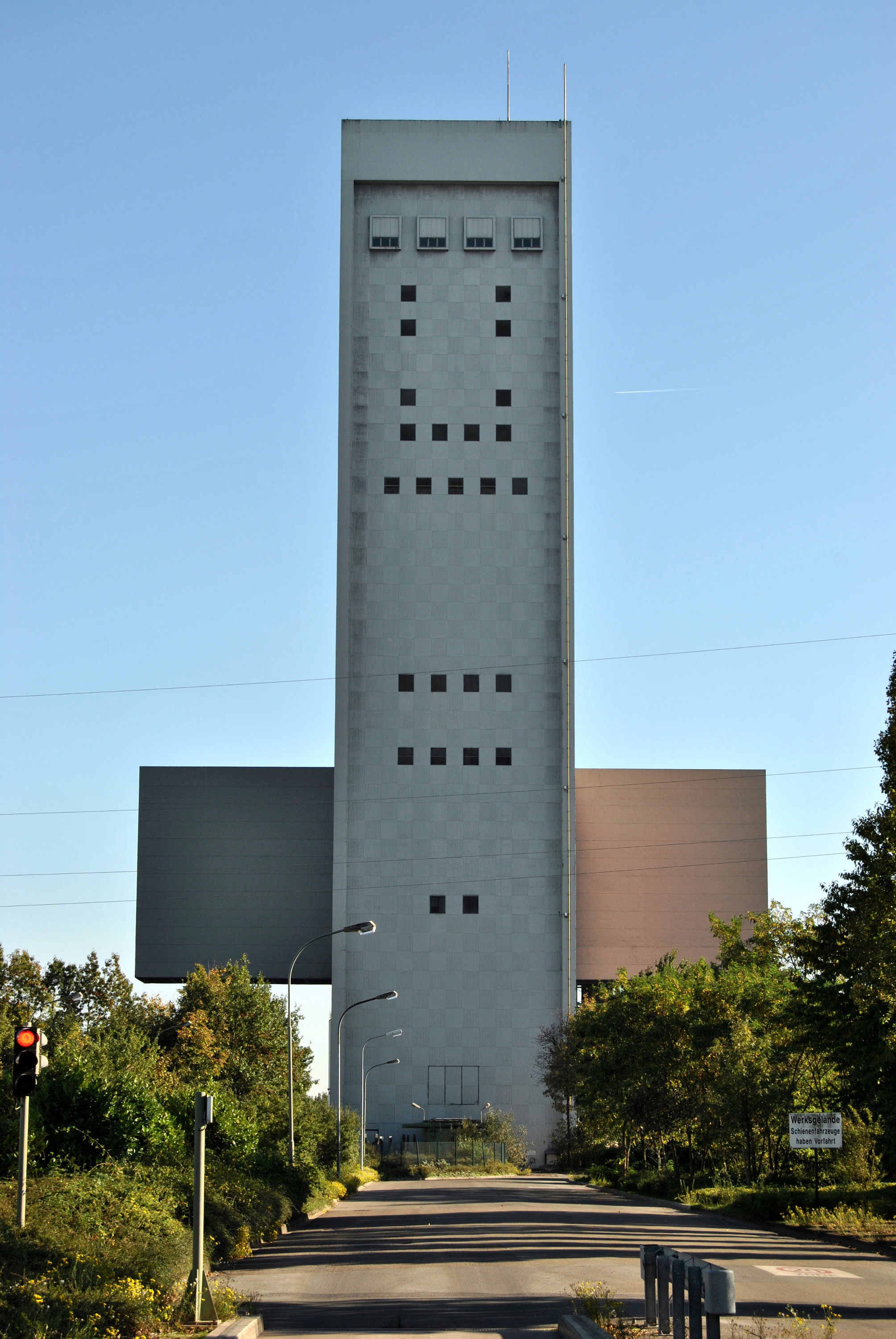
Deutsch: Kamp-Lintfort (Nordrhein-Westfalen) – Schachtanlage Rossenray (Verbundbergwerk West) – Schacht 1 – Förderturm (75 m hoch)
English: Kamp-Lintfort (North Rhine-Westphalia, Germany) – Rossenray Coal Mine – shaft 1 – winding tower (height: 75 m)
This photograph was taken with a Nikon D3000 |
||
Date | |||
Source | Own work | ||
Author | kaʁstn Disk/Cat | ||
Permission (Reusing this file) |
I, the copyright holder of this work, hereby publish it under the following licenses: This file is licensed under the Creative Commons Attribution-Share Alike 3.0 Germany license.
You may select the license of your choice. |
||
Other versions |
|
Camera location | 51° 31′ 10.05″ N, 6° 33′ 22.08″ E | View this and other nearby images on: OpenStreetMap | 51.519458; 6.556134 |
---|
This image has been assessed using the Quality image guidelines and is considered a Quality image.
العربية ∙ جازايرية ∙ беларуская ∙ беларуская (тарашкевіца) ∙ български ∙ বাংলা ∙ català ∙ čeština ∙ Cymraeg ∙ Deutsch ∙ Schweizer Hochdeutsch ∙ Zazaki ∙ Ελληνικά ∙ English ∙ Esperanto ∙ español ∙ eesti ∙ euskara ∙ فارسی ∙ suomi ∙ français ∙ galego ∙ עברית ∙ हिन्दी ∙ hrvatski ∙ magyar ∙ հայերեն ∙ Bahasa Indonesia ∙ italiano ∙ 日本語 ∙ Jawa ∙ ქართული ∙ 한국어 ∙ kurdî ∙ Lëtzebuergesch ∙ lietuvių ∙ македонски ∙ മലയാളം ∙ मराठी ∙ Bahasa Melayu ∙ Nederlands ∙ Norfuk / Pitkern ∙ polski ∙ português ∙ português do Brasil ∙ rumantsch ∙ română ∙ русский ∙ sicilianu ∙ slovenčina ∙ slovenščina ∙ shqip ∙ српски / srpski ∙ svenska ∙ தமிழ் ∙ తెలుగు ∙ ไทย ∙ Tagalog ∙ toki pona ∙ Türkçe ∙ українська ∙ vèneto ∙ Tiếng Việt ∙ 中文 ∙ 中文(简体) ∙ 中文(繁體) ∙ +/− |
File history
Click on a date/time to view the file as it appeared at that time.
Date/Time | Thumbnail | Dimensions | User | Comment | |
---|---|---|---|---|---|
current | 15:04, 12 October 2010 | 2,008 × 3,000 (3.77 MB) | Carschten (talk | contribs) | {{subst:User:Carschten/pic | Beschreibung = {{de|Der Förderturm von Schacht 1 der Schachtanlage Rossenray zwischen Rheinberg und Kamp-Lintfort ([[:de:Nieder | |
14:57, 12 October 2010 | 2,008 × 3,000 (3.77 MB) | Carschten (talk | contribs) | {{subst:User:Carschten/pic | Beschreibung = {{de|Der Förderturm von Schacht 1 der Schachtanlage Rossenray zwischen Rheinberg und Kamp-Lintfort ([[:de:Nieder |
You cannot overwrite this file.
File usage on Commons
The following 8 pages use this file:
- User talk:Carschten/Archive/Promotions
- Commons:Quality images/Subject/Places/Man made structures/Buildings, Exterior/Part 1a
- Commons:Quality images candidates/Archives October 2010
- Commons talk:Quality images/Subject/Places/Man made structures
- File:Kamp-Lintfort, Schachtanlage Rossenray, 2010-10 CN-02.jpg
- File:Rossenray, Schacht 1, Förderturm, I.jpg (file redirect)
- Category:Schachtanlage Rossenray
File usage on other wikis
The following other wikis use this file:
- Usage on de.wikipedia.org
- Usage on fr.wikipedia.org
- Usage on www.wikidata.org
Metadata
This file contains additional information such as Exif metadata which may have been added by the digital camera, scanner, or software program used to create or digitize it. If the file has been modified from its original state, some details such as the timestamp may not fully reflect those of the original file. The timestamp is only as accurate as the clock in the camera, and it may be completely wrong.
Camera manufacturer | NIKON CORPORATION |
---|---|
Camera model | NIKON D3000 |
Exposure time | 1/200 sec (0.005) |
F-number | f/7.1 |
ISO speed rating | 100 |
Date and time of data generation | 15:26, 10 October 2010 |
Lens focal length | 46 mm |
Horizontal resolution | 96 dpi |
Vertical resolution | 96 dpi |
Software used | GIMP 2.6.10 |
File change date and time | 15:42, 11 October 2010 |
Y and C positioning | Co-sited |
Exposure Program | Not defined |
Exif version | 2.21 |
Date and time of digitizing | 15:26, 10 October 2010 |
Meaning of each component |
|
Image compression mode | 4 |
APEX exposure bias | 0 |
Maximum land aperture | 4.8 APEX (f/5.28) |
Metering mode | Pattern |
Light source | Unknown |
Flash | Flash did not fire, compulsory flash suppression |
DateTime subseconds | 00 |
DateTimeOriginal subseconds | 00 |
DateTimeDigitized subseconds | 00 |
Supported Flashpix version | 1 |
Color space | sRGB |
Sensing method | One-chip color area sensor |
File source | Digital still camera |
Scene type | A directly photographed image |
Supported Flashpix version | 1 |
Image width | 2,592 px |
Image height | 3,872 px |
Date metadata was last modified | 17:10, 11 October 2010 |
Unique ID of original document | xmp.did:9F57CDF738D5DF11B411B0EB6AC7417D |
Structured data
Items portrayed in this file
depicts
10 October 2010
51°31'10.049"N, 6°33'22.082"E
0.005 second
7.1
46 millimetre
100
image/jpeg
- Taken with Nikon D3000
- CC-BY-SA-3.0-DE
- FAL
- Self-published work
- Files with coordinates missing SDC location of creation (51° N, 6° E)
- Quality images
- Quality images missing SDC depicts
- Photographs by Carschten
- Taken with AF-S DX Zoom-Nikkor 18-55mm/3.5-5.6G ED II
- Quality images by User:Carschten
- Quality images of Kamp-Lintfort
- Quality images of cultural heritage monuments in Kreis Wesel