File:MINURSO Deployment (April 2014).png
Original file (2,278 × 2,779 pixels, file size: 973 KB, MIME type: image/png)
Captions
Captions

|
This map image could be re-created using vector graphics as an SVG file. This has several advantages; see Commons:Media for cleanup for more information. If an SVG form of this image is available, please upload it and afterwards replace this template with
{{vector version available|new image name}}.
It is recommended to name the SVG file “MINURSO Deployment (April 2014).svg”—then the template Vector version available (or Vva) does not need the new image name parameter. |
Summary
[edit]| Description |
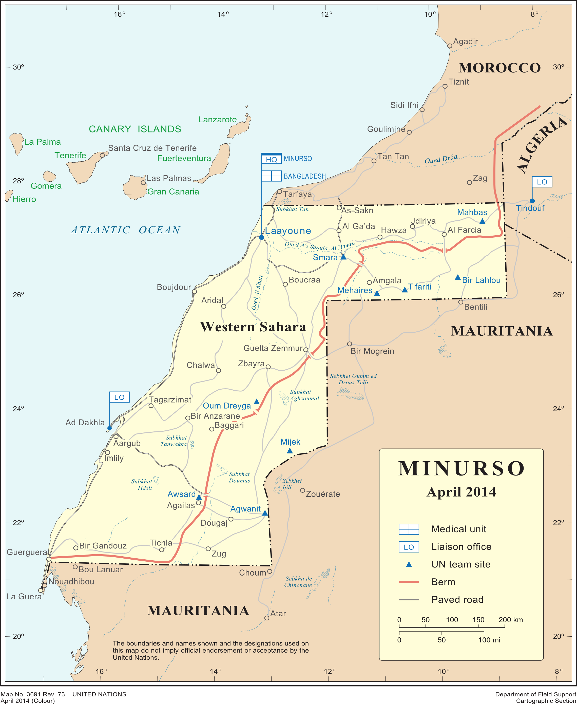
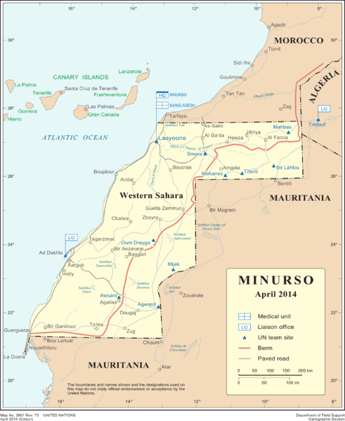
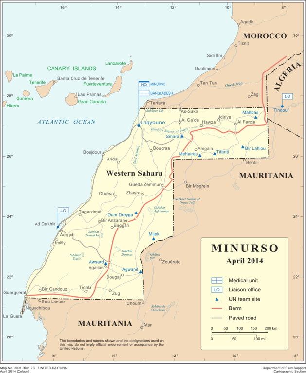
English: Deployment of MINURSO, as of April 2014
Français : Déploiement de la Minurso au Sahara occidental |
| Date | |
| Source | [1], which had not been changed as of Sept 2019 |
| Author | United Nations Cartographic Section |
| Other versions |
|

.png&action=edit§ion=1)
Licensing
[edit].png&action=edit§ion=2)
| This image is a map derived from a United Nations map.
Unless stated otherwise, UN maps are to be considered in the public domain. This applies worldwide. UN maps are, in principle, open source material and you can use them in your work or for making your own map. UN requests however that you delete the UN name, logo and reference number upon any modification to the map. Content of your map will be your responsibility. You can state in your publication, if you wish, something like: based on UN map … (map name, map number, revision number and date). See: Geospatial Information Section. And: Geospatial, location data for a better world. |
 |
File history
Click on a date/time to view the file as it appeared at that time.
| Date/Time | Thumbnail | Dimensions | User | Comment | |
|---|---|---|---|---|---|
| current | 11:29, 17 April 2015 | | 2,278 × 2,779 (973 KB) | Treehill (talk | contribs) | User created page with UploadWizard |
You cannot overwrite this file.
File usage on Commons
The following page uses this file:
File usage on other wikis
The following other wikis use this file:
- Usage on ar.wikipedia.org
- Usage on ca.wikipedia.org
- Usage on el.wikipedia.org
- Usage on en.wikipedia.org
- Usage on fr.wikipedia.org
- Usage on ja.wikipedia.org
- Usage on nl.wikipedia.org
- Usage on pl.wikipedia.org
- Usage on ru.wikipedia.org
- Usage on www.wikidata.org
.png&oldid=686329120)