File:Mailand - 27-45.jpg
Jump to navigation
Jump to search
Size of this preview: 426 × 600 pixels. Other resolutions: 170 × 240 pixels | 341 × 480 pixels | 545 × 768 pixels | 727 × 1,024 pixels | 1,455 × 2,048 pixels | 3,555 × 5,005 pixels.
Original file (3,555 × 5,005 pixels, file size: 3.85 MB, MIME type: image/jpeg)
Captions
Captions
Add a one-line explanation of what this file represents
|
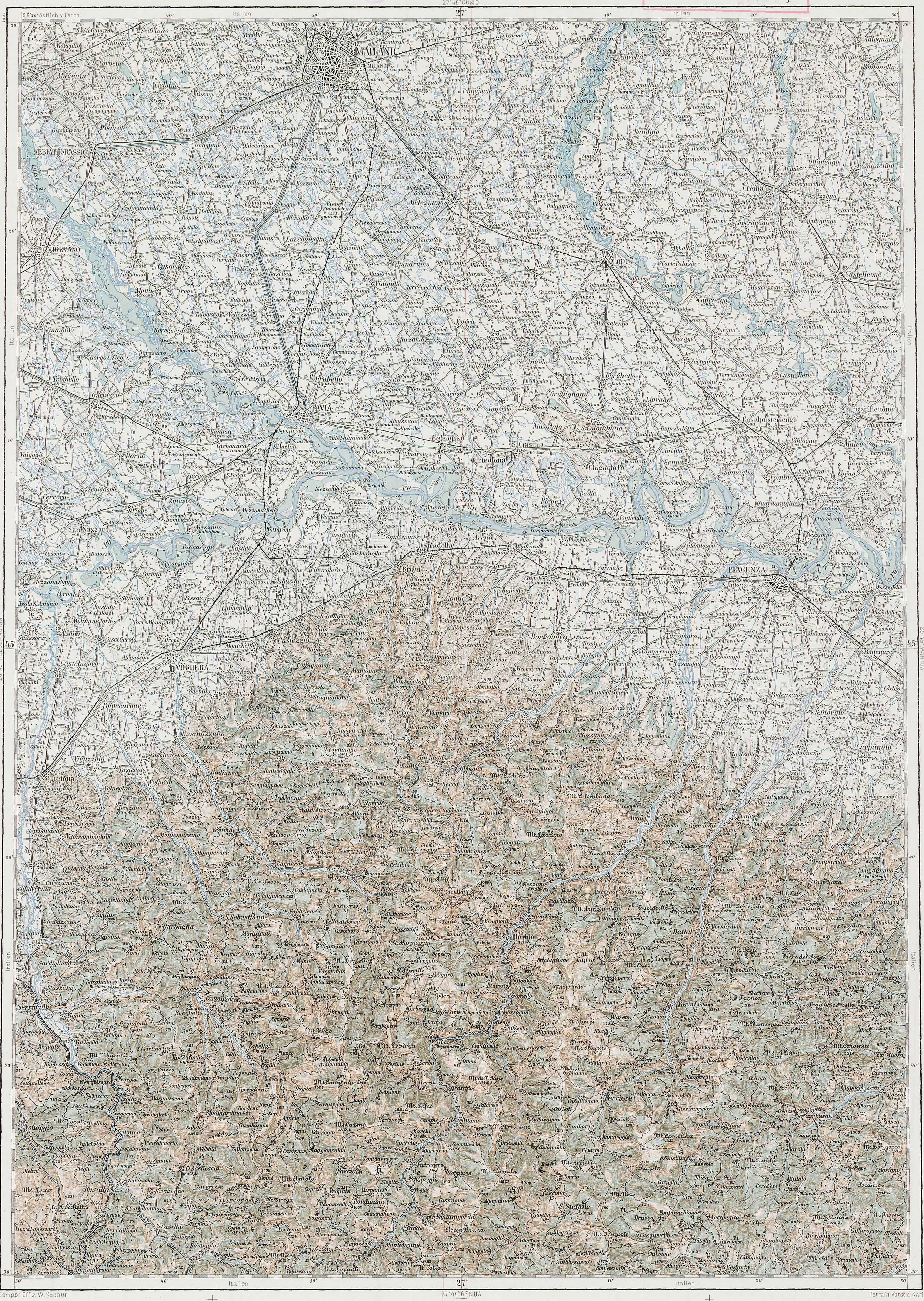
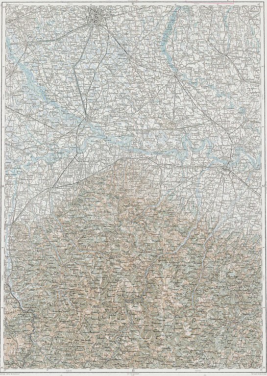
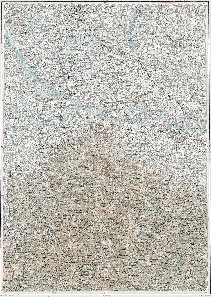
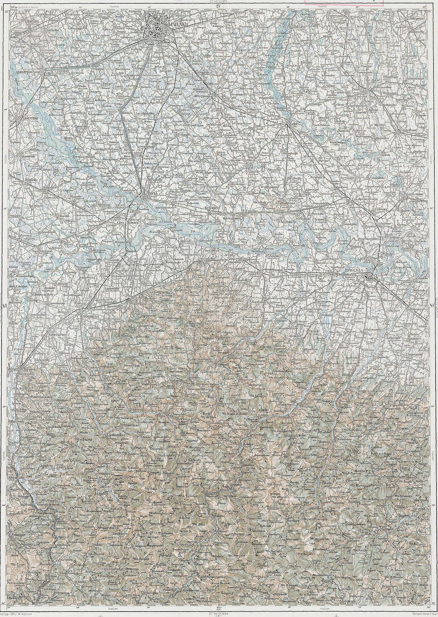
Deutsch: Blatt 27-45 der Generalkarte von Mitteleuropa 1:200.000 der Franzisco-Josephinischen Landesaufnahme, Österreich-Ungarn, ab 1887. Die Blattmitte liegt bei 45° n.Br. und 27° ö.L. (östlich von Ferro, nicht Greenwich!). English: Sheet 27-45 of the General Map of Central Europe, scale 1:200,000, edited 1887 ff. See 3rd Military Mapping Survey of Austria-Hungary for details. The center of the sheet is 45° North, 27° East (east of Ferro, not Greenwich!).
← Nachbarblätter. Klicken Sie auf eine Miniatur, um zu diesem Blatt zu gelangen.
← Neighbouring sheets. Click thumbnail to navigate |


.jpg)
| Description | 3rd Military Mapping Survey of Austria-Hungary - Mailand | ||||
| Date | |||||
| Source | http://lazarus.elte.hu/hun/moterkep.htm - László ZENTAI | ||||
| Author | Military mapping authority of Austria-Hungary | ||||
| Permission (Reusing this file) |
|
||||
File history
Click on a date/time to view the file as it appeared at that time.
| Date/Time | Thumbnail | Dimensions | User | Comment | |
|---|---|---|---|---|---|
| current | 07:09, 10 March 2007 | | 3,555 × 5,005 (3.85 MB) | Szilas (talk | contribs) | == Összefoglaló == 3rd Military Mapping Survey of Austria-Hungary - Mailand Category:Old maps of Austria-Hungary == Licensing == {{PD-old}} |
You cannot overwrite this file.
File usage on Commons
The following 10 pages use this file:
File usage on other wikis
The following other wikis use this file:
- Usage on hu.wikibooks.org