File:Map Asia physical (continental).png
Jump to navigation
Jump to search

Size of this preview: 800 × 461 pixels. Other resolutions: 320 × 184 pixels | 640 × 368 pixels | 1,024 × 590 pixels | 1,280 × 737 pixels | 3,196 × 1,840 pixels.
Original file (3,196 × 1,840 pixels, file size: 13.24 MB, MIME type: image/png)
Captions
Captions
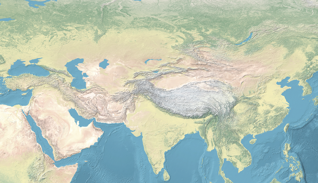
Map Asia physical (continental)
Summary
[edit]| Description |
English: Map Asia physical (continental) |
| Date | |
| Source | |
| Author | naturalearthdata.com, offered to the Public Domain per Terms of Use |
.png)
.png&action=edit§ion=1)
Licensing
[edit].png&action=edit§ion=2)
This file is licensed under the Creative Commons Attribution-Share Alike 4.0 International license.
- You are free:
- to share – to copy, distribute and transmit the work
- to remix – to adapt the work
- Under the following conditions:
- attribution – You must give appropriate credit, provide a link to the license, and indicate if changes were made. You may do so in any reasonable manner, but not in any way that suggests the licensor endorses you or your use.
- share alike – If you remix, transform, or build upon the material, you must distribute your contributions under the same or compatible license as the original.
File history
Click on a date/time to view the file as it appeared at that time.
| Date/Time | Thumbnail | Dimensions | User | Comment | |
|---|---|---|---|---|---|
| current | 15:57, 4 February 2023 | | 3,196 × 1,840 (13.24 MB) | पाटलिपुत्र (talk | contribs) | less ice... |
| 15:53, 4 February 2023 |  | 3,196 × 2,013 (14.24 MB) | पाटलिपुत्र (talk | contribs) | Uploaded a work by Ktrinko from {{extracted from|File:Eckert4.jpg}} with UploadWizard |
You cannot overwrite this file.
File usage on Commons
The following 72 pages use this file:
- File:ANEA map.png
- File:ANEA map日本語.jpg
- File:ASEA map.png
- File:Ancient Northeast Asians (area map).png
- File:Bactrian Kingdom map.png
- File:Continental Asia date mask.png
- File:Continental Asia in 2000 BCE.png
- File:Continental Asia in 800 CE.png
- File:Genetic admixture of modern Turkic-speaking populations.png
- File:Gupta Empire map.png
- File:Huns in Eurasia.png
- File:Influences on Chinese metallurgy.png
- File:Map of Afanasievo Culture.png
- File:Map of Andronovo culture.png
- File:Map of Mongolia (Early Iron Age).png
- File:Map of Mongolia (Early Iron Age)日本語.jpg
- File:Map of Safavid Empire circa 1588.png
- File:Map of Safavid Empire circa 1630.png
- File:Map of Saka Cultures.png
- File:Map of Yarkent Khanate.png
- File:Map of continental Asia (physical, cropped).png
- File:Map of the Ancient North Eurasians.png
- File:Map of the Ancient Northeast Asians.png
- File:Map of the Ancient Northeast Asians日本語.jpg
- File:Map of the Ancient Paleo-Siberians.png
- File:Map of the Ancient Paleo-Siberians日本語.jpg
- File:Map of the Ayyubids.png
- File:Map of the Buyids.png
- File:Map of the Chemurchek culture.png
- File:Map of the Deer Stones.png
- File:Map of the Durrani Empire.png
- File:Map of the Dzungar Khanate (18th century).png
- File:Map of the Eurasian steppe belt.png
- File:Map of the Ghurid Empire in 1215.png
- File:Map of the Hephthalite Empire circa 500.png
- File:Map of the Jalayerids.png
- File:Map of the Jin dynasty (1115–1234).png
- File:Map of the Jin dynasty (266–420).png
- File:Map of the Kalmyk Khanate.png
- File:Map of the Karasuk culture.png
- File:Map of the Kazakh Khanate.png
- File:Map of the Khanate of Bukhara.png
- File:Map of the Khoshut Khanate.png
- File:Map of the Kidarites.png
- File:Map of the Kidarites (cropped).png
- File:Map of the Kingdom of Khotan.png
- File:Map of the Kushan Empire (large).png
- File:Map of the Kyrgyz Khanate 1500.png
- File:Map of the Kyrgyz Khanate 1512.png
- File:Map of the Kyrgyz Khanate 1600.png
- File:Map of the Kyrgyz Khanate in 1758.png
- File:Map of the Ming dynasty (1500).png
- File:Map of the Mughal Empire circa 1600.png
- File:Map of the Northern Yuan.png
- File:Map of the Oirats Confederation.png
- File:Map of the Pala Empire in Asia.png
- File:Map of the Qajar Empire.png
- File:Map of the Qin Empire in 221 BCE.png
- File:Map of the Rouran.png
- File:Map of the Sakas.png
- File:Map of the Sauromatians.png
- File:Map of the Seljuk Empire.png
- File:Map of the Slab Grave culture.png
- File:Map of the Sui Dynasty.png
- File:Map of the Tang Empire and Central Asia Protectorates circa 660 CE.png
- File:Map of the Tang Empire and its Protectorates circa 660 CE.png
- File:Map of the Tang dynasty (900).png
- File:Map of the Tarim Mummies.png
- File:Map of the Xianbei Empire.png
- File:Map of the Xiongnu, circa 150 BCE.png
- File:Map of the Yenisei Kyrgyz Khaganate.png
- File:Zengid territory.png
.png)
.png)
%E6%97%A5%E6%9C%AC%E8%AA%9E.jpg)
.png)
.png)
.png)
.png)
.png)
.png)
.png)
.png)
File usage on other wikis
The following other wikis use this file:
- Usage on en.wikipedia.org
- Durrani Empire
- Göktürks
- Khazars
- Qing dynasty
- Seleucid Empire
- Yerevan
- Sui dynasty
- Qin dynasty
- Zhou dynasty
- Turkic peoples
- Pannonian Avars
- Sumer
- Jin dynasty (266–420)
- Jin dynasty (1115–1234)
- Scythians
- Fatimid Caliphate
- Talk:Jin dynasty (266–420)
- Western Xia
- Xiongnu
- Northern Wei
- Pazyryk burials
- Almaty
- Wusun
- Saka
- Khanate of Sibir
- Kara-Khanid Khanate
- Tocharians
- Tian Shan
- Ayyubid dynasty
- Zengid dynasty
- Khmer Empire
- Gupta Empire
- Middle Kingdom of Egypt
- Delhi Sultanate
- Dzungar Khanate
- Hephthalites
- Yuezhi
- Rouran Khaganate
- Shanidar Cave
- Kushan Empire
- Ubaid period
- Zhang Qian
- Southern Qi
- Chen dynasty
- Northern Liang
- Nanzhao
- Dvaravati
- Liangzhu culture
- Maurya Empire
- Ghaznavids
View more global usage of this file.
.png)
.png&oldid=744082511)