File:Map of Belarussian license plate codes.png
Jump to navigation
Jump to search
Size of this preview: 671 × 599 pixels. Other resolutions: 269 × 240 pixels | 538 × 480 pixels | 860 × 768 pixels | 1,147 × 1,024 pixels | 2,000 × 1,786 pixels.
Original file (2,000 × 1,786 pixels, file size: 401 KB, MIME type: image/png)
Captions
Captions
Add a one-line explanation of what this file represents
Summary
[edit]
| Description |
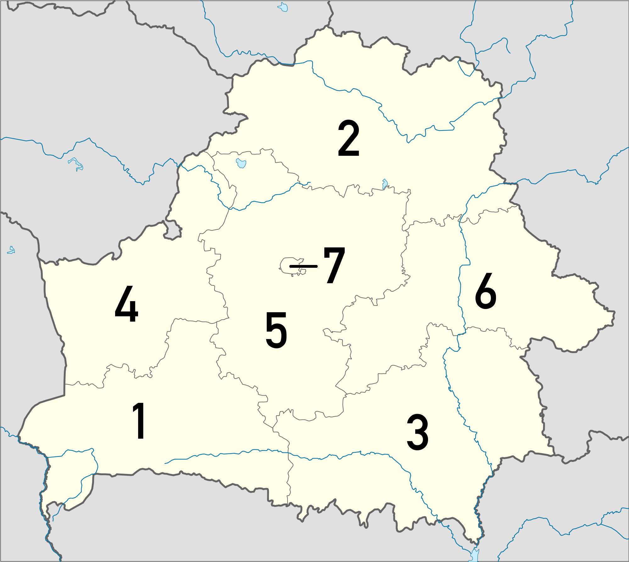
Deutsch: Karte mit Regionskürzeln der Kfz-Kennzeichen von belarussischen Quadratische Plattkarte, N-S-Streckung 170 %. Geographische Begrenzung der Karte: * N: 56.4° N * S: 51.1° N * W: 22.9° O * O: 33.0° O English: Map with region codes of the license plates of Belarus Equirectangular projection, N/S stretching 170 %. Geographic limits of the map: * N: 56.4° N * S: 51.1° N * W: 22.9° E * E: 33.0° E |
| Date | (UTC) |
| Source |
This file was derived from: Belarus location map.svg: |
| Author |
|
| This is a retouched picture, which means that it has been digitally altered from its original version. Modifications: license plates codes added. The original can be viewed here: Belarus location map.svg:
|
Licensing
[edit]
I, the copyright holder of this work, hereby publish it under the following licenses:
This file is licensed under the Creative Commons Attribution-Share Alike 3.0 Unported license.
- You are free:
- to share – to copy, distribute and transmit the work
- to remix – to adapt the work
- Under the following conditions:
- attribution – You must give appropriate credit, provide a link to the license, and indicate if changes were made. You may do so in any reasonable manner, but not in any way that suggests the licensor endorses you or your use.
- share alike – If you remix, transform, or build upon the material, you must distribute your contributions under the same or compatible license as the original.

|
Permission is granted to copy, distribute and/or modify this document under the terms of the GNU Free Documentation License, Version 1.2 or any later version published by the Free Software Foundation; with no Invariant Sections, no Front-Cover Texts, and no Back-Cover Texts. A copy of the license is included in the section entitled GNU Free Documentation License. |
You may select the license of your choice.
Original upload log
[edit]
This image is a derivative work of the following images:
- File:Belarus_location_map.svg licensed with Cc-by-sa-3.0, GFDL
- 2010-08-30T18:30:41Z Виктор В 1628x1454 (167351 Bytes) Попытка №2
- 2010-08-30T18:28:24Z Виктор В 1628x1454 (167278 Bytes) +реки
- 2008-09-05T17:20:26Z NordNordWest 1628x1454 (206898 Bytes) size correction
- 2008-07-04T16:09:18Z NordNordWest 814x727 (201422 Bytes)
- 2008-07-04T15:59:03Z NordNordWest 814x684 (201188 Bytes) {{Information |Description= {{de|Positionskarte von [[:de:Weißrussland|Weißrussland]]}} Quadratische Plattkarte, N-S-Streckung 160 %. Geographische Begrenzung der Karte: * N: 56.4° N * S: 51.1° N * W: 22.9° O * O: 33.0°
Uploaded with derivativeFX
File history
Click on a date/time to view the file as it appeared at that time.
| Date/Time | Thumbnail | Dimensions | User | Comment | |
|---|---|---|---|---|---|
| current | 08:06, 28 April 2012 | | 2,000 × 1,786 (401 KB) | TheFlyingDutchman (talk | contribs) | == {{int:filedesc}} == {{Information |Description={{de|Karte mit Regionskürzeln der Kfz-Kennzeichen von Weißrussland}} Quadratische Plattkarte, N-S-Streckung 170 %. Geographische Begrenzung der Karte: * N: 56.4° N * S: 51.1° N... |
You cannot overwrite this file.
File usage on Commons
There are no pages that use this file.
File usage on other wikis
The following other wikis use this file:
- Usage on de.wikipedia.org
- Usage on en.wikipedia.org
- Usage on it.wikipedia.org
- Usage on ru.wikipedia.org
- Usage on sl.wikipedia.org
- Usage on sr.wikipedia.org