File:Map of New Brunswick highlighting Madawaska County.png
Jump to navigation
Jump to search
Size of this preview: 609 × 599 pixels. Other resolutions: 244 × 240 pixels | 488 × 480 pixels | 1,000 × 984 pixels.
Original file (1,000 × 984 pixels, file size: 44 KB, MIME type: image/png)
Captions
Captions
Add a one-line explanation of what this file represents

|
This locator map image could be re-created using vector graphics as an SVG file. This has several advantages; see Commons:Media for cleanup for more information. If an SVG form of this image is available, please upload it and afterwards replace this template with
{{vector version available|new image name}}.
It is recommended to name the SVG file “Map of New Brunswick highlighting Madawaska County.svg”—then the template Vector version available (or Vva) does not need the new image name parameter. |
Summary
[edit]
| Description |
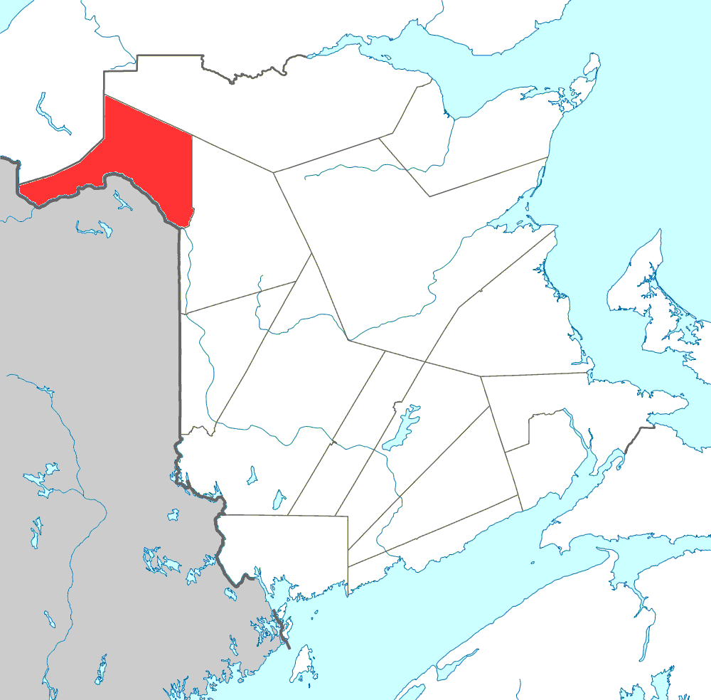
English: Map of New Brunswick highlighting Madawaska County |
| Date | 29 January 2010 (original upload date) |
| Source |
This file was derived from: Canada New Brunswick location map.svg: |
| Author | NordNordWest |
Licensing
[edit]
NordNordWest, the copyright holder of this work, hereby publishes it under the following license:
This file is licensed under the Creative Commons Attribution-Share Alike 3.0 Unported license.
Attribution: NordNordWest
- You are free:
- to share – to copy, distribute and transmit the work
- to remix – to adapt the work
- Under the following conditions:
- attribution – You must give appropriate credit, provide a link to the license, and indicate if changes were made. You may do so in any reasonable manner, but not in any way that suggests the licensor endorses you or your use.
- share alike – If you remix, transform, or build upon the material, you must distribute your contributions under the same or compatible license as the original.
Original upload log
[edit]
This image is a derivative work of the following images:
- File:Canada_New_Brunswick_location_map.svg licensed with Cc-by-sa-3.0
- 2009-09-28T14:04:56Z NordNordWest 1411x1388 (511824 Bytes)
- 2009-08-25T17:55:19Z NordNordWest 1411x1388 (506982 Bytes) {{int:filedesc}} {{Information |Description= {{de|Positionskarte von [[:de:New Brunswick|New Brunswick]], [[:de:Kanada|Kanada]]}} Quadratische Plattkarte, N-S-Streckung 145 %. Geographische Begrenzung der Karte: * N: 48.3° N
The original description page was here. All following user names refer to en.wikipedia.
- 2010-01-29 17:37 Canadaolympic989 1000×984× (245794 bytes) Madawaska County, New Brunswick map
File history
Click on a date/time to view the file as it appeared at that time.
| Date/Time | Thumbnail | Dimensions | User | Comment | |
|---|---|---|---|---|---|
| current | 12:13, 19 September 2011 | | 1,000 × 984 (44 KB) | McZusatz (talk | contribs) | optimized |
| 02:50, 5 December 2010 |  | 1,000 × 984 (240 KB) | File Upload Bot (Magnus Manske) (talk | contribs) | {{BotMoveToCommons|en.wikipedia|year={{subst:CURRENTYEAR}}|month={{subst:CURRENTMONTHNAME}}|day={{subst:CURRENTDAY}}}} {{Information |Description={{en|Public domain map of New Brunswick created by en:User:Plasma east with data courtesy of [http://g |
You cannot overwrite this file.
File usage on Commons
The following 2 pages use this file:
File usage on other wikis
The following other wikis use this file:
- Usage on bn.wikipedia.org
- Usage on de.wikipedia.org
- Usage on en.wikipedia.org
- Usage on es.wikipedia.org
- Usage on eu.wikipedia.org
- Usage on fr.wikipedia.org
- Usage on ga.wikipedia.org
- Usage on it.wikipedia.org
- Usage on ja.wikipedia.org
- Usage on pl.wikipedia.org
- Usage on pnb.wikipedia.org
- Usage on pt.wikipedia.org
- Usage on ru.wikipedia.org
- Usage on uk.wikipedia.org
- Usage on www.wikidata.org