File:Map of Ukraine political Oblast Dnipropetrowsk.png
Jump to navigation
Jump to search
Size of this preview: 800 × 559 pixels. Other resolutions: 320 × 224 pixels | 640 × 447 pixels | 1,024 × 715 pixels | 1,181 × 825 pixels.
Original file (1,181 × 825 pixels, file size: 39 KB, MIME type: image/png)
Captions
Captions
Add a one-line explanation of what this file represents
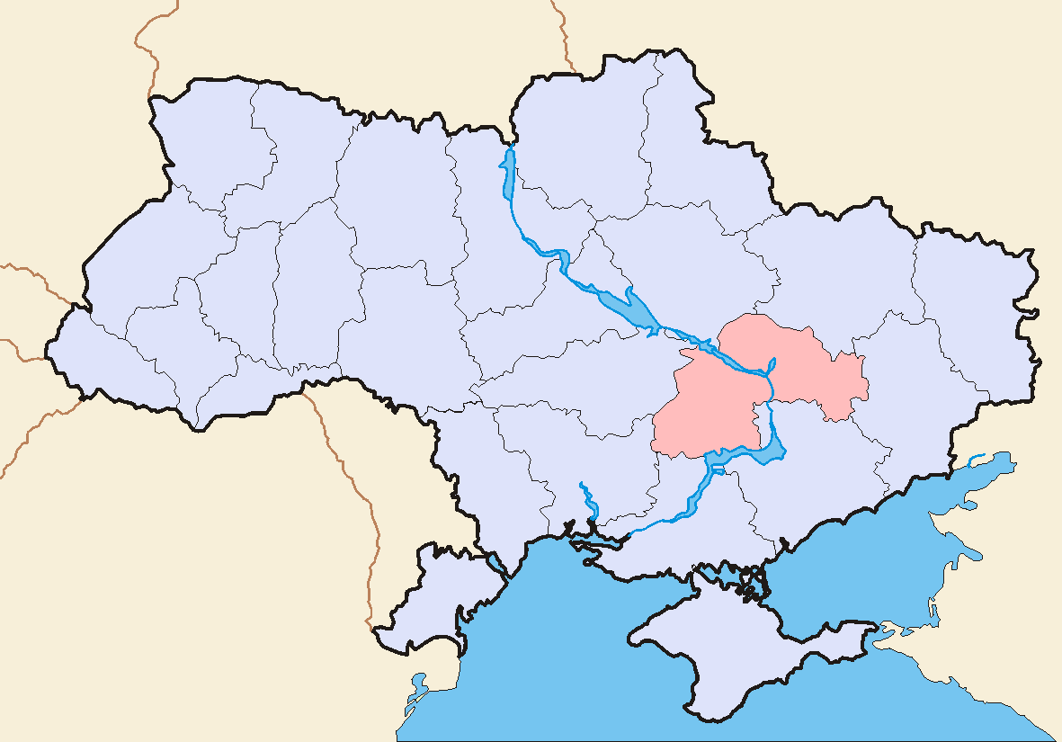
| Description | Image (Map) made by Sven Teschke, Germany --Steschke 15:03, 7 Nov 2004 (UTC) |
| Date | (UTC) |
| Source | |
| Author |
|
| This is a retouched picture, which means that it has been digitally altered from its original version. Modifications: old version. The original can be viewed here: Map of Ukraine political simple Oblast Dnipropetrowsk.png:
|
I, the copyright holder of this work, hereby publish it under the following licenses:
This file is licensed under the Creative Commons Attribution-Share Alike 1.0 Generic license.
- You are free:
- to share – to copy, distribute and transmit the work
- to remix – to adapt the work
- Under the following conditions:
- attribution – You must give appropriate credit, provide a link to the license, and indicate if changes were made. You may do so in any reasonable manner, but not in any way that suggests the licensor endorses you or your use.
- share alike – If you alter, transform, or build upon this work, you must distribute the resulting work under the same license as the original.
| This file is licensed under the Creative Commons Attribution-Share Alike 3.0 Unported license. | ||
| ||
| This licensing tag was added to this file as part of the GFDL licensing update. |

|
Permission is granted to copy, distribute and/or modify this document under the terms of the GNU Free Documentation License, Version 1.2 or any later version published by the Free Software Foundation; with no Invariant Sections, no Front-Cover Texts, and no Back-Cover Texts. A copy of the license is included in the section entitled GNU Free Documentation License. |
You may select the license of your choice.
Original upload log
[edit]
This image is a derivative work of the following images:
- File:Map_of_Ukraine_political_simple_Oblast_Dnipropetrowsk.png licensed with Cc-by-sa-1.0, Cc-by-sa-3.0-migrated, GFDL
Uploaded with derivativeFX
File history
Click on a date/time to view the file as it appeared at that time.
| Date/Time | Thumbnail | Dimensions | User | Comment | |
|---|---|---|---|---|---|
| current | 00:19, 14 June 2015 | | 1,181 × 825 (39 KB) | Andrew J.Kurbiko (talk | contribs) | Common map for ukraine |
| 14:30, 30 January 2010 |  | 709 × 495 (195 KB) | On tour (talk | contribs) | {{Information |Description=Image (Map) made by Sven Teschke, Germany --Steschke 15:03, 7 Nov 2004 (UTC) |Source=*File:Map_of_Ukraine_political_simple_Oblast_Dnipropetrowsk.png |Date=2010-01-30 14:26 (UTC) |Author=*[[:File:Map_of_Uk |
You cannot overwrite this file.
File usage on Commons
There are no pages that use this file.
File usage on other wikis
The following other wikis use this file:
- Usage on vi.wikipedia.org