File:Map of region of Sardinia, Italy, with provinces-az.png
Jump to navigation
Jump to search
Size of this preview: 311 × 599 pixels. Other resolutions: 124 × 240 pixels | 531 × 1,023 pixels.
Original file (531 × 1,023 pixels, file size: 113 KB, MIME type: image/png)
Captions
Captions
Add a one-line explanation of what this file represents

|
File:Map of region of Sardinia, Italy, with provinces-az.svg is a vector version of this file. It should be used in place of this PNG file when not inferior.
File:Map of region of Sardinia, Italy, with provinces-az.png → File:Map of region of Sardinia, Italy, with provinces-az.svg
For more information, see Help:SVG. |
 |
Summary
[edit]
| Description |
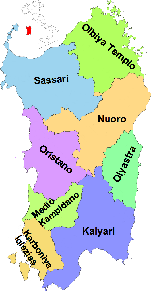
Azərbaycanca: İtaliyanın Sardiniya adasının əyalətləri |
| Date | |
| Source | Own work |
| Author | Vonvikken; Dervate work:MrArifnajafov |
| Other versions |
    |
This vector image includes elements that have been taken or adapted from this file:
This vector image includes elements that have been taken or adapted from this file:
Licensing
[edit]
| This work has been released into the public domain by its author, Vonvikken. This applies worldwide. In some countries this may not be legally possible; if so: |
File history
Click on a date/time to view the file as it appeared at that time.
| Date/Time | Thumbnail | Dimensions | User | Comment | |
|---|---|---|---|---|---|
| current | 14:14, 10 June 2012 | | 531 × 1,023 (113 KB) | MrArifnajafov (talk | contribs) |
You cannot overwrite this file.
File usage on Commons
The following page uses this file: