File:Mapa mut dels Paisos Catalans.svg
Jump to navigation
Jump to search

Size of this PNG preview of this SVG file: 595 × 599 pixels. Other resolutions: 238 × 240 pixels | 477 × 480 pixels | 763 × 768 pixels | 1,017 × 1,024 pixels | 2,034 × 2,048 pixels | 881 × 887 pixels.
Original file (SVG file, nominally 881 × 887 pixels, file size: 409 KB)
Captions
Captions
Add a one-line explanation of what this file represents
| Description |
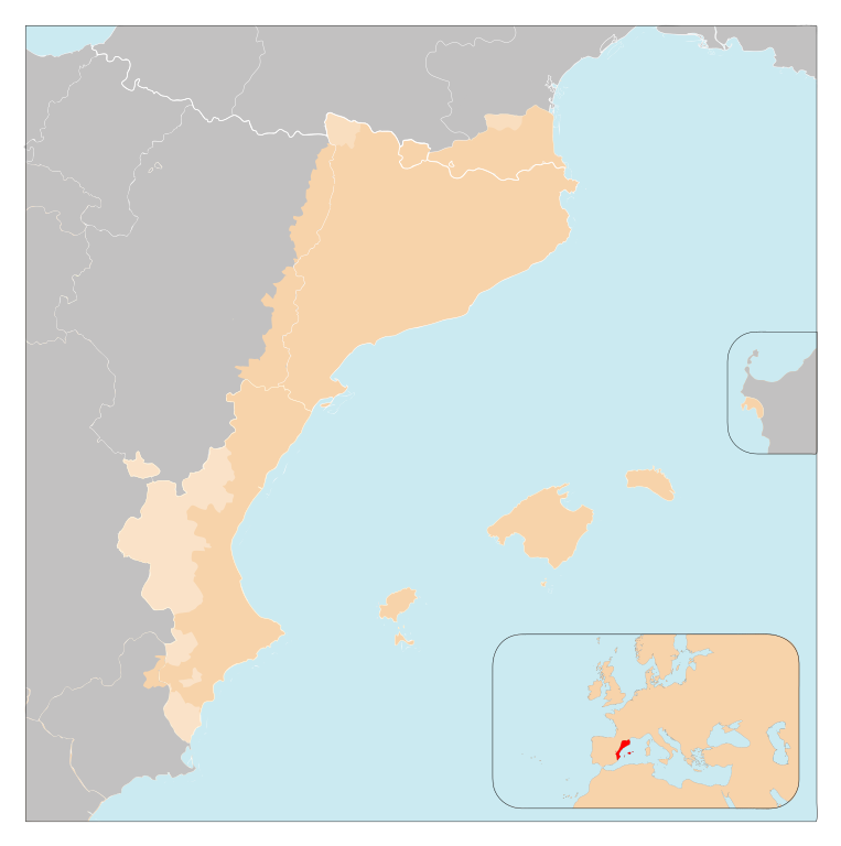
Català: Països de parla catalana
English: Catalan-speaking countries |
| Date | (UTC) |
| Source | |
| Author |
|
| Permission (Reusing this file) |
This file is licensed under the Creative Commons Attribution-Share Alike 3.0 Unported license.
|
| This is a retouched picture, which means that it has been digitally altered from its original version. The original can be viewed here: Paisos catalans.svg:
|
Original upload log
[edit]
This image is a derivative work of the following images:
- File:Paisos_catalans.svg licensed with PD-self
- 2009-06-14T18:46:58Z Mutxamel 1164x1176 (1579751 Bytes) improved, Fenolheda added
- 2009-01-08T18:30:54Z Mutxamel 1176x1179 (1408989 Bytes) {{Information |Description={{en|1=Catalan-speaking countries}} {{ca|1=Països de parla catalana}} |Source={{own}} |Author=[[User:Mutxamel|Mutxamel]] |Date=08/01/09 |Permission= |other_versions= }}
- File:Mapa_Euroregió_Pirineus_Mediterrània.svg licensed with Cc-by-sa-3.0, GFDL
- 2007-09-23T00:39:33Z Ebrenc 500x500 (107115 Bytes) idem
- 2006-12-21T18:58:43Z Willtron 500x500 (107034 Bytes) {{an|Mapa d'a Eurorrechión Perinés Mediterranio (bersión en catalán)}} {{ca|Mapa de la Euroregió Pirineus Mediterrània (versió en català)}} {{willtroncreated}} [[Category:Aragon]] [[Category:Balearic Islands]] [[Cat
- 2006-12-21T15:16:21Z Willtron 500x500 (107032 Bytes) {{an|Mapa d'a Eurorrechión Perinés Mediterranio (bersión en catalán)}} {{ca|Mapa de la Euroregió Pirineus Mediterrània (versió en català)}} {{willtroncreated}} [[Category:Aragon]] [[Category:Balearic Islands]] [[Cat
Uploaded with derivativeFX
File history
Click on a date/time to view the file as it appeared at that time.
| Date/Time | Thumbnail | Dimensions | User | Comment | |
|---|---|---|---|---|---|
| current | 11:14, 17 May 2010 | | 881 × 887 (409 KB) | DieBuche (talk | contribs) | svg fix |
| 16:36, 27 December 2009 | No thumbnail | (929 KB) | Martorell (talk | contribs) | {{Information |Description={{ca|1=Mapa mut dels Països Catalans}} |Source={{own}} |Author=Martorell |Date= |Permission= |other_versions= }} |
You cannot overwrite this file.
File usage on Commons
The following 2 pages use this file:
File usage on other wikis
The following other wikis use this file:
- Usage on ca.wikipedia.org
- Usage on lfn.wikipedia.org
- Usage on pt.wikipedia.org