File:Mapa territorios España Canarias.svg
Jump to navigation
Jump to search

Size of this PNG preview of this SVG file: 800 × 535 pixels. Other resolutions: 320 × 214 pixels | 640 × 428 pixels | 1,024 × 685 pixels | 1,280 × 856 pixels | 2,560 × 1,712 pixels.
Original file (SVG file, nominally 800 × 535 pixels, file size: 996 KB)
Captions
Captions
Add a one-line explanation of what this file represents
Summary
[edit]
| Description |
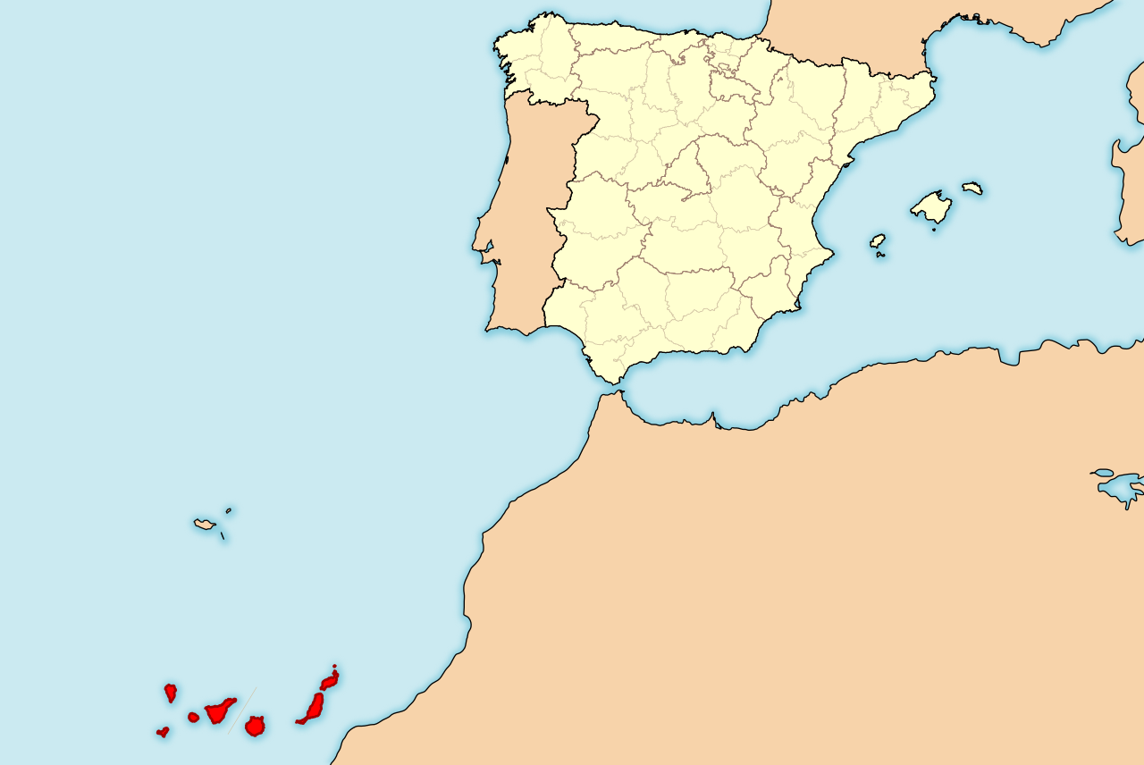
English: Map of Spain with Canary Islands highlighted. Español: Localización de Canarias respecto a España. |
| Date | |
| Source | Own work |
| Author | HansenBCN |
| Other versions | Derivative works of this file: Spain Canary Islands location map with Spain.png |
Licensing
[edit]
I, the copyright holder of this work, hereby publish it under the following licenses:

|
Permission is granted to copy, distribute and/or modify this document under the terms of the GNU Free Documentation License, Version 1.2 or any later version published by the Free Software Foundation; with no Invariant Sections, no Front-Cover Texts, and no Back-Cover Texts. A copy of the license is included in the section entitled GNU Free Documentation License. |
This file is licensed under the Creative Commons Attribution-Share Alike 4.0 International, 3.0 Unported, 2.5 Generic, 2.0 Generic and 1.0 Generic license.
- You are free:
- to share – to copy, distribute and transmit the work
- to remix – to adapt the work
- Under the following conditions:
- attribution – You must give appropriate credit, provide a link to the license, and indicate if changes were made. You may do so in any reasonable manner, but not in any way that suggests the licensor endorses you or your use.
- share alike – If you remix, transform, or build upon the material, you must distribute your contributions under the same or compatible license as the original.
You may select the license of your choice.
File history
Click on a date/time to view the file as it appeared at that time.
| Date/Time | Thumbnail | Dimensions | User | Comment | |
|---|---|---|---|---|---|
| current | 19:15, 1 September 2011 | | 800 × 535 (996 KB) | Ras67 (talk | contribs) | cropped |
| 15:35, 25 April 2008 |  | 975 × 653 (1.4 MB) | HansenBCN (talk | contribs) | +corrección | |
| 15:32, 25 April 2008 |  | 975 × 653 (1.4 MB) | HansenBCN (talk | contribs) | corrección del sombreado de costas | |
| 15:28, 25 April 2008 |  | 975 × 653 (1.4 MB) | HansenBCN (talk | contribs) | == Summary == {{Information |Description=Ejemplo de mapas de localización para España, ampliando la visión a las Islas Canarias. Los colores de esta versión se ajustan a otros mapas para Wikipedia, recomendados por el ''[[Wikipedia:WikiProject Maps|Wi |
You cannot overwrite this file.
File usage on Commons
The following 4 pages use this file:
File usage on other wikis
The following other wikis use this file:
- Usage on als.wikipedia.org
- Usage on ar.wikipedia.org
- Usage on arz.wikipedia.org
- Usage on ay.wikipedia.org
- Usage on ce.wikipedia.org
- Usage on da.wikipedia.org
- Usage on de.wikibooks.org
- Usage on dsb.wikipedia.org
- Usage on en.wikipedia.org
- Usage on en.wikinews.org
- Usage on es.wikipedia.org
- Usage on es.wikinews.org
- Usage on fr.wikipedia.org
- Usage on hi.wikipedia.org
- Usage on hsb.wikipedia.org
- Usage on id.wikipedia.org
- Usage on ja.wikipedia.org
- Usage on li.wikipedia.org
- Usage on lv.wikipedia.org
- Usage on nds-nl.wikipedia.org
- Usage on nl.wikipedia.org
- Usage on nl.wiktionary.org
- Usage on pl.wiktionary.org
- Usage on pnb.wikipedia.org
- Usage on sco.wikipedia.org
- Usage on sk.wikipedia.org
- Usage on su.wikipedia.org
- Usage on ta.wikipedia.org
- Usage on tr.wikipedia.org
- Usage on uk.wikipedia.org
- Usage on ur.wikipedia.org
- Usage on wa.wikipedia.org
- Usage on yi.wikipedia.org
- Usage on yo.wikipedia.org
- Usage on zh-yue.wikipedia.org