File:MapsStandar.png
Jump to navigation
Jump to search
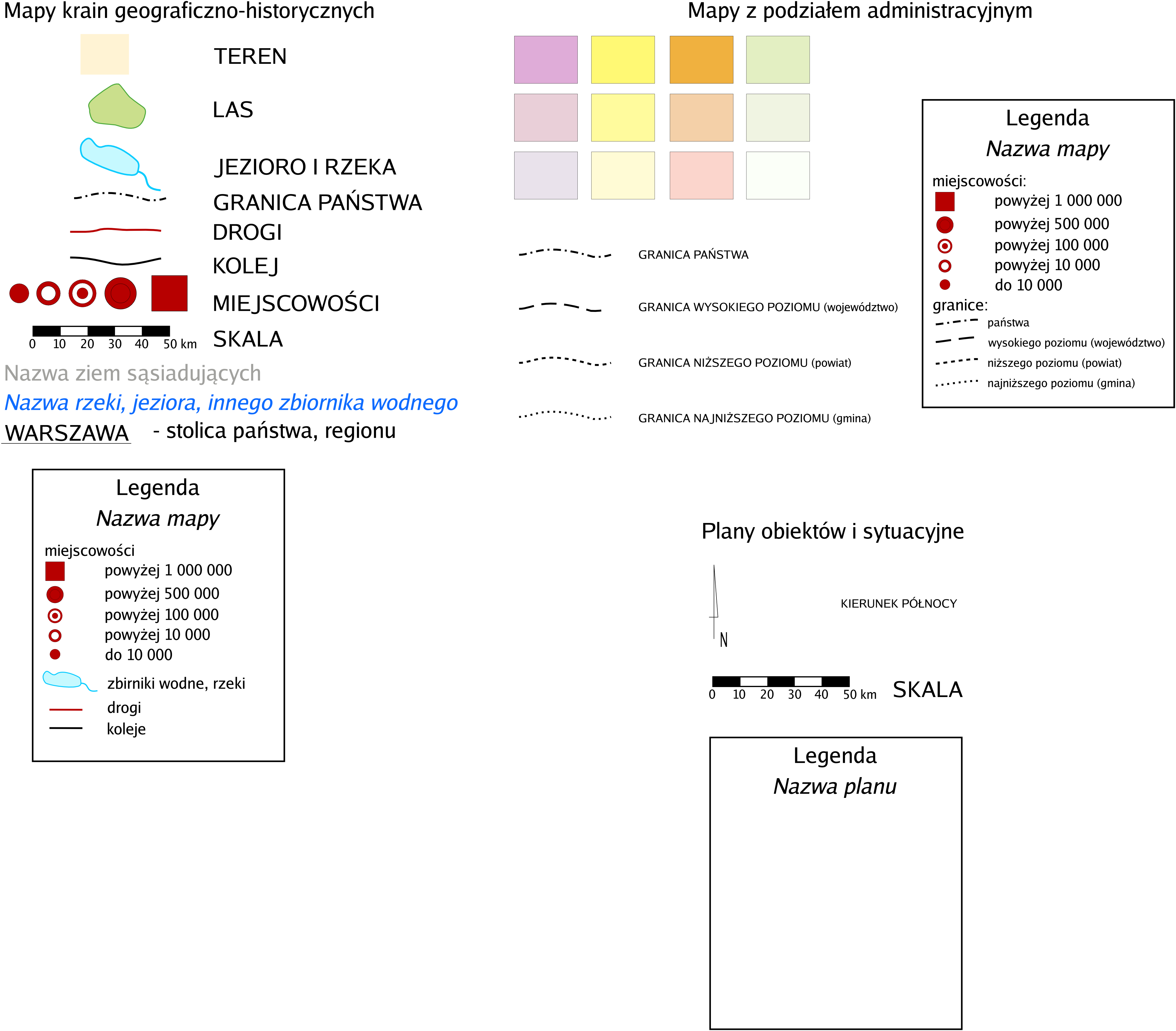
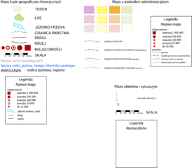
Size of this preview: 684 × 600 pixels. Other resolutions: 274 × 240 pixels | 548 × 480 pixels | 876 × 768 pixels | 1,168 × 1,024 pixels | 2,336 × 2,048 pixels | 4,000 × 3,507 pixels.
Original file (4,000 × 3,507 pixels, file size: 546 KB, MIME type: image/png)
Captions
Captions
Add a one-line explanation of what this file represents

|
File:WzorMapPL.svg is a vector version of this file. It should be used in place of this PNG file when not inferior.
File:MapsStandar.png → File:WzorMapPL.svg
For more information, see Help:SVG. |
 |
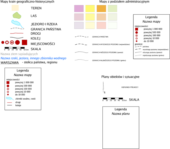
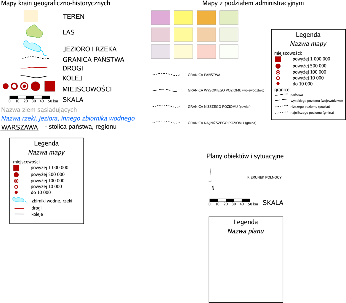
Piotr Jaworski, PioM EN DE PL 8 July 2005 17:18 (UTC), POLAND/Poznań;
Polski: Zalecenia do formatu map.
English: Maps' elements recommendation on Polish Wikipedia
| I, the copyright holder of this work, release this work into the public domain. This applies worldwide. In some countries this may not be legally possible; if so: I grant anyone the right to use this work for any purpose, without any conditions, unless such conditions are required by law. |
File history
Click on a date/time to view the file as it appeared at that time.
| Date/Time | Thumbnail | Dimensions | User | Comment | |
|---|---|---|---|---|---|
| current | 17:18, 8 July 2005 | | 4,000 × 3,507 (546 KB) | Piom (talk | contribs) | Piotr Jaworski, ~~~~, POLAND/Poznań;<br> {{pl}} Zalecenia do formatu map.<br> {{en}} Maps' elements recommendation on Polish Wikipedia<br> {{PD}} |
You cannot overwrite this file.
File usage on Commons
The following page uses this file:
File usage on other wikis
The following other wikis use this file:
- Usage on pl.wikipedia.org