File:Mattheus Seuter, Ducatus Teschenensis.jpg
Jump to navigation
Jump to search

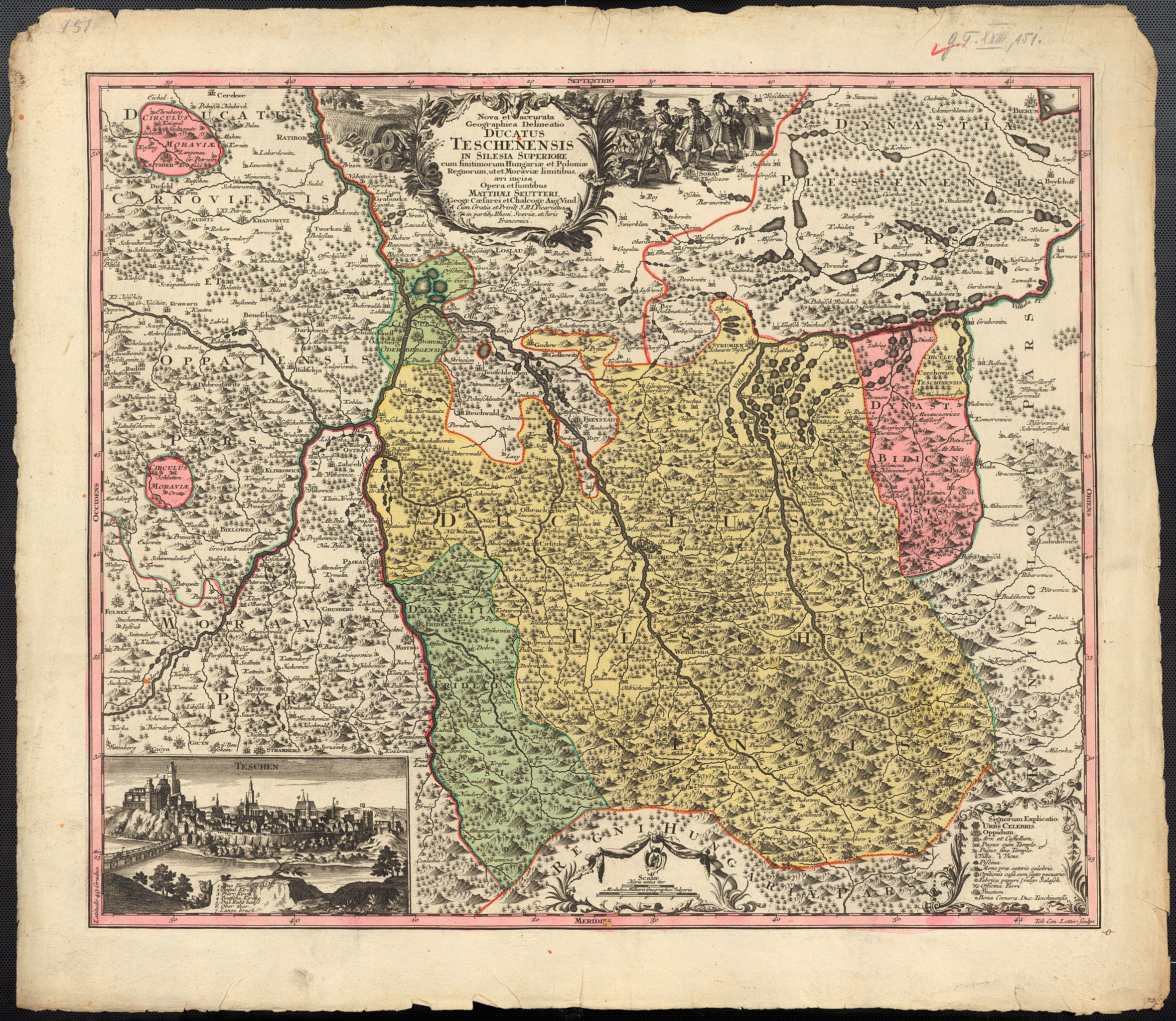
Size of this preview: 691 × 600 pixels. Other resolutions: 277 × 240 pixels | 553 × 480 pixels | 885 × 768 pixels | 1,180 × 1,024 pixels | 2,360 × 2,048 pixels | 7,911 × 6,866 pixels.
Original file (7,911 × 6,866 pixels, file size: 15.02 MB, MIME type: image/jpeg)
Captions
Captions
Add a one-line explanation of what this file represents
| Warning | The original file is very high-resolution. It might not load properly or could cause your browser to freeze when opened at full size. |
|---|
Summary
[edit]| Description |
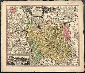
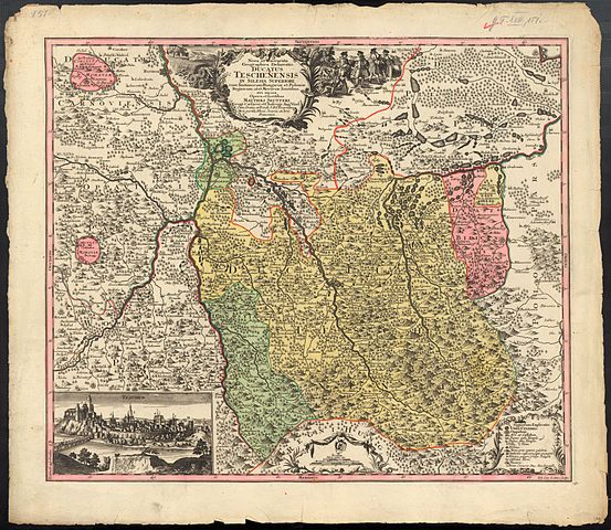
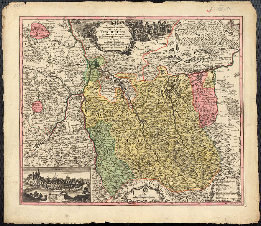
English: 17th/18th century map of Duchy of Teschen by Matthäus Seutter
Polski: 17/18-to wieczna mapa Księstwa Cieszyńskiego autorstwa Mattheusa Seutera
Latina: Seuter, Mattheus: Nova et accurata Geographica Delineatio Ducatus Teschenensis in Silesia Superiore cum finitimorum Hungariae et Poloniae Regnorum,ut et Moraviae limitibus aeri incisa opera et sumptibus Matthaei Seutteri ... Aug. Vind. Tob. Conr. Lotter sculps. |
|||||||||||||||||||||||
| Date | 17th/18th century | |||||||||||||||||||||||
| Source | http://almor.mzk.cz/moll/AA23/155.html | |||||||||||||||||||||||
| Author |
|
|||||||||||||||||||||||

Licensing
[edit]
|
This work is in the public domain in its country of origin and other countries and areas where the copyright term is the author's life plus 100 years or fewer. | |
| This file has been identified as being free of known restrictions under copyright law, including all related and neighboring rights. | |
File history
Click on a date/time to view the file as it appeared at that time.
| Date/Time | Thumbnail | Dimensions | User | Comment | |
|---|---|---|---|---|---|
| current | 00:00, 13 January 2011 | | 7,911 × 6,866 (15.02 MB) | D T G (talk | contribs) | {{Information |Description={{en|1=17th/18th century map of Duchy of Teschen by Mattheus Seuter}} {{pl|1=17/18-to wieczna mapa Księstwa Cieszyńskiego autorstwa Mattheusa Seutera}} {{la|1=Seuter, Mattheus: Nova et accurata Geographica Delineatio Ducatus T |
You cannot overwrite this file.
File usage on Commons
The following page uses this file:
File usage on other wikis
The following other wikis use this file:
- Usage on en.wikipedia.org
- Usage on es.wikipedia.org
- Usage on pl.wikipedia.org