File:Mauritania location map.svg
Jump to navigation
Jump to search

Size of this PNG preview of this SVG file: 556 × 600 pixels. Other resolutions: 222 × 240 pixels | 445 × 480 pixels | 712 × 768 pixels | 949 × 1,024 pixels | 1,899 × 2,048 pixels | 1,283 × 1,384 pixels.
Original file (SVG file, nominally 1,283 × 1,384 pixels, file size: 184 KB)
Captions
Captions
Add a one-line explanation of what this file represents
Summary
[edit]| Camera location | | View this and other nearby images on: OpenStreetMap |
|---|
| Description |
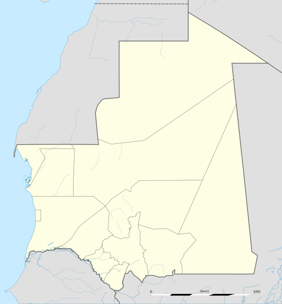
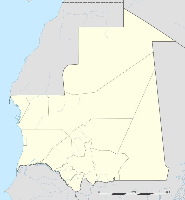
English: Blank administrative map of Mauritania, for geo-location purposes.
Français : Carte administrative vierge de la Mauritanie, destinée à la géolocalisation. Scale: 1:4,400,000 (precision: 1,100 m)
Geographic limits of the map:
|
||
| Date | |||
| Source |
Own work
|
||
| Author | Eric Gaba (Sting - fr:Sting) | ||
| Permission (Reusing this file) |
|
||
| Other versions |
|

Licensing
[edit]
I, the copyright holder of this work, hereby publish it under the following licenses:
This file is licensed under the Creative Commons Attribution-Share Alike 3.0 Unported license.
- You are free:
- to share – to copy, distribute and transmit the work
- to remix – to adapt the work
- Under the following conditions:
- attribution – You must give appropriate credit, provide a link to the license, and indicate if changes were made. You may do so in any reasonable manner, but not in any way that suggests the licensor endorses you or your use.
- share alike – If you remix, transform, or build upon the material, you must distribute your contributions under the same or compatible license as the original.

|
Permission is granted to copy, distribute and/or modify this document under the terms of the GNU Free Documentation License, Version 1.2 or any later version published by the Free Software Foundation; with no Invariant Sections, no Front-Cover Texts, and no Back-Cover Texts. A copy of the license is included in the section entitled GNU Free Documentation License. |
You may select the license of your choice.
File history
Click on a date/time to view the file as it appeared at that time.
| Date/Time | Thumbnail | Dimensions | User | Comment | |
|---|---|---|---|---|---|
| current | 13:49, 23 November 2009 | | 1,283 × 1,384 (184 KB) | Sting (talk | contribs) | == {{int:filedesc}} == {{Location|21|00|00|N|10|57|00|W|scale:7000000}} <br/> {{Information |Description={{en|Blank administrative map of Mauritania, for geo-location purposes.}} {{fr|Carte administrative vierge de la [[:fr:Mauritanie|M |
You cannot overwrite this file.
File usage on Commons
The following 74 pages use this file:
- User:SpinnerLaserzthe2nd/Flags/Flags of Mauritania/Mauritania
- User:Sting/Gallery: Location and locator maps
- File:Adrar in Mauritania.svg
- File:Assaba in Mauritania.svg
- File:Brakna in Mauritania.svg
- File:Chaouia-Ouardigha in Morocco (Morocco controlled and claimed).svg
- File:Chaouia-Ouardigha in Morocco (Morocco view).svg
- File:Chaouia-Ouardigha in Morocco (de-facto).svg
- File:Dakhlet Nouadhibou in Mauritania.svg
- File:Doukkala-Abda in Morocco (Morocco controlled and claimed).svg
- File:Doukkala-Abda in Morocco (Morocco view).svg
- File:Doukkala-Abda in Morocco (de-facto).svg
- File:Fes-Boulemane in Morocco (Morocco controlled and claimed).svg
- File:Fes-Boulemane in Morocco (Morocco view).svg
- File:Fes-Boulemane in Morocco (de-facto).svg
- File:Gharb-Chrarda-Beni Hssen in Morocco (Morocco controlled and claimed).svg
- File:Gharb-Chrarda-Beni Hssen in Morocco (Morocco view).svg
- File:Gharb-Chrarda-Beni Hssen in Morocco (de-facto).svg
- File:Gorgol in Mauritania.svg
- File:Grand Casablanca in Morocco (Morocco controlled and claimed).svg
- File:Grand Casablanca in Morocco (Morocco view).svg
- File:Grand Casablanca in Morocco (de-facto).svg
- File:Grand Casablanca in Morocco (special marker) (Morocco controlled and claimed).svg
- File:Grand Casablanca in Morocco (special marker) (Morocco view).svg
- File:Grand Casablanca in Morocco (special marker) (de-facto).svg
- File:Guelmim-Es Semara in Morocco (Morocco controlled and claimed).svg
- File:Guelmim-Es Semara in Morocco (Morocco view).svg
- File:Guelmim-Es Semara in Morocco (controlled) (de-facto).svg
- File:Guelmim-Es Semara in Morocco (de-facto).svg
- File:Guelmim-Es Semara in Morocco (undisputed) (de-facto).svg
- File:Guidimaka in Mauritania.svg
- File:Hodh Ech Chargui in Mauritania.svg
- File:Hodh El Gharbi in Mauritania.svg
- File:Inchiri in Mauritania.svg
- File:Laayoune-Boujdour-Sakia El Hamra in Morocco (Morocco controlled and claimed).svg
- File:Laayoune-Boujdour-Sakia El Hamra in Morocco (Morocco view).svg
- File:Laayoune-Boujdour-Sakia El Hamra in Morocco (controlled) (de-facto).svg
- File:Laayoune-Boujdour-Sakia El Hamra in Morocco (de-facto).svg
- File:Laayoune-Boujdour-Sakia El Hamra in Morocco (undisputed) (de-facto).svg
- File:Marrakech-Tensift-El Haouz in Morocco (Morocco controlled and claimed).svg
- File:Marrakech-Tensift-El Haouz in Morocco (Morocco view).svg
- File:Marrakech-Tensift-El Haouz in Morocco (de-facto).svg
- File:Mauritania regions numbered.svg
- File:Mauritania relief location map.jpg
- File:Meknes-Tafilalet in Morocco (Morocco controlled and claimed).svg
- File:Meknes-Tafilalet in Morocco (Morocco view).svg
- File:Meknes-Tafilalet in Morocco (de-facto).svg
- File:Nouakchott in Mauritania.svg
- File:Nouakchott in Mauritania (special marker).svg
- File:Oriental in Morocco (Morocco controlled and claimed).svg
- File:Oriental in Morocco (Morocco view).svg
- File:Oriental in Morocco (de-facto).svg
- File:Oued Ed-Dahab-Lagouira in Morocco (Morocco controlled and claimed).svg
- File:Oued Ed-Dahab-Lagouira in Morocco (Morocco view).svg
- File:Oued Ed-Dahab-Lagouira in Morocco (controlled) (de-facto).svg
- File:Oued Ed-Dahab-Lagouira in Morocco (de-facto).svg
- File:Rabat-Sale-Zemmour-Zaer in Morocco (Morocco controlled and claimed).svg
- File:Rabat-Sale-Zemmour-Zaer in Morocco (Morocco view).svg
- File:Rabat-Sale-Zemmour-Zaer in Morocco (de-facto).svg
- File:Souss-Massa-Draa in Morocco (Morocco controlled and claimed).svg
- File:Souss-Massa-Draa in Morocco (Morocco view).svg
- File:Souss-Massa-Draa in Morocco (de-facto).svg
- File:Tadla-Azilal in Morocco (Morocco controlled and claimed).svg
- File:Tadla-Azilal in Morocco (Morocco view).svg
- File:Tadla-Azilal in Morocco (de-facto).svg
- File:Tagant in Mauritania.svg
- File:Tangier-Tetouan in Morocco (Morocco controlled and claimed).svg
- File:Tangier-Tetouan in Morocco (Morocco view).svg
- File:Tangier-Tetouan in Morocco (de-facto).svg
- File:Taza-Al Hoceima-Taounate in Morocco (Morocco controlled and claimed).svg
- File:Taza-Al Hoceima-Taounate in Morocco (Morocco view).svg
- File:Taza-Al Hoceima-Taounate in Morocco (de-facto).svg
- File:Tiris Zemmour in Mauritania.svg
- File:Trarza in Mauritania.svg
.svg)
.svg)
.svg)
.svg)
.svg)
.svg)
.svg)
.svg)
.svg)
.svg)
.svg)
.svg)
.svg)
.svg)
.svg)
_(Morocco_controlled_and_claimed).svg)
_(Morocco_view).svg)
_(de-facto).svg)
.svg)
.svg)
_(de-facto).svg)
.svg)
_(de-facto).svg)
.svg)
.svg)
_(de-facto).svg)
.svg)
_(de-facto).svg)
.svg)
.svg)
.svg)
.svg)
.svg)
.svg)
.svg)
.svg)
.svg)
.svg)
.svg)
.svg)
_(de-facto).svg)
.svg)
.svg)
.svg)
.svg)
.svg)
.svg)
.svg)
.svg)
.svg)
.svg)
.svg)
.svg)
.svg)
.svg)
.svg)
.svg)
File usage on other wikis
The following other wikis use this file:
- Usage on af.wikipedia.org
- Usage on am.wikipedia.org
- Usage on an.wikipedia.org
- Usage on ar.wikipedia.org
- Usage on ast.wikipedia.org
- Usage on azb.wikipedia.org
- Usage on az.wikipedia.org
- Usage on ba.wikipedia.org
- Usage on be-tarask.wikipedia.org
- Usage on be.wikipedia.org
View more global usage of this file.