File:Mexico.BorderBlasters.map.01.png
Jump to navigation
Jump to search

Size of this preview: 799 × 273 pixels. Other resolutions: 320 × 109 pixels | 942 × 322 pixels.
Original file (942 × 322 pixels, file size: 45 KB, MIME type: image/png)
Captions
Captions
Add a one-line explanation of what this file represents
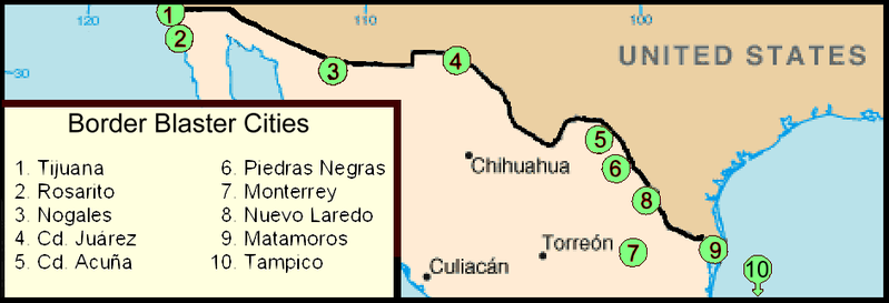
Map of Mexico w/ border-blaster cities highlighted
Modified from Public Domain map File:Mx-map.png.
| This is a retouched picture, which means that it has been digitally altered from its original version. Modifications: border-blaster cities highlighted. The original can be viewed here: Mx-map.png:
|
This work is based on a work in the public domain. It has been digitally enhanced and/or modified. This derivative work has been (or is hereby) released into the public domain by its author, Hajor~commonswiki. This applies worldwide.
In some countries this may not be legally possible; if so: |
File history
Click on a date/time to view the file as it appeared at that time.
| Date/Time | Thumbnail | Dimensions | User | Comment | |
|---|---|---|---|---|---|
| current | 20:12, 7 February 2005 | 942 × 322 (45 KB) | Hajor~commonswiki (talk | contribs) | Map of Mexico w/ border-blaster cities highlighted, PD modified from PD |
You cannot overwrite this file.
File usage on Commons
There are no pages that use this file.